Browse / United States / Texas / Katy
Katy
Texascity

Katy
Total population
25,184
Median home value
$401,700
Bachelor's+
Median income
$114,912
Demographic figures from US Census Bureau · ACS 5-year estimates. Overview below cites Wikipedia and may reference a different year.
City facts
Overview
Katy is a city in the U.S. state of Texas, approximately centered at the tripoint of Harris, Fort Bend, and Waller counties. The population was 21,894 at the 2020 census. It is the center of the urban Greater Katy area, itself forming the western part of the Greater Houston metropolitan area.
Read more on WikipediaHistory & geography
History
The City of Katy sits on Karankawa tribal lands. European colonists' first record of contact with a tribe is in 1528. Over the next 250 years the area was trafficked by French and Spanish European colonists seeking land and trade opportunities. By 1779, the Karakawa were at war with Spanish settlers. In 1790 the war ended and shortly after settlement begins. In the early 1800s Katy came be to be known as "Cane Island", Freed slaves and their families including Thomas (Mary) Robinson and Milto McGinnis, along with Mr. Crawford, Peter Black, and John Sills were the only recorded residents of Cane Island in 1875. In 1895, James Oliver Thomas laid out a town, and in January 1896 the town of Katy was named through Thomas's post office application. The name "Katy" was derived from the MKT Railroad Company, which was commonly referred to as "the K-T" (also its stock exchange symbol). This common designation soon evolved into "the Katy", and since the railroad company and its trains held a key depot station located today's city, the general location came to be known as Katy. The anticipations of prosperity would bring growth to the new town which was developed around the original train stop and railroad tracks. By the early 1900s many families had come by train and wagon to establish Katy. Cotton and peanuts and corn were the first successful crops, but rice soon became the primary commodity crop. Katy later became known for rice farming; the first concrete rice driers in the state of Texas were built here in 1944 and still stand as landmarks. The farming community well supported local businesses as several hotels, stores, livery stables and saloons were prospering. On September 8, 1900, the town's early efforts were swept clean by the Great Galveston Hurricane of 1900,…
Geography
The City of Katy is located at the three-border junction of Harris, Fort Bend, and Waller counties, along Interstate 10, west of downtown Houston and east of Sealy. According to the United States Census Bureau, the city has a total area of , of which is land and is water. The City of Katy's government has also placed a large focus on the downtown redevelopment plan which included the new city hall building and an upcoming downtown green space. Further projects included Typhoon Texas Water Park, Katy Independent School District's Legacy Football Stadium, Katy Independent School District's Rhodes Stadium, Momentum Indoor Climbing Center, REI Climb Store and the YMCA at Katy Main Street. The City of Houston's extraterritorial jurisdiction stretches well west of Katy. This means that a few unincorporated lands in the Katy area could be annexed by the City of Houston at some time in the future, though it is unlikely since Houston is unable to provide basic services to these isolated areas. The city of Katy's extraterritorial jurisdiction, meanwhile, is limited to parcels of land west and north of the city itself. The climate in this area is characterized by hot, humid summers and generally mild to cool winters. According to the Köppen climate classification system, Katy has a humid subtropical climate, abbreviated "Cfa" on climate maps. The area is located in the Western Gulf Coastal Grasslands, or the coastal prairie.
Excerpted from the corresponding Wikipedia article (CC BY-SA).
Demographics & economy
Race & ethnicity
Source: US Census Bureau — American Community Survey, 5-year estimates.
Geography
Coordinates & boundaries from the US Census TIGER/Line shapefiles.
Climate
Air quality
Industrial & pollution facilities
Natural hazard risk
Health (adults)
Walkability
Amenities nearby
Wildlife & biodiversity
Most-observed species
- Northern CardinalCardinalis cardinalis (Linnaeus, 1758) · Aves21,507
- Northern MockingbirdMimus polyglottos (Linnaeus, 1758) · Aves21,188
- Blue JayCyanocitta cristata (Linnaeus, 1758) · Aves19,678
- Mourning DoveZenaida macroura (Linnaeus, 1758) · Aves17,593
- Great EgretArdea alba Linnaeus, 1758 · Aves13,783
- Carolina ChickadeePoecile carolinensis (Audubon, 1834) · Aves13,097
- White-winged DoveZenaida asiatica (Linnaeus, 1758) · Aves12,722
- Turkey VultureCathartes aura (Linnaeus, 1758) · Aves11,425
Citizen-science & research observations from the Global Biodiversity Information Facility (GBIF).
Schools
Earthquake history
Most recent
- M 2.5 — 2024-04-024 km SSW of Round Top, Texas
Events from the USGS Earthquake Catalog (global) (FDSN Event Web Service).
Photos
Sights & places nearby
Notable people from here
Nearby places in Texas
Geography & sun
Elevation, sunrise/sunset and daylight from Open-Meteo. Solar climatology from NASA POWER.
Nearby airports
Public attention
Pageview totals from the Wikimedia Pageviews API.
Books about Katy






Search results from Open Library.
Recent natural events nearby
- Wildfire Star Lake, Jefferson, TexasWildfires · 2026-09-11 · 101 mi
- Wildfire Hydra, Bosque, TexasWildfires · 2026-09-14 · 178 mi
- Prescribed Fire RX CALV BU 104-108, Vernon, LouisianaWildfires · 2026-09-16 · 179 mi
- Wildfire Rio Escondido, Hamilton, TexasWildfires · 2026-08-24 · 179 mi
- Wildfire Kurk, San Saba, TexasWildfires · 2026-09-08 · 189 mi
- Wildfire Dos Pistolas, Brooks, TexasWildfires · 2026-08-11 · 240 mi
Wildfires, storms and other events from NASA EONET (last 12 months, within 250 mi).
Ground air-quality sensors
Recently spotted species
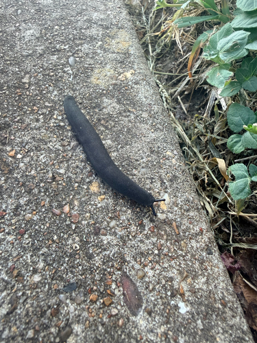
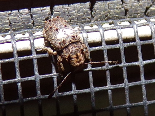
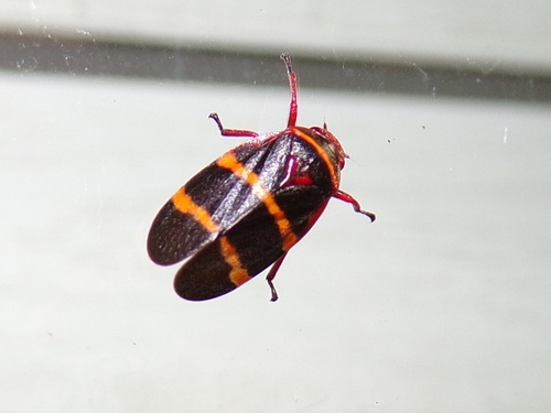
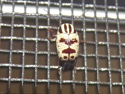
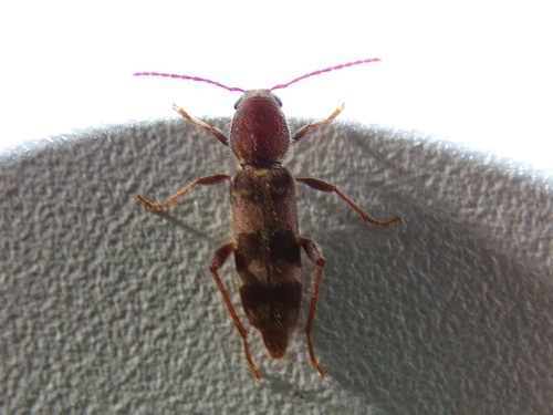
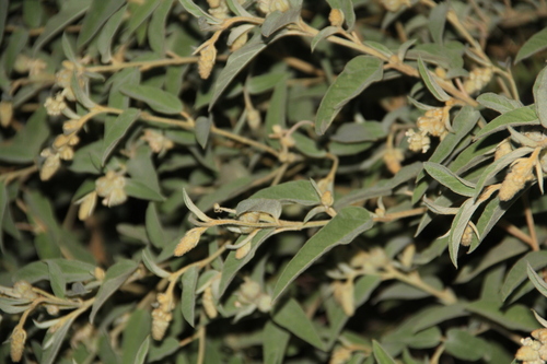
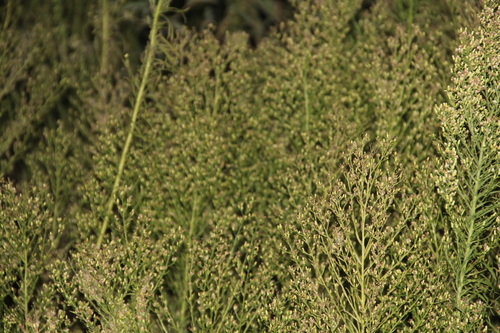
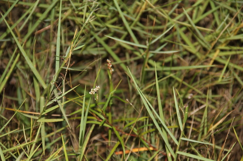
Research-grade observations from iNaturalist (within ~15 mi).
Nearest stream gauge
Live readings from USGS NWIS · measured 2026-09-21 10:30 UTC.
Events
Gallery
Sources
- • Wikipedia
- • US Census Bureau (ACS 5-year estimates)
- • USGS Earthquake Catalog (global feed)
- • USGS NWIS (water data)
- • GBIF (Global Biodiversity Information Facility)
- • iNaturalist
- • Open-Meteo / sunrise-sunset.org
- • Wikipedia Pageviews API
- • Open Library
- • NASA EONET