Browse / United States / Texas / Killeen
Killeen
Texascity

Killeen
Total population
160,618
Median home value
$239,200
Bachelor's+
Median income
$60,141
Founded
1872
Air quality index
Demographic figures from US Census Bureau · ACS 5-year estimates. Overview below cites Wikipedia and may reference a different year.
City facts
Sister cities
Facts from Wikidata (CC0).
Overview
Killeen is a city in the U.S. state of Texas, located in Bell County. According to the 2020 census, its population was 153,095, making it the 19th-most populous city in Texas and the largest of the three principal cities of Bell County. It is the principal city of the Killeen–Temple–Fort Hood Metropolitan Statistical Area. Killeen is 68 miles (109 km) north of Austin, 125 miles (201 km) southwest of Dallas, and 125 miles (201 km) northeast of San Antonio.
Read more on WikipediaHistory & geography
History
In 1881, the Gulf, Colorado and Santa Fe Railway extended its tracks through central Texas, buying a few miles southwest of a small farming community known as Palo Alto, which had existed since about 1872. The railroad platted a 70-block town on its land and named it after Frank P. Killeen, the assistant general manager of the railroad. By the next year, the town included a railroad depot, a saloon, several stores, and a school. Many of the residents of the surrounding smaller communities in the area moved to Killeen. By 1884, the town had grown to include about 350 people, served by five general stores, two gristmills, two cotton gins, two saloons, a lumberyard, a blacksmith shop, and a hotel. Killeen expanded as it became an important shipping point for cotton, wool, and grain in western Bell and eastern Coryell Counties. By 1900, its population was about 780. Around 1905, local politicians and businessmen convinced the Texas legislature to build bridges over Cowhouse Creek and other streams, doubling Killeen's trade area. A public water system began operation in 1914 and its population had increased to 1,300 residents. Until the 1940s, Killeen remained a relatively small and isolated farm trade center. The buildup associated with World War II changed that dramatically. In 1942, Camp Hood (recommissioned as Fort Hood in 1950) was created as a military training post to meet war demands. Laborers, construction workers, contractors, soldiers, and their families moved into the area by the thousands, and Killeen became a military boomtown. The opening of Camp Hood radically altered the nature of the local economy, since the sprawling new military post covered almost half of Killeen's farming trade area. The loss of more than 300 farms and ranches led to the demise of…
Geography
Killeen is located in western Bell County and is bordered to the north by Fort Hood and to the east by Harker Heights. Killeen is west of Belton, the county seat and nearest access to Interstate 35. According to the United States Census Bureau, the city has a total area of , of which is land and , or 1.24%, is covered by water. According to the Köppen Climate Classification system, Killeen has a humid subtropical climate, abbreviated "Cfa" on climate maps. The hottest temperature recorded in Killeen was on September 4, 2000 and September 6, 2000, while the coldest temperature recorded was on December 23–24, 1989.NWSIEM | source 2 = | source = }}
Excerpted from the corresponding Wikipedia article (CC BY-SA).
Demographics & economy
Race & ethnicity
Source: US Census Bureau — American Community Survey, 5-year estimates.
Geography
Coordinates & boundaries from the US Census TIGER/Line shapefiles.
Climate
Current forecast
Forecast for Killeen, TX from NOAA NWS API.
Air quality
Current readings from Open-Meteo Air Quality API (Copernicus CAMS European reanalysis).
Industrial & pollution facilities
Natural hazard risk
Health (adults)
Age-adjusted prevalence estimates from CDC PLACES (latest release).
Walkability
Amenities nearby
Wildlife & biodiversity
Most-observed species
- Northern CardinalCardinalis cardinalis (Linnaeus, 1758) · Aves4,758
- Turkey VultureCathartes aura (Linnaeus, 1758) · Aves3,410
- Carolina ChickadeePoecile carolinensis (Audubon, 1834) · Aves3,078
- Northern MockingbirdMimus polyglottos (Linnaeus, 1758) · Aves3,009
- Mourning DoveZenaida macroura (Linnaeus, 1758) · Aves2,753
- American CrowCorvus brachyrhynchos C.L.Brehm, 1822 · Aves2,736
- Carolina WrenThryothorus ludovicianus (Latham, 1790) · Aves2,697
- Black VultureCoragyps atratus (Bechstein, 1793) · Aves2,171
Citizen-science & research observations from the Global Biodiversity Information Facility (GBIF).
Schools
Largest nearby schools
- HARKER HEIGHTS H SHigh · HARKER HEIGHTS · 2,359 students · 17.7:1 ratio
- ROBERT M SHOEMAKER H SHigh · KILLEEN · 2,175 students · 17.5:1 ratio
- KILLEEN H SHigh · KILLEEN · 2,076 students · 16.3:1 ratio
- CHAPARRAL H SHigh · KILLEEN · 1,711 students · 16.8:1 ratio
- C E ELLISON H SHigh · KILLEEN · 1,682 students · 14.8:1 ratio
- ROY J SMITH MIDDLEMiddle · KILLEEN · 1,327 students · 19:1 ratio
- NOLAN MIDDLEMiddle · HARKER HEIGHTS · 1,178 students · 17.8:1 ratio
- KILLEEN ELElementary · KILLEEN · 1,135 students · 15.5:1 ratio
Public K–12 schools within ~10 mi from Urban Institute Education Data Portal (NCES Common Core of Data, 2022).
Earthquake history
Most recent
- M 2.9 — 2015-09-037 km NNE of Leander, Texas
- M 2.7 — 2007-09-1511 km ENE of Milano, Texas
Events from the USGS Earthquake Catalog (global) (FDSN Event Web Service).
Photos
Sights & places nearby
Notable people from here


People born within ~10 km, from Wikidata (CC0). Click any name for their Wikipedia article.
Nearby places in Texas
- Briggs17.2 mi away · pop. 44
- Jarrell19.7 mi away
- Holland23.6 mi away
- Little River-Academy23.8 mi away
- Lampasas26.7 mi away
- McGregor29.7 mi away
- Lorena37.4 mi away
- Burnet37.6 mi away · pop. 6,732
- Buckholts38.4 mi away · pop. 374
- Chilton42.2 mi away · pop. 698
- Lott42.2 mi away
- Buchanan Lake Village44.2 mi away · pop. 425
Geography & sun
Elevation, sunrise/sunset and daylight from Open-Meteo. Solar climatology from NASA POWER.
Nearby airports
Public attention
Pageview totals from the Wikimedia Pageviews API.
Books about Killeen
Search results from Open Library.
Recent natural events nearby
- Rx Parker 3877 Prescribed Fire, Parker, TexasWildfires · 2026-04-29 · 124 mi
- RX Trinity 3522 Prescribed Fire, Trinity, TexasWildfires · 2026-04-17 · 146 mi
- Rx Cherokee 3533 Prescribed Fire, Cherokee, TexasWildfires · 2026-04-17 · 159 mi
- Rx Upshur 3999 Prescribed Fire, Upshur, TexasWildfires · 2026-05-11 · 196 mi
Wildfires, storms and other events from NASA EONET (last 12 months, within 250 mi).
Ground air-quality sensors
Recently spotted species
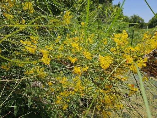
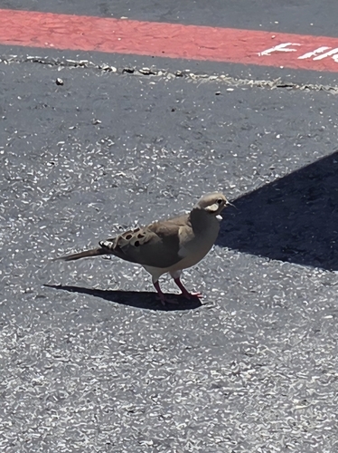
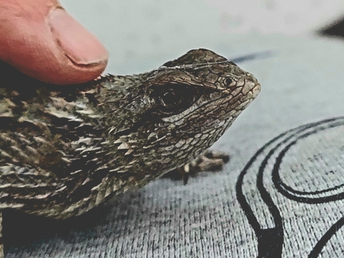
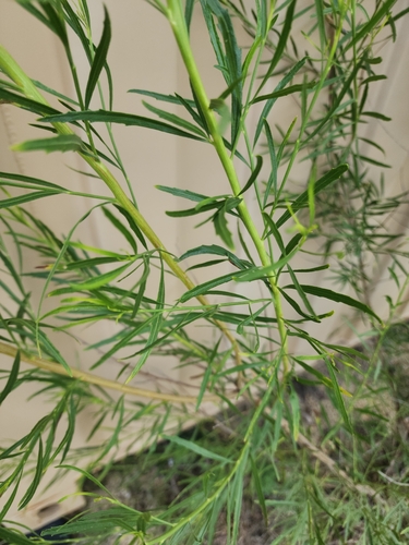
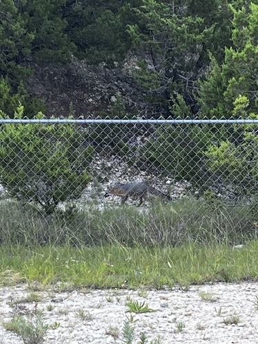
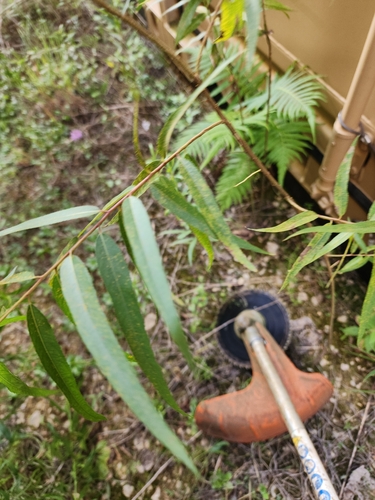

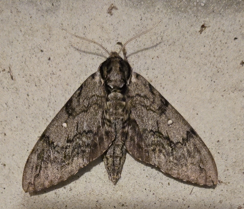
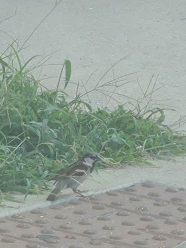
Research-grade observations from iNaturalist (within ~15 mi).
Nearest stream gauge
Live readings from USGS NWIS · measured 2026-06-20 04:10 UTC.
Events
Gallery
Geotagged photos within ~6 miles of Killeen, from Wikimedia Commons contributors.
 0.4 mi
 0.4 mi
 0.4 mi
 0.4 mi
 0.4 mi
 0.4 mi
 0.4 mi
 0.4 mi
 0.4 mi
 1.3 mi
 1.7 mi
 1.7 mi
 2.4 mi
 2.4 mi
 2.4 mi
 2.4 mi
 2.4 mi
 2.5 mi
 2.7 mi
_(11176386656).jpg) 2.7 mi
2.7 mi_(11176341475).jpg) 2.7 mi
2.7 mi_(11176339005).jpg) 2.7 mi
2.7 mi 3 mi
3 mi 3 mi
3 miPhotos via Wikimedia Commons — see each image page for license & attribution.
Sources
- • Wikipedia
- • US Census Bureau (ACS 5-year estimates)
- • NOAA National Weather Service
- • Wikimedia Commons
- • Wikidata
- • Open-Meteo Air Quality (CAMS)
- • USGS Earthquake Catalog (global feed)
- • USGS NWIS (water data)
- • NCES via Urban Institute Education Data Portal
- • GBIF (Global Biodiversity Information Facility)
- • iNaturalist
- • CDC PLACES
- • Open-Meteo / sunrise-sunset.org
- • Wikipedia Pageviews API
- • Open Library
- • NASA EONET