Browse / United States / Texas / Laredo
Laredo
Texascity

Laredo
Total population
261,408
Median home value
$210,100
Bachelor's+
Median income
$61,519
Founded
1755
Demographic figures from US Census Bureau · ACS 5-year estimates. Overview below cites Wikipedia and may reference a different year.
City facts
Sister cities
Facts from Wikidata (CC0).
Overview
Laredo is a city in the U.S. state of Texas and the county seat and largest city of Webb County, on the north bank of the Rio Grande in South Texas, across from Nuevo Laredo, Tamaulipas, Mexico. Founded in 1755, Laredo grew from a village to the capital of the short-lived Republic of the Rio Grande to the largest inland port on the Mexican border. Laredo's economy is primarily based on international trade with Mexico, and as a major hub for three areas of transportation: land, rail, and air cargo. The city is on the southern end of I-35, which connects manufacturers in northern Mexico through Interstate 35 as a major route for trade throughout the U.S. It has four international bridges and two railway bridges.
Read more on WikipediaHistory & geography
History
The Spanish colonial settlement of Villa de San Agustín de Laredo was founded in 1755 by Don Tomás Sánchez de la Barrera, while the area was part of the Nuevo Santander region in the Spanish viceroyalty of New Spain. Villa de San Agustín de Laredo was named after Laredo, Cantabria, Spain and in honor of Saint Augustine of Hippo. In 1840, Laredo was the capital of the independent Republic of the Rio Grande, set up in opposition to Antonio López de Santa Anna; it was brought back into Mexico by military force. In 1846 during the Mexican–American War, the town was occupied by the Texas Rangers. After the war, the Treaty of Guadalupe-Hidalgo ceded the land to the United States. A referendum was taken in the town, which voted to petition the American military government in charge of the area to return the town to Mexico. When this petition was rejected, many who had been in the area for generations, moved across the river into Mexican territory, where they founded Nuevo Laredo. Many others, especially original land grantees on the north side of the Rio Grande remained, becoming Texans in the process. In 1849, the United States Army set up Fort McIntosh (originally Camp Crawford). Laredo was rechartered as a city in 1852. Laredo is one of the oldest crossing points along the Mexico–United States border, and the nation's largest inland port of entry. In 2005, Laredo celebrated the 250th anniversary of its founding. The etymology of the name for the Spanish town of Laredo is unclear. Some scholars say the name stems from glaretum, which means "sandy, rocky place". Others state Laredo stems from a Basque word meaning "beautiful pastures". Laredo might also stem from the Latin larida, which means gull. Cellist Yo-Yo Ma brought his Bach Project to the Juarez–Lincoln…
Geography
According to the United States Census Bureau, the city has a total area of 102.6 square miles (265.7 km), of which 1.5 square miles (3.9 km) (1.37%) are covered by water. Laredo is on the west end of the Rio Grande Plains, south of the Edwards Plateau, west of the Coastal Plains, and east of the Mexican Mountains. The area consists of a few hills and flat land covered with grasses, oaks, and mesquite. Notable geographic features are the Rio Grande and Chacon Creek's man-made reservoir, Lake Casa Blanca, in Lake Casa Blanca International State Park. The lake is of land and of water. The six major creeks are Chacon Creek, San Ildefonso Creek, San Ygnacio Creek, Santa Isabel Creek, Sombrerillito Creek, and Zacate Creek, all of which drain into the Rio Grande. Several man-made reservoirs include the San Ildefonso Creek Lake (second-largest reservoir), and the Sombrerillito Creek Lake (third-largest reservoir). Laredo is considered to have a hot semi-arid climate (Köppen, BSh). with sweltering temperatures in the summer and mild temperatures during the winter. Its weather is affected by the Sierra Madre Oriental mountains to the west, the Gulf of Mexico to the east, and the Chihuahuan Desert of Northern Mexico and West Texas. Moisture from the Pacific is cut off by the Mexican mountain range. The normal monthly mean temperature ranges from in January to in August; official record temperatures range from on December 30, 1983, up to on May 7, 1927, June 17, 1908, and June 19, 2023. Actual annual rainfall has ranged from in 2011 to in 1971. The highest monthly rainfalls have been in September 1923, in July 1919, in June 1973 and in September 1971. The heaviest daily rainfall has been on July 28, 1903. In contrast, not even a trace fell for…
Excerpted from the corresponding Wikipedia article (CC BY-SA).
Demographics & economy
Race & ethnicity
Source: US Census Bureau — American Community Survey, 5-year estimates.
Geography
Coordinates & boundaries from the US Census TIGER/Line shapefiles.
Climate
Current forecast
Forecast for Laredo, TX from NOAA NWS API.
Air quality
Industrial & pollution facilities
Natural hazard risk
Health (adults)
Age-adjusted prevalence estimates from CDC PLACES (latest release).
Walkability
Amenities nearby
Wildlife & biodiversity
Most-observed species
- Great-tailed GrackleQuiscalus mexicanus (Gmelin, 1788) · Aves3,270
- Great KiskadeePitangus sulphuratus (Linnaeus, 1766) · Aves2,830
- Golden-fronted WoodpeckerMelanerpes aurifrons (Wagler, 1829) · Aves2,691
- Northern MockingbirdMimus polyglottos (Linnaeus, 1758) · Aves2,676
- Northern CardinalCardinalis cardinalis (Linnaeus, 1758) · Aves2,661
- Green JayCyanocorax yncas (Boddaert, 1783) · Aves2,517
- Turkey VultureCathartes aura (Linnaeus, 1758) · Aves2,220
- White-winged DoveZenaida asiatica (Linnaeus, 1758) · Aves2,128
Citizen-science & research observations from the Global Biodiversity Information Facility (GBIF).
Schools
Largest nearby schools
- UNITED H SHigh · LAREDO · 3,644 students · 16.3:1 ratio
- LYNDON B JOHNSONHigh · LAREDO · 3,252 students · 16.8:1 ratio
- UNITED SOUTH H SHigh · LAREDO · 3,243 students · 16.9:1 ratio
- JOHN B ALEXANDER H SHigh · LAREDO · 3,070 students · 18.3:1 ratio
- NIXON H SHigh · LAREDO · 2,218 students · 14.6:1 ratio
- MARTIN H SHigh · LAREDO · 1,914 students · 13.7:1 ratio
- DR LEO CIGARROA H SHigh · LAREDO · 1,472 students · 13.8:1 ratio
- LAMAR MIDDLEMiddle · LAREDO · 1,341 students · 16.4:1 ratio
Public K–12 schools within ~10 mi from Urban Institute Education Data Portal (NCES Common Core of Data, 2022).
Earthquake history
Events from the USGS Earthquake Catalog (global) (FDSN Event Web Service).
Photos
Sights & places nearby
Notable people from here


People born within ~10 km, from Wikidata (CC0). Click any name for their Wikipedia article.
Nearby places in Texas
- Los Corralitos7 mi away
- Los Altos8 mi away
- Laredo Ranchettes West8.8 mi away
- Laredo Ranchettes9.3 mi away
- Los Minerales10.3 mi away
- La Presa11.6 mi away
- La Coma12.1 mi away
- Botines14.7 mi away · pop. 69
- Los Veteranos II14.8 mi away
- El Cenizo15.8 mi away · pop. 2,122
- Bonanza Hills16.2 mi away · pop. 28
- Four Points16.4 mi away · pop. 63
Geography & sun
Elevation, sunrise/sunset and daylight from Open-Meteo. Solar climatology from NASA POWER.
Nearby airports
Public attention
Pageview totals from the Wikimedia Pageviews API.
Books about Laredo


Search results from Open Library.
Recent natural events nearby
- Wildfire Dos Pistolas, Brooks, TexasWildfires · 2026-08-11 · 76 mi
- Wildfire Breezy, Starr, TexasWildfires · 2026-09-16 · 90 mi
- Wildfire SAN FRANCISCO 2, Starr, TexasWildfires · 2026-09-30 · 101 mi
- Wildfire Clark, Edwards, TexasWildfires · 2026-09-16 · 172 mi
- Wildfire McKee Draw, Edwards, TexasWildfires · 2026-08-29 · 188 mi
- Wildfire West Fork, Sutton, TexasWildfires · 2026-08-28 · 198 mi
- Wildfire Dry River, Sutton, TexasWildfires · 2026-09-15 · 219 mi
- Wildfire Rafter 4B, Schleicher, TexasWildfires · 2026-09-26 · 230 mi
Wildfires, storms and other events from NASA EONET (last 12 months, within 250 mi).
Ground air-quality sensors
Recently spotted species
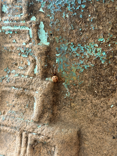
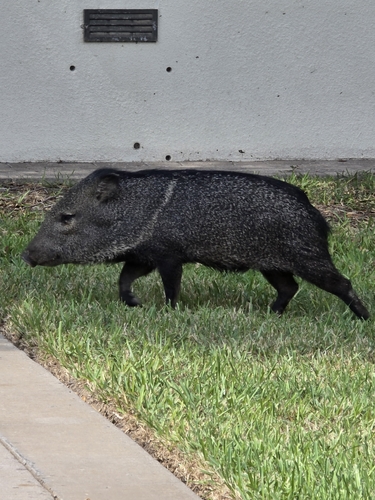
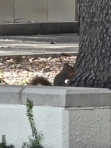
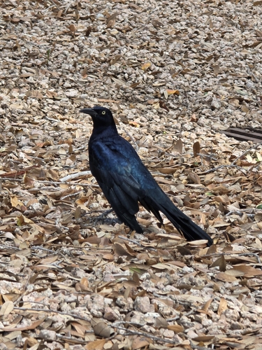
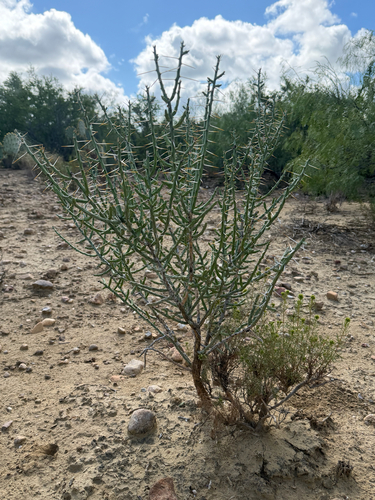
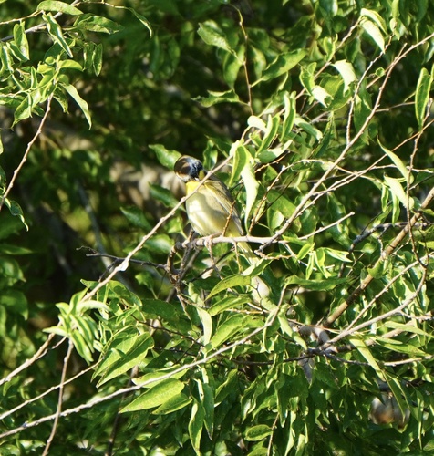
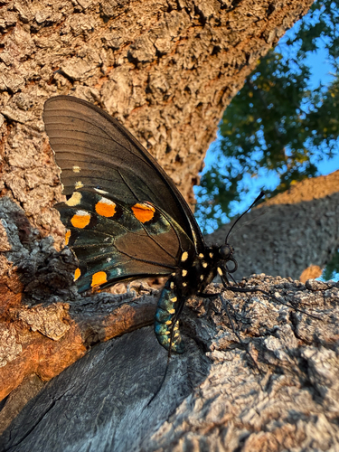
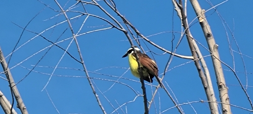
Research-grade observations from iNaturalist (within ~15 mi).
Nearest stream gauge
Live readings from USGS NWIS · measured 2026-10-16 15:15 UTC.
Events
Gallery
Sources
- • Wikipedia
- • US Census Bureau (ACS 5-year estimates)
- • NOAA National Weather Service
- • Wikidata
- • USGS Earthquake Catalog (global feed)
- • USGS NWIS (water data)
- • NCES via Urban Institute Education Data Portal
- • GBIF (Global Biodiversity Information Facility)
- • iNaturalist
- • CDC PLACES
- • Open-Meteo / sunrise-sunset.org
- • Wikipedia Pageviews API
- • Open Library
- • NASA EONET