Browse / United States / Texas / Leander
Leander
Texascity

Leander
Total population
74,067
Median home value
$506,200
Bachelor's+
Median income
$139,048
Air quality index
Demographic figures from US Census Bureau · ACS 5-year estimates. Overview below cites Wikipedia and may reference a different year.
City facts
Facts from Wikidata (CC0).
Overview
Leander is a city in Williamson and Travis Counties, Texas, United States. Its population was 59,202 at the 2020 census and 91,132 at the 2025 census estimate. A suburb just north of Austin, and part of the Greater Austin metropolitan area, it was the fastest-growing city in the United States between 2018 and 2019.
Read more on WikipediaHistory & geography
History
Leander was established in 1882 on land sold by the Austin and Northwestern Railroad Co. to prospective citizens. The town was named in honor of Leander "Catfish" Brown, one of the railroad officials responsible for the completion of the line. Tumlinson Fort, the first Anglo-American settlement in Williamson County, was established in early January 1836 at the headwaters of Brushy Creek, four miles south of present-day Leander. With the purpose of protecting settlers from attacks by the Comanche, a company of Texas Rangers occupied the post until late February, when the invasion of Santa Anna made abandoning the post necessary, soon after which it was burned by the Comanche. The Webster Massacre occurred just east of present-day Leander in October, 1839, Dolly Webster's account, Near Leander, the Leanderthal Lady, a skeleton dating back 10,000 to 13,000 years, was discovered; the site was one of the earliest intact burials found in the United States. In August and September 2011, destructive wildfires swept through two central Leander neighborhoods, burning a total of and destroying 26 homes.
Geography
Leander is located at the intersection of Ranch to Market Road 2243 and U.S. Route 183, about 22 miles northwest of downtown Austin. Georgetown lies five miles to the east on Route 2243. According to the City of Leander, the city has a total area of , all land.
Excerpted from the corresponding Wikipedia article (CC BY-SA).
Demographics & economy
Race & ethnicity
Source: US Census Bureau — American Community Survey, 5-year estimates.
Geography
Coordinates & boundaries from the US Census TIGER/Line shapefiles.
Climate
Current forecast
Forecast for Leander, TX from NOAA NWS API.
Air quality
Current readings from Open-Meteo Air Quality API (Copernicus CAMS European reanalysis).
Industrial & pollution facilities
Natural hazard risk
Health (adults)
Age-adjusted prevalence estimates from CDC PLACES (latest release).
Walkability
Amenities nearby
Wildlife & biodiversity
Most-observed species
- Northern CardinalCardinalis cardinalis (Linnaeus, 1758) · Aves29,770
- White-winged DoveZenaida asiatica (Linnaeus, 1758) · Aves23,106
- Northern MockingbirdMimus polyglottos (Linnaeus, 1758) · Aves20,525
- Carolina WrenThryothorus ludovicianus (Latham, 1790) · Aves19,817
- Carolina ChickadeePoecile carolinensis (Audubon, 1834) · Aves19,522
- Blue JayCyanocitta cristata (Linnaeus, 1758) · Aves18,071
- Lesser GoldfinchSpinus psaltria (Say, 1822) · Aves15,612
- House FinchHaemorhous mexicanus (P.L.Statius Müller, 1776) · Aves14,535
Citizen-science & research observations from the Global Biodiversity Information Facility (GBIF).
Schools
Largest nearby schools
- WESTWOOD H SHigh · AUSTIN · 2,820 students · 16.8:1 ratio
- VISTA RIDGE H SHigh · CEDAR PARK · 2,646 students · 16:1 ratio
- LEANDER H SHigh · LEANDER · 2,218 students · 15:1 ratio
- GLENN H SHigh · LEANDER · 2,063 students · 14.7:1 ratio
- LIBERTY HILL H SHigh · LIBERTY HILL · 2,001 students · 17.1:1 ratio
- CEDAR PARK H SHigh · CEDAR PARK · 1,952 students · 15.4:1 ratio
- ROUSE H SHigh · LEANDER · 1,943 students · 15.3:1 ratio
- FLORENCE W STILES MIDDLEMiddle · LEANDER · 1,503 students · 15.8:1 ratio
Public K–12 schools within ~10 mi from Urban Institute Education Data Portal (NCES Common Core of Data, 2022).
Earthquake history
Most recent
- M 2.9 — 2015-09-037 km NNE of Leander, Texas
Events from the USGS Earthquake Catalog (global) (FDSN Event Web Service).
Photos
Sights & places nearby
Notable people from here


People born within ~10 km, from Wikidata (CC0). Click any name for their Wikipedia article.
Nearby places in Texas
Geography & sun
Elevation, sunrise/sunset and daylight from Open-Meteo. Solar climatology from NASA POWER.
Nearby airports
Public attention
Pageview totals from the Wikimedia Pageviews API.
Books about Leander
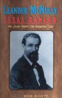




Search results from Open Library.
Recent natural events nearby
- Wildfire Kurk, San Saba, TexasWildfires · 2026-09-08 · 58 mi
- Wildfire Rio Escondido, Hamilton, TexasWildfires · 2026-08-24 · 65 mi
- Wildfire Hydra, Bosque, TexasWildfires · 2026-09-14 · 89 mi
- Wildfire West Fork, Sutton, TexasWildfires · 2026-08-28 · 137 mi
- Wildfire Lobo, Eastland, TexasWildfires · 2026-09-15 · 143 mi
- Wildfire McKee Draw, Edwards, TexasWildfires · 2026-08-29 · 149 mi
- Wildfire Ross, Palo Pinto, TexasWildfires · 2026-08-24 · 154 mi
- Wildfire Clark, Edwards, TexasWildfires · 2026-09-16 · 155 mi
Wildfires, storms and other events from NASA EONET (last 12 months, within 250 mi).
Ground air-quality sensors
Recently spotted species
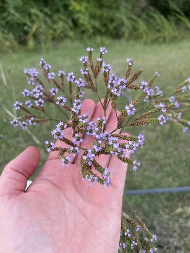
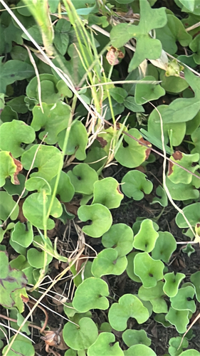
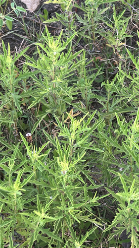
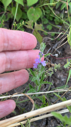
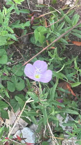
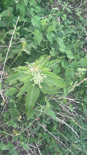
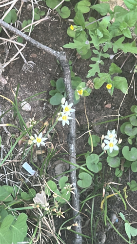
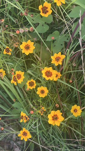
Research-grade observations from iNaturalist (within ~15 mi).
Nearest stream gauge
Live readings from USGS NWIS · measured 2026-06-28 08:40 UTC.
Events
Gallery
Sources
- • Wikipedia
- • US Census Bureau (ACS 5-year estimates)
- • NOAA National Weather Service
- • Wikidata
- • Open-Meteo Air Quality (CAMS)
- • USGS Earthquake Catalog (global feed)
- • USGS NWIS (water data)
- • NCES via Urban Institute Education Data Portal
- • GBIF (Global Biodiversity Information Facility)
- • iNaturalist
- • CDC PLACES
- • Open-Meteo / sunrise-sunset.org
- • Wikipedia Pageviews API
- • Open Library
- • NASA EONET