Browse / United States / Texas / Lopeño
Lopeño
TexasCDP

Lopeño
Total population
89
Median home value
$0
Bachelor's+
Median income
$0
Demographic figures from US Census Bureau · ACS 5-year estimates. Overview below cites Wikipedia and may reference a different year.
City facts
Facts from Wikidata (CC0).
Overview
Lopeño is a census-designated place (CDP) in Zapata County, Texas, United States. As of the 2020 census, Lopeño had a population of 70.
Read more on WikipediaHistory & geography
History
The development of the area began c. 1747 when Col. José de Escandón began bringing colonists to establish permanent settlements along Mexico's northern frontier, when parcels of land were granted to the colonists by the Spanish government. In 1767 Ysabel María Sánchez, widow of early settler and rancher Joseph López, was allotted more than 6000 acres. The village of Lopeño, later developed on this land, was named after the López family. During the early 1800s, part of the López land passed to the ownership of the Ramírez family founders of the nearby village of Falcón. In 1821, Benito Ramírez built a combination home, fort, and chapel that came to be Fort Lopeño. Federal troops briefly occupied the fort during 1856 to ease border disturbances. A general store, established in the early 1900s by Serafín Benavides, served as the area's only supply point at the time. A post office was established in 1920 and in 1934 oil and gas were drilled in the area.
Geography
Lopeño is located at (26.709987, -99.109457). According to the United States Census Bureau, the CDP has a total area of 0.8 square mile (2.0 km2), all land.
Excerpted from the corresponding Wikipedia article (CC BY-SA).
Demographics & economy
Race & ethnicity
Source: US Census Bureau — American Community Survey, 5-year estimates.
Geography
Coordinates & boundaries from the US Census TIGER/Line shapefiles.
Climate
Current forecast
Forecast for Lopeño, TX from NOAA NWS API.
Air quality
Industrial & pollution facilities
Natural hazard risk
Health (adults)
Walkability
Amenities nearby
Wildlife & biodiversity
Schools
Earthquake history
Photos
Sights & places nearby
Notable people from here
Nearby places in Texas
- Los Lobos8.2 mi away
- H. Cuellar Estates10.5 mi away
- Indio11.3 mi away
- La Loma de Falcon12.1 mi away
- Jardin de San Julian12.9 mi away
- Los Arrieros13.6 mi away
- La Minita14.6 mi away
- Falcon Mesa16.1 mi away · pop. 426
- Las Palmas19.8 mi away
- Guadalupe Guerra20.8 mi away
- J.F. Villareal21.5 mi away
- Loma Vista21.7 mi away
Geography & sun
Nearby airports
Public attention
Books about this place
Recent natural events nearby
- Wildfire Breezy, Starr, TexasWildfires · 2026-09-16 · 30 mi
- Wildfire Dos Pistolas, Brooks, TexasWildfires · 2026-08-11 · 53 mi
- Wildfire Clark, Edwards, TexasWildfires · 2026-09-16 · 235 mi
Wildfires, storms and other events from NASA EONET (last 12 months, within 250 mi).
Ground air-quality sensors
Recently spotted species
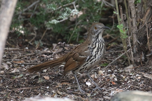



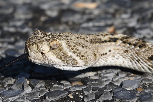
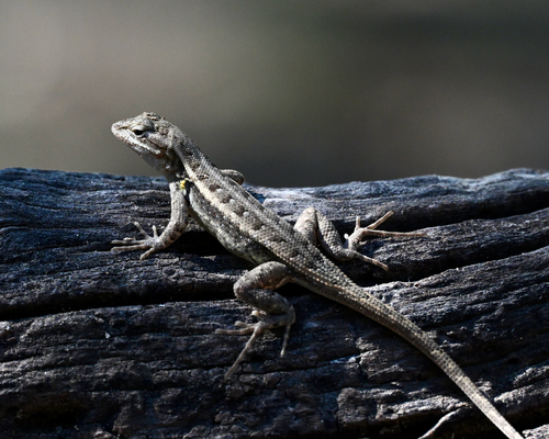
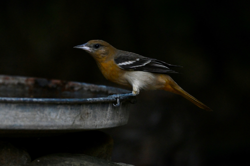
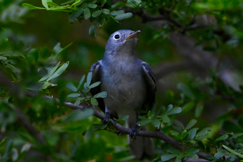
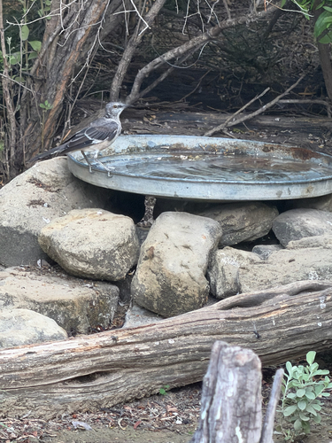
Research-grade observations from iNaturalist (within ~15 mi).
Nearest stream gauge
Live readings from USGS NWIS · measured 2026-09-26 21:15 UTC.
Events
Gallery
Sources
- • Wikipedia
- • US Census Bureau (ACS 5-year estimates)
- • NOAA National Weather Service
- • Wikidata
- • USGS NWIS (water data)
- • iNaturalist
- • NASA EONET