Browse / United States / Texas / Los Angeles
Los Angeles
TexasCDP

Los Angeles
Total population
553

Air quality index
Demographic figures from US Census Bureau · ACS 5-year estimates. Overview below cites Wikipedia and may reference a different year.
City facts
Overview
Los Angeles sits in Texas, United States and is identified as a small census-designated community. Located at 26.495°, -97.786°, Los Angeles occupies a subtropical portion of the northern hemisphere. Recent open-data figures place its population at about 553. The location receives about 1,770 kWh/m² of solar irradiance per year and sunshine for roughly 69% of daylight hours. Based on its subtropical position, residents likely encounter hot summers and mild winters typical of the subtropics. Long-term weather observations show average highs near 86.1°F and lows near 68.6°F with about 30.5 in of annual precipitation (a moderate total). It covers a compact 0.4 km² of land area. Resident density is around 1,383 per km², indicating a high population density. Additional figures on demographics, climate, geography and points of interest appear in the sections that follow, all drawn from open public datasets.
Summary composed automatically from structured open data on this page. See our Terms for details.
History & geography
Demographics & economy
Geography
Coordinates & boundaries from the US Census TIGER/Line shapefiles.
Climate
10-year averages from ERA5 reanalysis (Open-Meteo).
Current forecast
Forecast for Los Angeles, TX from NOAA NWS API.
Air quality
Current readings from Open-Meteo Air Quality API (Copernicus CAMS European reanalysis).
Industrial & pollution facilities
Natural hazard risk
Health (adults)
Age-adjusted prevalence estimates from CDC PLACES (latest release).
Walkability
Amenities nearby
Wildlife & biodiversity
Most-observed species
- Quiscalus mexicanus (Gmelin, 1788)Quiscalus mexicanus (Gmelin, 1788) · Aves2,224
- Zenaida macroura (Linnaeus, 1758)Zenaida macroura (Linnaeus, 1758) · Aves1,863
- Cathartes aura (Linnaeus, 1758)Cathartes aura (Linnaeus, 1758) · Aves1,632
- Agelaius phoeniceus (Linnaeus, 1766)Agelaius phoeniceus (Linnaeus, 1766) · Aves1,301
- Falco sparverius Linnaeus, 1758Falco sparverius Linnaeus, 1758 · Aves1,260
- Mimus polyglottos (Linnaeus, 1758)Mimus polyglottos (Linnaeus, 1758) · Aves1,167
- Melanerpes aurifrons (Wagler, 1829)Melanerpes aurifrons (Wagler, 1829) · Aves1,130
- Caracara plancus (J.F.Miller, 1777)Caracara plancus (J.F.Miller, 1777) · Aves1,120
Citizen-science & research observations from the Global Biodiversity Information Facility (GBIF).
Schools
Earthquake history
Events from the USGS Earthquake Catalog (global) (FDSN Event Web Service).
Photos

Willacy courthouse

ISS048-E-18869 - View of Mexico

ISS067-E-179606 - View of Earth

ISS067-E-179607 - View of Earth

ISS067-E-179608 - View of Earth

ISS067-E-179609 - View of Earth

M 2609726 se 14 060 20220605

M 2609734 ne 14 060 20220605

M 2609726 se 14 1 20161116

M 2609734 ne 14 1 20161116

M 2609726 se 14 060 201901

M 2609734 ne 14 060 201901
Geo-tagged photos from Wikimedia Commons (CC-licensed; click any photo for license details).
Sights & places nearby
Notable people from here

People born within ~10 km, from Wikidata (CC0). Click any name for their Wikipedia article.
Nearby places in Texas
Geography & sun
Elevation, sunrise/sunset and daylight from Open-Meteo. Solar climatology from NASA POWER.
Nearby airports
Public attention
Pageview totals from the Wikimedia Pageviews API.
Books about Los Angeles







Search results from Open Library.
Recent natural events nearby
Ground air-quality sensors
Recently spotted species
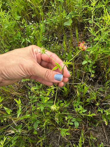
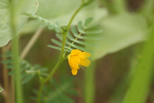
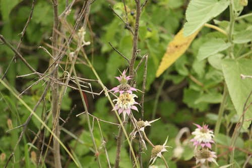
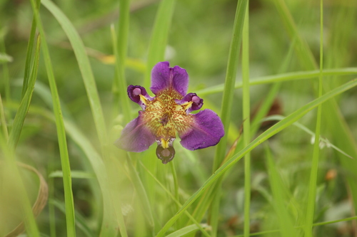
Research-grade observations from iNaturalist (within ~15 mi).
Nearest stream gauge
Live readings from USGS NWIS · measured 2026-06-08 21:30 UTC.
Events
Gallery
Geotagged photos within ~6 miles of Los Angeles, from Wikimedia Commons contributors.


Photos via Wikimedia Commons — see each image page for license & attribution.
Sources
- • Open-Meteo (ERA5 reanalysis)
- • NOAA National Weather Service
- • Wikimedia Commons
- • Wikidata
- • Open-Meteo Air Quality (CAMS)
- • USGS Earthquake Catalog (global feed)
- • USGS NWIS (water data)
- • GBIF (Global Biodiversity Information Facility)
- • iNaturalist
- • CDC PLACES
- • Open-Elevation
- • Open-Meteo / sunrise-sunset.org
- • Wikipedia Pageviews API
- • Open Library