Browse / United States / Texas / Midland
Midland
Texascity

Midland
Total population
143,637
Median home value
$324,300
Bachelor's+
Median income
$82,547
Founded
1881
Demographic figures from US Census Bureau · ACS 5-year estimates. Overview below cites Wikipedia and may reference a different year.
- Wind Advisory · ModerateWind Advisory issued October 16 at 10:07AM MDT until October 16 at 6:00PM MDT by NWS Midland/Odessa TX
Source: NOAA National Weather Service.
City facts
Sister cities
Facts from Wikidata (CC0).
Overview
Midland is a city in the U.S. state of Texas. It is the county seat of Midland County in West Texas, with small portions extending into Martin County. The population was 132,524 at the 2020 census. Located in the Permian Basin, Midland is a major center for American oil and natural gas production.
Read more on WikipediaHistory & geography
History
Midland was established in June 1881 as Midway Station, on the Texas and Pacific Railway. Its name came from its central location between Fort Worth and El Paso, but because there were already other towns in Texas named Midway, the city changed its name to Midland in January 1884 when it was granted its first post office. Midland became the county seat of Midland County in March 1885, when that county was first organized and separated from Tom Green County. By 1890, it had become one of the state's most important cattle shipping centers. The city was incorporated in 1906, and by 1910 established its first fire department, along with a new water system. Midland was changed significantly by the discovery of oil in the Permian Basin in 1923 when the Santa Rita No. 1 well began producing in Reagan County, followed shortly by the Yates Oil Field in Iraan. Midland became the West Texas oil fields' administrative center. During World War II, it had the nation's largest bombardier training base. A second boom began after the war, with the discovery and development of the Spraberry Trend, still the country's third-largest oil field by total reserves. Yet another boom period took place during the 1970s, with the high oil prices associated with the oil and energy crises. Today, the Permian Basin produces one fifth of the nation's total petroleum and natural gas output. Midland's economy still relies heavily on petroleum, but the city also became a regional telecommunications and distribution center. By August 2006, a busy period of crude oil production had caused a significant workforce deficit. According to the Midland Chamber of Commerce, at that time there were almost 2,000 more jobs available in the Permian Basin than there were workers to fill them. In 1959, John Howard…
Geography
Midland is in the Permian Basin in the West Texas plains. According to the United States Census Bureau, the city has an area of 71.5 square miles (185.2 km), of which 71.3 square miles (184.7 km) is land and 0.2 square mile (0.5 km) (0.28%) is water. Midland has a hot semi-arid climate (Köppen BSh) bordering upon a hot arid climate (BWh) and a cool semi-arid climate (BSk) with hot to sweltering summers and cool to mild winters. It occasionally has cold waves during the winter, but rarely sees extended periods of below-freezing cold. Midland receives approximately of precipitation per year, much of which falls in the summer. Highs exceed on 115 afternoons per year and on 24 afternoons while lows fall to or below on 58 mornings. }} ;Notes: Nicknamed "The Tall City", Midland has long been known for its downtown skyline. Most of downtown Midland's major office buildings were built during a time of major Permian Basin oil and gas discoveries. The surge in energy prices in the mid-1980s sparked a building boom downtown. For many years, the 22-story Wilco Building in downtown was the tallest building between Fort Worth and Phoenix. Today, the tallest is the 24-story Bank of America Building, at . Four buildings over tall were planned in the 1980s, including one designed by architect I.M. Pei. The great oil bust of the mid-1980s killed any plans for future skyscrapers. A private development group was planning to build Energy Tower at City Center, which was proposed to be 870 feet tall, with 59 floors (six floors underground and 53 above). If it had been built, it would have been Texas's sixth-tallest building. File:Bank of America Building, Midland, Texas.jpg|Midland's tallest building, the Bank of America Building File:MIDLAND TOWER,…
Excerpted from the corresponding Wikipedia article (CC BY-SA).
Demographics & economy
Race & ethnicity
Source: US Census Bureau — American Community Survey, 5-year estimates.
Geography
Coordinates & boundaries from the US Census TIGER/Line shapefiles.
Climate
Current forecast
Forecast for Midland, TX from NOAA NWS API.
Air quality
Industrial & pollution facilities
Natural hazard risk
Health (adults)
Walkability
Amenities nearby
Wildlife & biodiversity
Most-observed species
- White-winged DoveZenaida asiatica (Linnaeus, 1758) · Aves4,462
- House SparrowPasser domesticus (Linnaeus, 1758) · Aves3,682
- Mourning DoveZenaida macroura (Linnaeus, 1758) · Aves3,466
- Great-tailed GrackleQuiscalus mexicanus (Gmelin, 1788) · Aves3,262
- House FinchHaemorhous mexicanus (P.L.Statius Müller, 1776) · Aves3,198
- Northern MockingbirdMimus polyglottos (Linnaeus, 1758) · Aves2,729
- Northern CardinalCardinalis cardinalis (Linnaeus, 1758) · Aves2,304
- Blue JayCyanocitta cristata (Linnaeus, 1758) · Aves2,245
Citizen-science & research observations from the Global Biodiversity Information Facility (GBIF).
Schools
Earthquake history
Most recent
- M 2.7 — 2026-10-0521 km NNW of Midland, Texas
- M 3.1 — 2026-09-3020 km WNW of Stanton, Texas
- M 2.8 — 2026-09-2432 km SW of Garden City, Texas
- M 3.2 — 2026-09-2432 km SW of Garden City, Texas
- M 2.7 — 2026-09-2431 km SW of Garden City, Texas
- M 2.7 — 2026-09-2430 km SW of Garden City, Texas
Events from the USGS Earthquake Catalog (global) (FDSN Event Web Service).
Photos
Sights & places nearby
Notable people from here


People born within ~10 km, from Wikidata (CC0). Click any name for their Wikipedia article.
Geography & sun
Elevation, sunrise/sunset and daylight from Open-Meteo. Solar climatology from NASA POWER.
Nearby airports
Public attention
Pageview totals from the Wikimedia Pageviews API.
Books about Midland


Search results from Open Library.
Recent natural events nearby
- Prescribed Fire RX Tom Green 7105, Tom Green, TexasWildfires · 2026-08-20 · 114 mi
- Prescribed Fire RX Tom Green 6687, Tom Green, TexasWildfires · 2026-08-10 · 114 mi
- Wildfire Rustler, Motley, TexasWildfires · 2026-08-23 · 141 mi
- Wildfire CATO 2, Chaves, New MexicoWildfires · 2026-08-15 · 148 mi
- Wildfire West Fork, Sutton, TexasWildfires · 2026-08-28 · 163 mi
- Wildfire McKee Draw, Edwards, TexasWildfires · 2026-08-29 · 166 mi
- Wildfire Harris, Throckmorton, TexasWildfires · 2026-08-31 · 191 mi
- Wildfire Bufford Creek, Stephens, TexasWildfires · 2026-08-10 · 199 mi
Wildfires, storms and other events from NASA EONET (last 12 months, within 250 mi).
Ground air-quality sensors
Recently spotted species
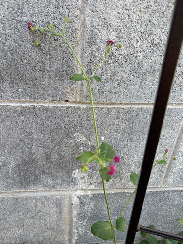
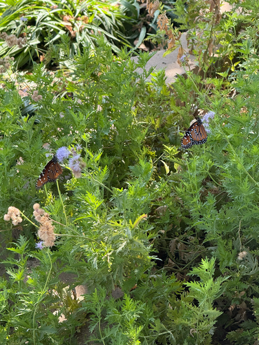
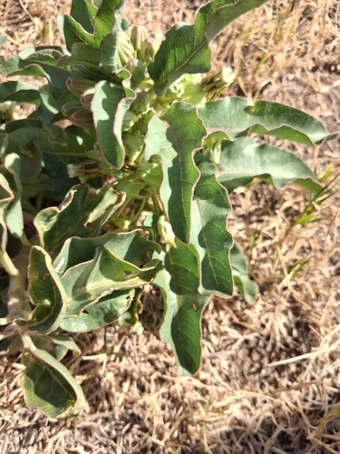
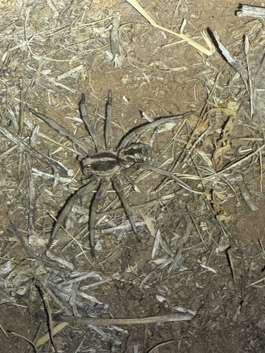
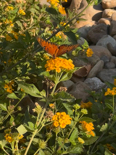
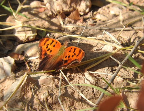
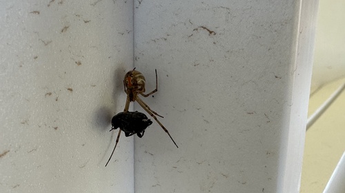
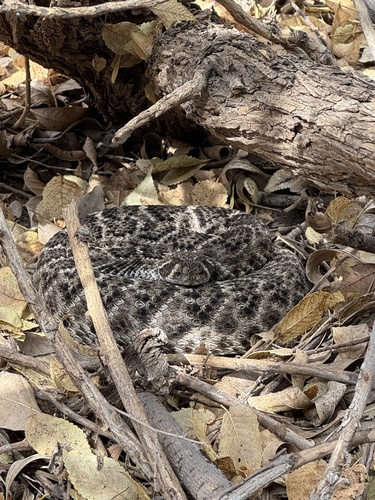
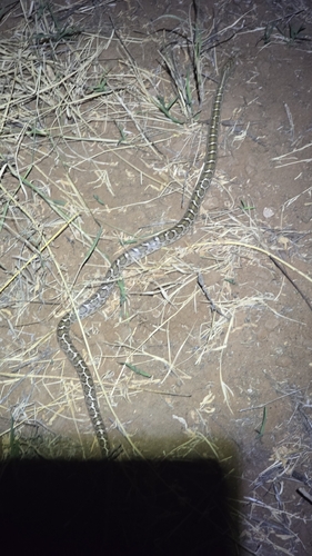
Research-grade observations from iNaturalist (within ~15 mi).
Nearest stream gauge
Events
Gallery
Sources
- • Wikipedia
- • US Census Bureau (ACS 5-year estimates)
- • NOAA National Weather Service
- • Wikidata
- • USGS Earthquake Catalog (global feed)
- • GBIF (Global Biodiversity Information Facility)
- • iNaturalist
- • Open-Meteo / sunrise-sunset.org
- • Wikipedia Pageviews API
- • Open Library
- • NASA EONET