Browse / United States / Texas / New Braunfels
New Braunfels
Texascity

New Braunfels
Total population
116,465
Median home value
$364,500
Bachelor's+
Median income
$90,284
Founded
1845
Air quality index
Demographic figures from US Census Bureau · ACS 5-year estimates. Overview below cites Wikipedia and may reference a different year.
- Wind Advisory · ModerateWind Advisory issued October 15 at 11:50PM CDT until October 16 at 7:00PM CDT by NWS Austin/San Antonio TX
Source: NOAA National Weather Service.
City facts
Facts from Wikidata (CC0).
Overview
New Braunfels is a city in Comal and Guadalupe counties in the U.S. state of Texas. It is the county seat of Comal County. The city covers 44.9 square miles (116 km2) and had a population of 90,403 as of the 2020 Census. A suburb just north of San Antonio, and part of the Greater San Antonio metropolitan area, it was the third-fastest-growing city in the United States from 2010 to 2020. As of 2025, the U.S. Census Bureau estimates its population at 122,492.
Read more on WikipediaHistory & geography
History
New Braunfels was established in 1845 by Prince Carl of Solms-Braunfels, Commissioner General of the Mainzer Adelsverein, also known as the Noblemen's Society. Prince Carl named the settlement in honor of his home of Solms-Braunfels, Germany. The Adelsverein organized hundreds of people in Germany to settle in Texas. Immigrants from Germany began arriving at Galveston in July 1844. Most then traveled by ship to Indianola in December 1844, and began the overland journey to the Fisher-Miller land grant purchased by Prince Carl. At the urging of John Coffee Hays, who realized the settlers would not have time to build homes and plant crops further inland before winter, and as the German settlers were traveling inland along the Guadalupe River, they stopped near the Comal Springs. Prince Carl bought two leagues of land from Rafael Garza and Maria Antonio Veramendi Garza for $1,111.00. The land was located northeast of San Antonio on El Camino Real de los Tejas and had the strong freshwater Comal Springs, known as Las Fontanas, when the Germans arrived. It was about halfway between Indianola and the lower portions of the Fisher-Miller land grant. The first settlers forded the Guadalupe River on Good Friday, March 21, 1845, near the present-day Faust Street bridge. As the spring of 1845 progressed, the settlers built the "Zinkenburg", a fort named for Adelsverein civil engineer Nicolaus Zink, divided the land, and began building homes and planting crops. Prince Carl would also lay the cornerstone for the Sophienburg, a permanent fort and center for the immigrant association. In 1844, Prince Carl was so disillusioned with the logistics of the colonization that he asked the Verein to remove him as commissioner-general and appoint a successor. When John O. Meusebach arrived,…
Geography
New Braunfels is located in southeastern Comal County. The city is northeast of Downtown San Antonio, southwest of San Marcos, and southwest of Austin. According to the United States Census Bureau, New Braunfels has a total area of , of which , or 0.91%, is covered by water. The city is situated along the Balcones Fault, where the Texas Hill Country meets rolling prairie land. Along the fault in the city, a string of artesian springs known as Comal Springs gives rise to the Comal River, which is known as one of the shortest rivers in the world, as it winds through the city before meeting the Guadalupe River. Gruene Historical District is located within the city limits of New Braunfels. Founded by the sons of settlers Ernst and Antoinette Gruene, the community had a bank, post office, school, general store, lumberyard, gristmill, dance hall, and cotton gin. It also had access to two railways for shipping cotton bales. Its most famous attribute was the dance hall, a family activity in those days. Due to the failure of the cotton crop from boll weevils, and the failure of the banks after 1929, commercial activity slowed to a crawl. This village is now a Nationally Registered Historic District where one can dine in the ruins of the original gristmill or enjoy live music at Gruene Hall. New Braunfels experiences a humid subtropical climate, with hot, humid summers and generally mild winters. Temperatures range from 83 °F (27.8 °C) in the summer to 49 °F (9.4 °C) during winter. The city falls in USDA hardiness zones 8b (15 °F to 20 °F) and 9a (20 °F to 25 °F). New Braunfels and San Antonio, to the southwest, are some of the most flood-prone regions in North America. The October 1998 Central Texas floods were among the…
Excerpted from the corresponding Wikipedia article (CC BY-SA).
Demographics & economy
Race & ethnicity
Source: US Census Bureau — American Community Survey, 5-year estimates.
Geography
Coordinates & boundaries from the US Census TIGER/Line shapefiles.
Climate
Current forecast
Forecast for New Braunfels, TX from NOAA NWS API.
Air quality
Current readings from Open-Meteo Air Quality API (Copernicus CAMS European reanalysis).
Industrial & pollution facilities
Natural hazard risk
Health (adults)
Age-adjusted prevalence estimates from CDC PLACES (latest release).
Walkability
Amenities nearby
Wildlife & biodiversity
Most-observed species
- Northern CardinalCardinalis cardinalis (Linnaeus, 1758) · Aves15,354
- White-winged DoveZenaida asiatica (Linnaeus, 1758) · Aves11,372
- Black-crested TitmouseBaeolophus atricristatus (Cassin, 1850) · Aves10,088
- Carolina ChickadeePoecile carolinensis (Audubon, 1834) · Aves9,895
- Carolina WrenThryothorus ludovicianus (Latham, 1790) · Aves9,719
- Northern MockingbirdMimus polyglottos (Linnaeus, 1758) · Aves9,496
- House FinchHaemorhous mexicanus (P.L.Statius Müller, 1776) · Aves8,868
- Black VultureCoragyps atratus (Bechstein, 1793) · Aves8,359
Citizen-science & research observations from the Global Biodiversity Information Facility (GBIF).
Schools
Largest nearby schools
- CANYON H SHigh · NEW BRAUNFELS · 2,348 students · 15.8:1 ratio
- NEW BRAUNFELS H SHigh · NEW BRAUNFELS · 1,926 students · 18.5:1 ratio
- CANYON MIDDLEMiddle · NEW BRAUNFELS · 1,175 students · 18.4:1 ratio
- OAKRUN MIDDLEMiddle · NEW BRAUNFELS · 930 students · 15.5:1 ratio
- FREIHEIT ELElementary · NEW BRAUNFELS · 910 students · 15.7:1 ratio
- VERAMENDI ELElementary · NEW BRAUNFELS · 910 students · 17.2:1 ratio
- DANVILLE MIDDLEMiddle · NEW BRAUNFELS · 907 students · 16.2:1 ratio
- MORNINGSIDE ELElementary · NEW BRAUNFELS · 810 students · 15.6:1 ratio
Public K–12 schools within ~10 mi from Urban Institute Education Data Portal (NCES Common Core of Data, 2022).
Earthquake history
Most recent
- M 2.7 — 2026-10-068 km ESE of Smiley, Texas
- M 2.8 — 2026-09-1914 km SSW of Smiley, Texas
- M 2.6 — 2026-09-0312 km SW of Falls City, Texas
- M 2.8 — 2026-09-0112 km SW of Falls City, Texas
- M 3.6 — 2026-09-0112 km SW of Falls City, Texas
- M 2.9 — 2026-05-2619 km S of Nixon, Texas
Events from the USGS Earthquake Catalog (global) (FDSN Event Web Service).
Photos
Sights & places nearby
Notable people from here


People born within ~10 km, from Wikidata (CC0). Click any name for their Wikipedia article.
Nearby places in Texas
- McQueeney7.9 mi away
- Marion8.9 mi away
- Geronimo9 mi away · pop. 1,507
- Cibolo10.8 mi away · pop. 35,109
- Live Oak16.8 mi away
- Martindale19.4 mi away
- Kirby23.1 mi away · pop. 8,117
- China Grove25.3 mi away · pop. 1,215
- Luling28.1 mi away
- Lockhart28.7 mi away
- Fair Oaks Ranch31.5 mi away · pop. 10,728
- Creedmoor34.4 mi away · pop. 518
Geography & sun
Elevation, sunrise/sunset and daylight from Open-Meteo. Solar climatology from NASA POWER.
Nearby airports
Public attention
Pageview totals from the Wikimedia Pageviews API.
Books about New Braunfels

Search results from Open Library.
Recent natural events nearby
- Wildfire Kurk, San Saba, TexasWildfires · 2026-09-08 · 99 mi
- Wildfire Rio Escondido, Hamilton, TexasWildfires · 2026-08-24 · 124 mi
- Wildfire West Fork, Sutton, TexasWildfires · 2026-08-28 · 130 mi
- Wildfire Clark, Edwards, TexasWildfires · 2026-09-16 · 135 mi
- Wildfire McKee Draw, Edwards, TexasWildfires · 2026-08-29 · 136 mi
- Wildfire Hydra, Bosque, TexasWildfires · 2026-09-14 · 151 mi
- Wildfire Rafter 4B, Schleicher, TexasWildfires · 2026-09-26 · 160 mi
- Wildfire Dry River, Sutton, TexasWildfires · 2026-09-15 · 168 mi
Wildfires, storms and other events from NASA EONET (last 12 months, within 250 mi).
Ground air-quality sensors
Recently spotted species
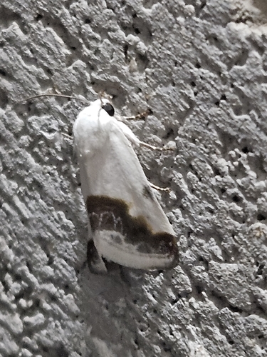
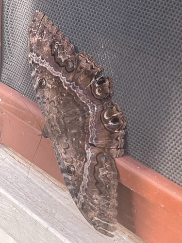
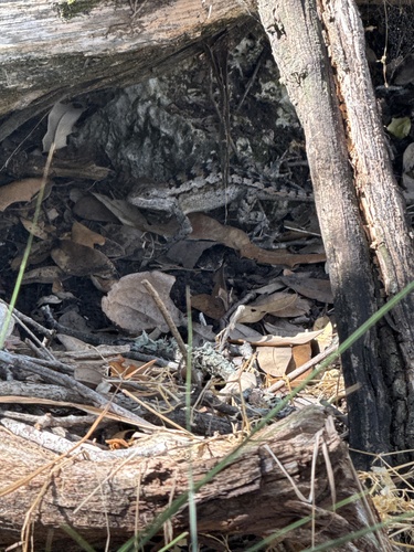
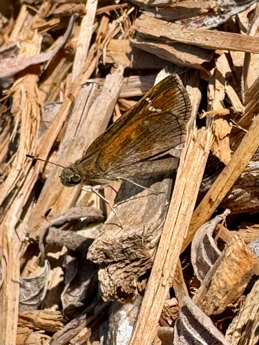
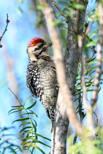
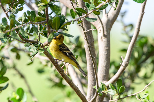
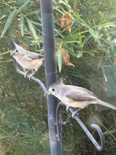
Research-grade observations from iNaturalist (within ~15 mi).
Nearest stream gauge
Live readings from USGS NWIS · measured 2026-10-16 07:00 UTC.
Events
Gallery
Sources
- • Wikipedia
- • US Census Bureau (ACS 5-year estimates)
- • NOAA National Weather Service
- • Wikidata
- • Open-Meteo Air Quality (CAMS)
- • USGS Earthquake Catalog (global feed)
- • USGS NWIS (water data)
- • NCES via Urban Institute Education Data Portal
- • GBIF (Global Biodiversity Information Facility)
- • iNaturalist
- • CDC PLACES
- • Open-Meteo / sunrise-sunset.org
- • Wikipedia Pageviews API
- • Open Library
- • NASA EONET