Browse / United States / Texas / North Richland Hills
North Richland Hills
Texascity

North Richland Hills
Total population
71,428
Median home value
$398,500
Bachelor's+
Median income
$97,586
Founded
1953
Air quality index
Demographic figures from US Census Bureau · ACS 5-year estimates. Overview below cites Wikipedia and may reference a different year.
- Air Quality Alert · UnknownAir Quality Alert issued September 16 at 3:01PM CDT by NWS Fort Worth TX
Source: NOAA National Weather Service.
City facts
Facts from Wikidata (CC0).
Overview
North Richland Hills, commonly known as NRH, is a city in the U.S. state of Texas, located in Tarrant County. It is a mid-to-high end suburb of Fort Worth and forms part of the Mid-Cities region of the Dallas-Fort Worth Metroplex. The population was 69,917 at the 2020 census, making it the third largest city in Tarrant County.
Read more on WikipediaHistory & geography
History
The community began when W.S. Peters agreed to bring 600 families into the area within a three-year period as part of a land grant. Families began arriving in the summer of 1848. In 1849, Tarrant County was established and named for General Edward H. Tarrant. The community of Birdville (adjacent to what is now the southwest boundary of North Richland Hills) was named the first county seat. The area remained a rural farming and ranching community for more than 100 years. In 1952, Clarence Jones began to subdivide his dairy farm into a suburban addition in the area that is now Cummings Drive. In 1953, the North Richland Hills Civic League sought to have the area annexed to Richland Hills, then voted to form their own city when annexation was denied. An election was held, and the of the Jones Farm, with a population of 500, became officially incorporated as the City of North Richland Hills. The first section of streets in North Richland Hills was named for the local families. The second section, which was added in 1954, was named for automobiles. There were 188 homes in the first part of the subdivision, which was restricted to brick and masonry construction. By 1957, the North Richland Hills' boundary was within of Smithfield, and by 1960, Smithfield had been annexed into North Richland Hills. In 1960, the population of North Richland Hills was beginning to rise at 8,662 residents, with that number more than doubling to 16,514 by 1970. The city's population continued to grow at a rapid pace, with the 1980 census at 30,592, and the 1990 census reflecting 45,895. In 2000, the population was at 55,635, and rise to 63,343 at the 2010 census. In 2020, the population was at 69,917.
Geography
According to the United States Census Bureau, the city has a total area of , of which is land, and , or 0.24%, is water.
Excerpted from the corresponding Wikipedia article (CC BY-SA).
Demographics & economy
Race & ethnicity
Source: US Census Bureau — American Community Survey, 5-year estimates.
Geography
Coordinates & boundaries from the US Census TIGER/Line shapefiles.
Climate
Current forecast
Forecast for North Richland Hills, TX from NOAA NWS API.
Air quality
Current readings from Open-Meteo Air Quality API (Copernicus CAMS European reanalysis).
Industrial & pollution facilities
Natural hazard risk
Health (adults)
Walkability
Amenities nearby
Wildlife & biodiversity
Schools
Earthquake history
Most recent
- M 3.1 — 2024-05-017 km SSW of Mansfield, Texas
- M 3.2 — 2024-05-017 km S of Mansfield, Texas
- M 3.2 — 2019-10-018 km SSW of Mansfield, Texas
- M 2.5 — 2019-07-084 km SSE of Rendon, Texas
- M 2.7 — 2018-12-217 km W of Chico, Texas
- M 3.4 — 2018-05-198 km NW of Venus, Texas
Events from the USGS Earthquake Catalog (global) (FDSN Event Web Service).
Photos
Sights & places nearby
Notable people from here


People born within ~10 km, from Wikidata (CC0). Click any name for their Wikipedia article.
Nearby places in Texas
- Colleyville4.6 mi away · pop. 26,057
- Bedford5 mi away · pop. 49,928
- Blue Mound6.9 mi away
- Dalworthington Gardens12.6 mi away
- Coppell15 mi away · pop. 42,983
- Double Oak15.4 mi away
- Edgecliff Village15.8 mi away
- Bartonville16 mi away
- Corral City16.5 mi away
- Copper Canyon17.8 mi away
- Azle18.7 mi away
- DISH19.2 mi away
Geography & sun
Elevation, sunrise/sunset and daylight from Open-Meteo. Solar climatology from NASA POWER.
Nearby airports
Public attention
Pageview totals from the Wikimedia Pageviews API.
Books about North Richland Hills

Search results from Open Library.
Recent natural events nearby
- Wildfire Ross, Palo Pinto, TexasWildfires · 2026-08-24 · 66 mi
- Wildfire Hydra, Bosque, TexasWildfires · 2026-09-14 · 74 mi
- Wildfire Bufford Creek, Stephens, TexasWildfires · 2026-08-10 · 93 mi
- Wildfire Lobo, Eastland, TexasWildfires · 2026-09-15 · 104 mi
- Wildfire Rio Escondido, Hamilton, TexasWildfires · 2026-08-24 · 108 mi
- Wildfire PINTO, Stephens, OklahomaWildfires · 2026-09-08 · 109 mi
- Wildfire Harris, Throckmorton, TexasWildfires · 2026-08-31 · 109 mi
- Wildfire Atoka Lake, Atoka, OklahomaWildfires · 2026-09-14 · 125 mi
Wildfires, storms and other events from NASA EONET (last 12 months, within 250 mi).
Ground air-quality sensors
Recently spotted species
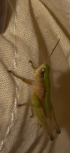
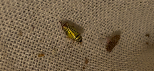
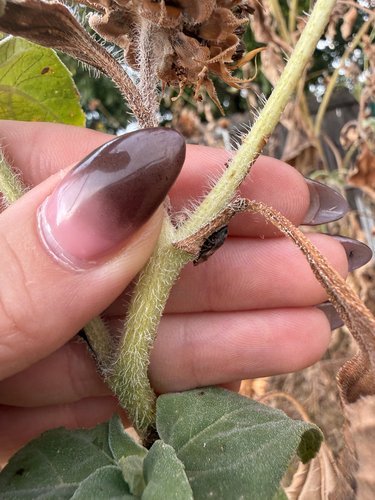
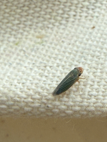

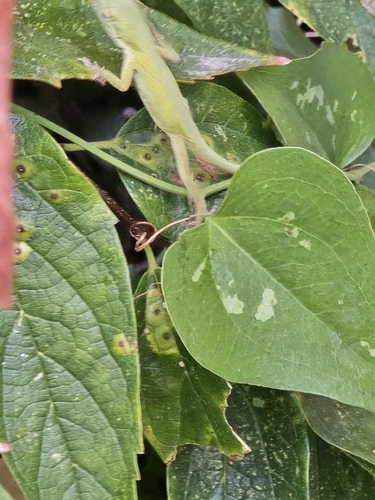
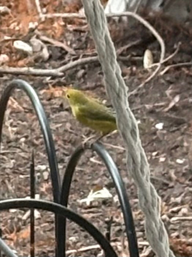
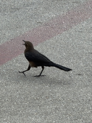
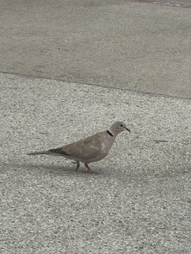
Research-grade observations from iNaturalist (within ~15 mi).
Nearest stream gauge
Live readings from USGS NWIS · measured 2026-09-21 00:15 UTC.
Events
Gallery
Sources
- • Wikipedia
- • US Census Bureau (ACS 5-year estimates)
- • NOAA National Weather Service
- • Wikidata
- • Open-Meteo Air Quality (CAMS)
- • USGS Earthquake Catalog (global feed)
- • USGS NWIS (water data)
- • iNaturalist
- • Open-Meteo / sunrise-sunset.org
- • Wikipedia Pageviews API
- • Open Library
- • NASA EONET