Browse / United States / Texas / San Marcos
San Marcos
Texascity

San Marcos
Total population
70,897
Median home value
$310,400
Bachelor's+
Median income
$51,281
Demographic figures from US Census Bureau · ACS 5-year estimates. Overview below cites Wikipedia and may reference a different year.
- Wind Advisory · ModerateWind Advisory issued October 16 at 10:26AM CDT until October 16 at 7:00PM CDT by NWS Austin/San Antonio TX
Source: NOAA National Weather Service.
City facts
Overview
San Marcos is a city in and the county seat of Hays County, Texas, United States. The city is mostly a part of the Greater Austin metropolitan area. San Marcos's limits extend into Caldwell and Guadalupe Counties, as well. The latter is part of the Greater San Antonio Metropolitan Area. San Marcos is on the Interstate 35 corridor between Austin and San Antonio. Its population was 44,894 at the 2010 census and 67,553 at the 2020 census. Founded on the banks of the San Marcos River, the area is thought to be among the oldest continuously inhabited sites in the Americas. San Marcos is home to Texas State University and the Meadows Center for Water and the Environment.
Read more on WikipediaHistory & geography
History
Archeologists have found evidence at the San Marcos River associated with the Clovis culture, which suggests that the river has been the site of human habitation for more than 10,000 years. The San Marcos Springs are the third-largest collection of springs in Texas. Never in recorded history has the river run dry. In 1689, Spaniard Alonso de León led an expedition from Mexico to explore Texas and establish missions and presidios in the region. De León's party helped blaze the Camino Real (later known as the Old San Antonio Road), which followed present-day Hunter Road, Hopkins Street, and Aquarena Springs Drive (the route later shifted four miles to the south; it is now followed by County Road 266, known locally as Old Bastrop Highway). De León's party reached the river on April 25, the feast day of St. Mark the Evangelist; the river was thus named the San Marcos. In 1803, after the Louisiana purchase, the Spanish government in Mexico became concerned about American citizens moving into Texas. Officials decided to establish more Spanish settlements between San Antonio de Béxar and Nacogdoches in an effort to secure Spanish presence in the area. The governor of the province of Texas, Manuel Antonio Cordero y Bustamante, approached his friend Felipe Roque de la Portilla to organize and oversee the venture. In 1807, after extracting promises from Cordero that he would receive a substantial land grant and that the government would assist the settlers financially, Portilla headed for Texas with a small group of settlers. The exact number has been disputed; some suggest that only 10 persons were in the original group, while other sources say the number was as high as 52. Also, some conflict exists in records as to whether Portilla's family was in the original group or…
Geography
San Marcos is in Central Texas. It is southwest of Austin and northeast of San Antonio. According to the United States Census Bureau, in 2010, it had a total area of , of which , or 0.44%, was covered by water.
Excerpted from the corresponding Wikipedia article (CC BY-SA).
Demographics & economy
Race & ethnicity
Source: US Census Bureau — American Community Survey, 5-year estimates.
Geography
Coordinates & boundaries from the US Census TIGER/Line shapefiles.
Climate
Current forecast
Forecast for San Marcos, TX from NOAA NWS API.
Air quality
Industrial & pollution facilities
Natural hazard risk
Health (adults)
Age-adjusted prevalence estimates from CDC PLACES (latest release).
Walkability
Amenities nearby
Wildlife & biodiversity
Most-observed species
- Northern CardinalCardinalis cardinalis (Linnaeus, 1758) · Aves9,702
- Northern MockingbirdMimus polyglottos (Linnaeus, 1758) · Aves7,281
- Carolina WrenThryothorus ludovicianus (Latham, 1790) · Aves6,834
- Black VultureCoragyps atratus (Bechstein, 1793) · Aves6,337
- Carolina ChickadeePoecile carolinensis (Audubon, 1834) · Aves5,911
- White-winged DoveZenaida asiatica (Linnaeus, 1758) · Aves5,846
- Mourning DoveZenaida macroura (Linnaeus, 1758) · Aves5,784
- Turkey VultureCathartes aura (Linnaeus, 1758) · Aves4,898
Citizen-science & research observations from the Global Biodiversity Information Facility (GBIF).
Schools
Largest nearby schools
- SAN MARCOS H SHigh · SAN MARCOS · 2,536 students · 15.6:1 ratio
- MILLER MIDDLEMiddle · SAN MARCOS · 986 students · 17.6:1 ratio
- GOODNIGHT MIDDLEMiddle · SAN MARCOS · 866 students · 14:1 ratio
- LAURA B WALLACE MIDDLEMiddle · KYLE · 789 students · 14.9:1 ratio
- D J RED SIMON MIDDLEMiddle · KYLE · 733 students · 13.6:1 ratio
- BLANCO VISTA ELElementary · SAN MARCOS · 731 students · 15.6:1 ratio
- IDEA KYLE ACADEMYElementary · KYLE · 684 students · 24.4:1 ratio
- TOBIAS ELElementary · KYLE · 683 students · 14.5:1 ratio
Public K–12 schools within ~10 mi from Urban Institute Education Data Portal (NCES Common Core of Data, 2022).
Earthquake history
Most recent
- M 2.7 — 2026-10-068 km ESE of Smiley, Texas
- M 2.8 — 2026-09-1914 km SSW of Smiley, Texas
- M 2.9 — 2026-05-2619 km S of Nixon, Texas
- M 2.5 — 2026-03-3013 km SSE of Gonzales, Texas
- M 2.6 — 2026-02-252 km NNE of Falls City, Texas
- M 3 — 2026-02-232 km ESE of Falls City, Texas
Events from the USGS Earthquake Catalog (global) (FDSN Event Web Service).
Photos
Sights & places nearby
Notable people from here


People born within ~10 km, from Wikidata (CC0). Click any name for their Wikipedia article.
Nearby places in Texas
Geography & sun
Elevation, sunrise/sunset and daylight from Open-Meteo. Solar climatology from NASA POWER.
Nearby airports
Public attention
Pageview totals from the Wikimedia Pageviews API.
Books about San Marcos

Search results from Open Library.
Recent natural events nearby
- Wildfire Kurk, San Saba, TexasWildfires · 2026-09-08 · 93 mi
- Wildfire Rio Escondido, Hamilton, TexasWildfires · 2026-08-24 · 113 mi
- Wildfire West Fork, Sutton, TexasWildfires · 2026-08-28 · 137 mi
- Wildfire Hydra, Bosque, TexasWildfires · 2026-09-14 · 138 mi
- Wildfire Clark, Edwards, TexasWildfires · 2026-09-16 · 144 mi
- Wildfire McKee Draw, Edwards, TexasWildfires · 2026-08-29 · 144 mi
- Wildfire Rafter 4B, Schleicher, TexasWildfires · 2026-09-26 · 165 mi
- Wildfire Dry River, Sutton, TexasWildfires · 2026-09-15 · 174 mi
Wildfires, storms and other events from NASA EONET (last 12 months, within 250 mi).
Ground air-quality sensors
Recently spotted species
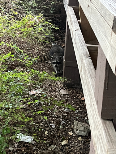
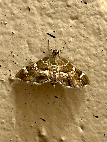
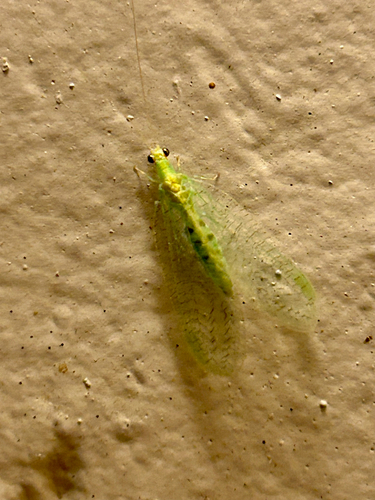
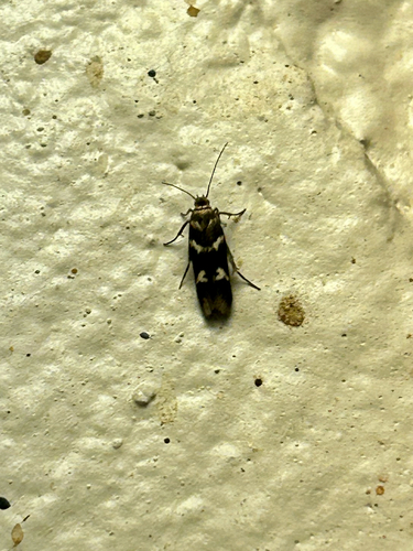
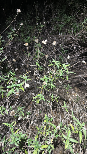
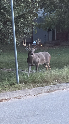
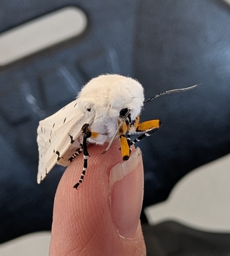
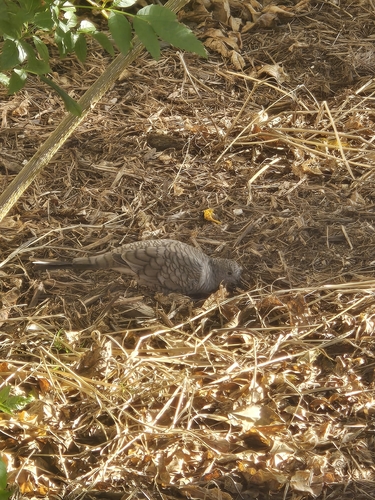
Research-grade observations from iNaturalist (within ~15 mi).
Nearest stream gauge
Live readings from USGS NWIS · measured 2026-10-16 09:45 UTC.
Events
Gallery
Sources
- • Wikipedia
- • US Census Bureau (ACS 5-year estimates)
- • NOAA National Weather Service
- • Wikidata
- • USGS Earthquake Catalog (global feed)
- • USGS NWIS (water data)
- • NCES via Urban Institute Education Data Portal
- • GBIF (Global Biodiversity Information Facility)
- • iNaturalist
- • CDC PLACES
- • Open-Meteo / sunrise-sunset.org
- • Wikipedia Pageviews API
- • Open Library
- • NASA EONET