Browse / United States / Texas / Temple
Temple
Texascity

Temple
Total population
96,268
Median home value
$268,200
Bachelor's+
Median income
$71,931
Founded
1881
Air quality index
Demographic figures from US Census Bureau · ACS 5-year estimates. Overview below cites Wikipedia and may reference a different year.
- Heat Advisory · ModerateHeat Advisory issued September 9 at 1:20PM CDT until September 9 at 8:00PM CDT by NWS Fort Worth TX
Source: NOAA National Weather Service.
City facts
Facts from Wikidata (CC0).
Overview
Temple is a city in Bell County, Texas, United States. As of 2020, the city has a population of 82,073 according to the U.S. census. Temple lies in the region referred to as Central Texas and is a principal city in the Killeen–Temple–Fort Hood metropolitan area, which as of the 2020 Census had a population of 475,367. Located off Interstate 35, Temple is 68 miles (109 km) north of Austin, 34 miles (55 km) south of Waco and 27 miles east of Killeen.
Read more on WikipediaHistory & geography
History
Temple was founded as a railroad town by the Gulf, Colorado and Santa Fe Railroad (GC&SF). The settlement began in 1880 as a GC&SF construction camp called Temple Junction. In January 1881, a post office was established, and the settlement was officially named Temple, after Bernard Moore Temple, the chief civil engineer of the GC&SF. The town was incorporated in 1882. Also in 1882, the Missouri, Kansas and Texas Railway built through the town, and soon after, the GC&SF made Temple a division point. Very shortly after the town was incorporated in 1882, two private schools were founded in the city: the Temple Academy was organized and a public school was established in 1884. In 1893, the annual Temple Stag Party began, growing out of a private Thanksgiving celebration attended by some of the town's leading men. It was held until 1923. The city became home to numerous medical clinics and the Santa Fe Hospital and Scott and White Memorial Hospital; the two hospitals merged in 1983 and now form the Baylor Scott & White Medical Center – Temple. Temple's position as the largest city in Bell County was earned largely on account of its medical facilities and its importance as a major railroad junction. popularly known as the Santa Fe Railroad or simply the Santa Fe. The Santa Fe's Temple depot was the site of the largest Harvey House restaurant in Texas, and the Harvey House organization also operated a dairy and vegetable farm near the city. Harvey Houses provided meals for Santa Fe passengers during stopovers and were also popular with local customers. The chain was famous for its high-quality food and its iconic uniformed all-female "Harvey Girl" waitstaff. The Temple Railroad and Heritage Museum, on the second floor of the Santa Fe Railroad depot at 315 West Avenue B,…
Geography
Temple is located northeast of the center of Bell County. It is the second-largest city in Bell County. It is bordered to the southwest, on the opposite side of the Leon River, by Belton, the county seat. Temple is situated within a relatively short drive of most of the major cities of Texas: 124 mi north to Fort Worth, 130 mi north-northeast to Dallas, 65 mi southwest to Austin, 147 mi southwest to San Antonio, and 168 mi southeast to Houston. The city is located right on Interstate 35, running alongside the Balcones Fault with very varied geography. Towards the east lies the Blackland Prairie region (a rich farming area), and towards the west, the terrain rises with low, rolling, limestone-layered hills at the northeastern tip of the Texas Hill Country. According to the United States Census Bureau, the city has a total area of , of which are land and are covered by water.
Excerpted from the corresponding Wikipedia article (CC BY-SA).
Demographics & economy
Race & ethnicity
Source: US Census Bureau — American Community Survey, 5-year estimates.
Geography
Coordinates & boundaries from the US Census TIGER/Line shapefiles.
Climate
10-year averages from ERA5 reanalysis (Open-Meteo).
Current forecast
Forecast for Temple, TX from NOAA NWS API.
Air quality
Current readings from Open-Meteo Air Quality API (Copernicus CAMS European reanalysis).
Industrial & pollution facilities
Natural hazard risk
Health (adults)
Age-adjusted prevalence estimates from CDC PLACES (latest release).
Walkability
Amenities nearby
Wildlife & biodiversity
Most-observed species
- Northern CardinalCardinalis cardinalis (Linnaeus, 1758) · Aves5,800
- Carolina ChickadeePoecile carolinensis (Audubon, 1834) · Aves4,702
- American CrowCorvus brachyrhynchos C.L.Brehm, 1822 · Aves3,977
- Turkey VultureCathartes aura (Linnaeus, 1758) · Aves3,868
- Carolina WrenThryothorus ludovicianus (Latham, 1790) · Aves3,775
- Northern MockingbirdMimus polyglottos (Linnaeus, 1758) · Aves3,647
- Red-bellied WoodpeckerMelanerpes carolinus (Linnaeus, 1758) · Aves3,401
- Black VultureCoragyps atratus (Bechstein, 1793) · Aves3,261
Citizen-science & research observations from the Global Biodiversity Information Facility (GBIF).
Schools
Largest nearby schools
- TEMPLE H SHigh · TEMPLE · 2,305 students · 12.6:1 ratio
- LAKE BELTON H SHigh · TEMPLE · 2,181 students · 15.6:1 ratio
- BELTON H SHigh · BELTON · 1,941 students · 12.4:1 ratio
- CHISHOLM TRAIL ELElementary · BELTON · 868 students · 14.2:1 ratio
- NORTH BELTON MIDDLEMiddle · TEMPLE · 857 students · 14:1 ratio
- LAKE BELTON MIDDLEMiddle · TEMPLE · 826 students · 14.2:1 ratio
- TARVER ELElementary · TEMPLE · 798 students · 16.3:1 ratio
- THORNTON ELElementary · TEMPLE · 744 students · 16.9:1 ratio
Public K–12 schools within ~10 mi from Urban Institute Education Data Portal (NCES Common Core of Data, 2022).
Earthquake history
Most recent
- M 2.9 — 2015-09-037 km NNE of Leander, Texas
- M 2.7 — 2007-09-1511 km ENE of Milano, Texas
Events from the USGS Earthquake Catalog (global) (FDSN Event Web Service).
Photos
Sights & places nearby
Notable people from here


People born within ~10 km, from Wikidata (CC0). Click any name for their Wikipedia article.
Geography & sun
Elevation, sunrise/sunset and daylight from Open-Meteo. Solar climatology from NASA POWER.
Nearby airports
Public attention
Pageview totals from the Wikimedia Pageviews API.
Books about Temple

Search results from Open Library.
Recent natural events nearby
- Wildfire Rio Escondido, Hamilton, TexasWildfires · 2026-08-24 · 51 mi
- Wildfire Hydra, Bosque, TexasWildfires · 2026-09-14 · 54 mi
- Wildfire Kurk, San Saba, TexasWildfires · 2026-09-08 · 75 mi
- Wildfire Ross, Palo Pinto, TexasWildfires · 2026-08-24 · 127 mi
- Wildfire Lobo, Eastland, TexasWildfires · 2026-09-15 · 129 mi
- Wildfire Bufford Creek, Stephens, TexasWildfires · 2026-08-10 · 144 mi
- Wildfire Harris, Throckmorton, TexasWildfires · 2026-08-31 · 167 mi
- Wildfire West Fork, Sutton, TexasWildfires · 2026-08-28 · 172 mi
Wildfires, storms and other events from NASA EONET (last 12 months, within 250 mi).
Ground air-quality sensors
Recently spotted species
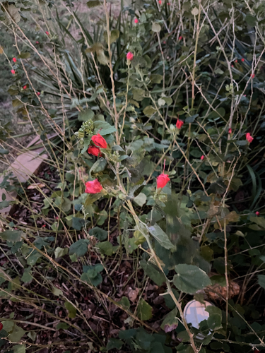
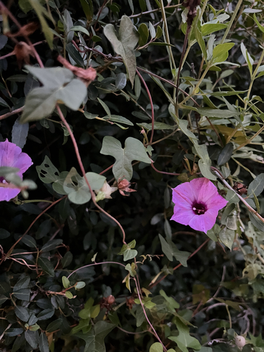
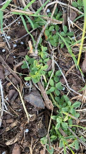
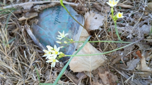
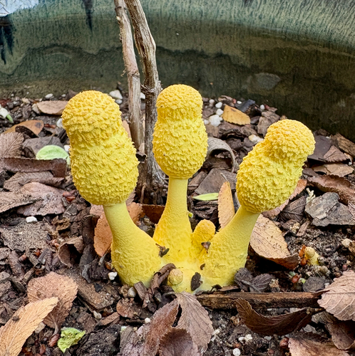
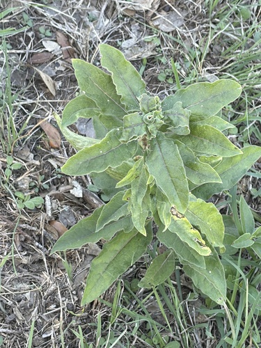
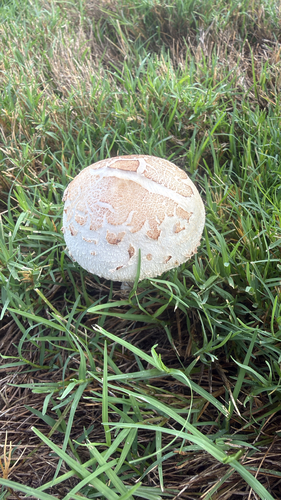
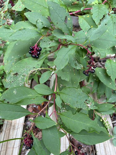
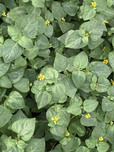
Research-grade observations from iNaturalist (within ~15 mi).
Nearest stream gauge
Live readings from USGS NWIS · measured 2026-10-16 23:00 UTC.
Events
Gallery
Sources
- • Wikipedia
- • US Census Bureau (ACS 5-year estimates)
- • Open-Meteo (ERA5 reanalysis)
- • NOAA National Weather Service
- • Wikidata
- • Open-Meteo Air Quality (CAMS)
- • USGS Earthquake Catalog (global feed)
- • USGS NWIS (water data)
- • NCES via Urban Institute Education Data Portal
- • GBIF (Global Biodiversity Information Facility)
- • iNaturalist
- • CDC PLACES
- • Open-Meteo / sunrise-sunset.org
- • Wikipedia Pageviews API
- • Open Library
- • NASA EONET