Browse / United States / Texas / Waco
Waco
Texascity

Waco
Total population
146,603
Median home value
$256,300
Bachelor's+
Median income
$56,548
Founded
1849
Air quality index
Demographic figures from US Census Bureau · ACS 5-year estimates. Overview below cites Wikipedia and may reference a different year.
- Wind Advisory · ModerateWind Advisory issued October 16 at 12:27AM CDT until October 16 at 7:00PM CDT by NWS Fort Worth TX
Source: NOAA National Weather Service.
City facts
Facts from Wikidata (CC0).
Overview
Waco is a city in and the county seat of McLennan County, Texas, United States. It is situated along the Brazos River and I-35, halfway between Dallas and Austin. The city had a U.S. census estimated 2025 population of 147,788, making it the 24th-most populous city in the state. The Waco metropolitan area consists of McLennan, Falls, and Bosque counties, which had a 2020 population of 295,782. Bosque County was added to the Waco metropolitan area in 2023. The 2025 U.S. census population estimate for the Waco metropolitan area was 308,807 residents.
Read more on WikipediaHistory & geography
History
Indigenous peoples occupied areas along the river for thousands of years. In historic times, the area of present-day Waco was occupied by the Wichita Indian tribe known as the "Waco" (Spanish: Hueco or Huaco). In 1824, Thomas M. Duke was sent to explore the area after violence erupted between the Waco people and the European settlers. His report to Stephen F. Austin, described the Waco village: After further violence, Austin halted an attempt to destroy their village in retaliation. In 1825, he made a treaty with them. In 1830, due to an invasion by the Cherokee, the Waco were eventually pushed out of the region, settling north near present-day Fort Worth. In 1872, they were moved onto a reservation in Oklahoma with other Wichita tribes. In 1902, the Waco received allotments of land and became official US citizens. Neil McLennan settled in an area near the South Bosque River in 1838. Jacob De Cordova bought McLennan's property and hired a former Texas Ranger and surveyor named George B. Erath to inspect the area. In 1849, Erath designed the first block of the city. Property owners wanted to name the city Lamartine, but Erath convinced them to name the area Waco Village, after the Indians who had lived there. In March 1849, Shapley Prince Ross, the father of future Governor Lawrence Sullivan Ross, built the first house in Waco, a double-log cabin, on a bluff overlooking the springs. His daughter Kate was the first settler child born in Waco. Because of this, Ross is considered to have been the founder of Waco, Texas. In 1866, Waco's leading citizens embarked on an ambitious project to build the first bridge to span the wide Brazos River. They formed the Waco Bridge Company to build the brick Waco Suspension Bridge, which was completed in 1870. The company…
Geography
According to the United States Census Bureau, the city has an area of , of which (11.85%) are covered by water. Downtown Waco is relatively small when compared to other larger Texas cities, such as Houston, Dallas, San Antonio, or even Fort Worth, El Paso, or Austin. The 22-story ALICO Building, completed in 1910, is the tallest building in Waco. Waco experiences a humid subtropical climate (Köppen climate classification Cfa), characterized by hot summers and generally mild winters. Some temperatures have been observed in every month of the year. The record low temperature is , set on January 31, 1949; the record high temperature is , set on July 23, 2018.
Excerpted from the corresponding Wikipedia article (CC BY-SA).
Demographics & economy
Race & ethnicity
Source: US Census Bureau — American Community Survey, 5-year estimates.
Geography
Coordinates & boundaries from the US Census TIGER/Line shapefiles.
Climate
Current forecast
Forecast for Waco, TX from NOAA NWS API.
Air quality
Current readings from Open-Meteo Air Quality API (Copernicus CAMS European reanalysis).
Industrial & pollution facilities
Natural hazard risk
Health (adults)
Walkability
Amenities nearby
Wildlife & biodiversity
Most-observed species
- Northern CardinalCardinalis cardinalis (Linnaeus, 1758) · Aves9,783
- Carolina ChickadeePoecile carolinensis (Audubon, 1834) · Aves7,120
- American CrowCorvus brachyrhynchos C.L.Brehm, 1822 · Aves6,144
- Northern MockingbirdMimus polyglottos (Linnaeus, 1758) · Aves5,939
- Red-bellied WoodpeckerMelanerpes carolinus (Linnaeus, 1758) · Aves5,557
- White-winged DoveZenaida asiatica (Linnaeus, 1758) · Aves5,509
- Blue JayCyanocitta cristata (Linnaeus, 1758) · Aves5,362
- Carolina WrenThryothorus ludovicianus (Latham, 1790) · Aves4,812
Citizen-science & research observations from the Global Biodiversity Information Facility (GBIF).
Schools
Earthquake history
Most recent
- M 3.1 — 2026-06-047 km NE of Marquez, Texas
- M 2.8 — 2012-07-106 km NNE of Keene, Texas
- M 2.7 — 2012-07-065 km NE of Keene, Texas
- M 2.5 — 2012-06-26Northern Texas
- M 3.3 — 2012-01-189 km SSE of Godley, Texas
- M 2.7 — 2011-12-071 km S of Venus, Texas
Events from the USGS Earthquake Catalog (global) (FDSN Event Web Service).
Photos
Sights & places nearby
Notable people from here


People born within ~10 km, from Wikidata (CC0). Click any name for their Wikipedia article.
Nearby places in Texas
Geography & sun
Elevation, sunrise/sunset and daylight from Open-Meteo. Solar climatology from NASA POWER.
Nearby airports
Public attention
Pageview totals from the Wikimedia Pageviews API.
Books about Waco





Search results from Open Library.
Recent natural events nearby
- Wildfire Hydra, Bosque, TexasWildfires · 2026-09-14 · 34 mi
- Wildfire Rio Escondido, Hamilton, TexasWildfires · 2026-08-24 · 55 mi
- Wildfire Kurk, San Saba, TexasWildfires · 2026-09-08 · 93 mi
- Wildfire Ross, Palo Pinto, TexasWildfires · 2026-08-24 · 107 mi
- Wildfire Lobo, Eastland, TexasWildfires · 2026-09-15 · 118 mi
- Wildfire Bufford Creek, Stephens, TexasWildfires · 2026-08-10 · 128 mi
- Wildfire Harris, Throckmorton, TexasWildfires · 2026-08-31 · 151 mi
- Wildfire West Fork, Sutton, TexasWildfires · 2026-08-28 · 194 mi
Wildfires, storms and other events from NASA EONET (last 12 months, within 250 mi).
Ground air-quality sensors
Recently spotted species
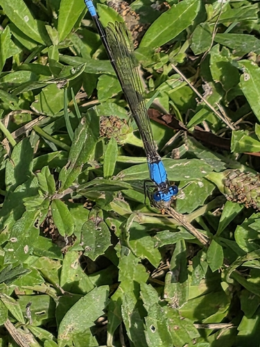
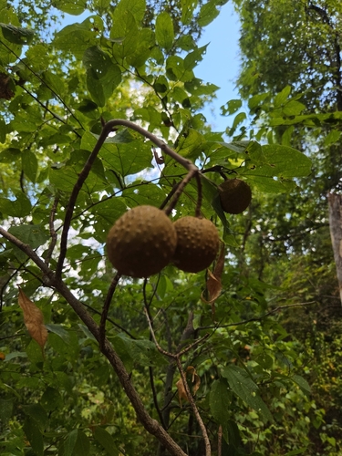
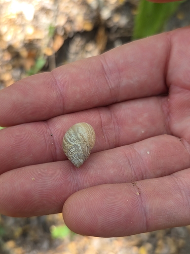
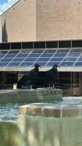
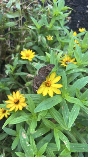
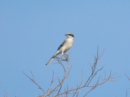
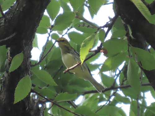
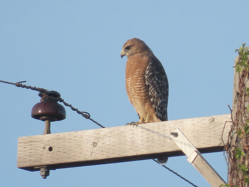
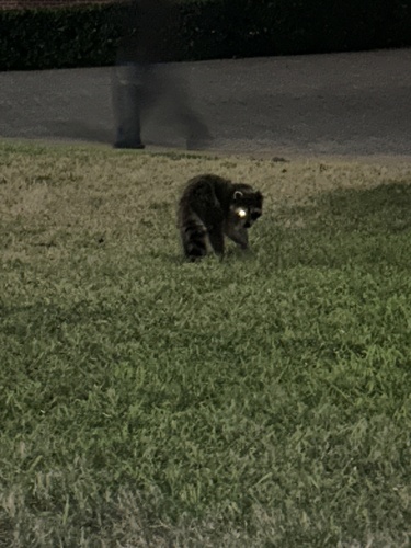
Research-grade observations from iNaturalist (within ~15 mi).
Nearest stream gauge
Live readings from USGS NWIS · measured 2026-10-16 05:45 UTC.
Events
Gallery
Sources
- • Wikipedia
- • US Census Bureau (ACS 5-year estimates)
- • NOAA National Weather Service
- • Wikidata
- • Open-Meteo Air Quality (CAMS)
- • USGS Earthquake Catalog (global feed)
- • USGS NWIS (water data)
- • GBIF (Global Biodiversity Information Facility)
- • iNaturalist
- • Open-Meteo / sunrise-sunset.org
- • Wikipedia Pageviews API
- • Open Library
- • NASA EONET