Browse / United States / Texas / Wichita Falls
Wichita Falls
Texascity

Wichita Falls
Total population
102,373
Median home value
$183,500
Bachelor's+
Median income
$63,835
Demographic figures from US Census Bureau · ACS 5-year estimates. Overview below cites Wikipedia and may reference a different year.
City facts
Overview
Wichita Falls is a city in and the county seat of Wichita County, Texas, United States. It is the principal city of the Wichita Falls metropolitan statistical area, which encompasses all of Archer, Clay, and Wichita Counties. According to the 2020 census, it had a population of 102,316, making it the 43rd-most populous city in Texas. Wichita Falls is home to Midwestern State University, enrolling more than 5,500 students.
Read more on WikipediaHistory & geography
History
From the early 18th century to the mid 19th century, the Wichita Falls area was inhabited by the Wichita and the Comanche people. The Spanish called the lands controlled by the Comanche as Comancheria. The Wichita were forced onto a reservation in Oklahoma after 1859. The last battle with the Comanche in this area occurred in 1872 and the Comanche were finally defeated in 1874. Anglo American presence in the area began in the 1860s. The future city was platted and named Wichita Falls on September 27, 1876, as the Wichita River runs through the area and a waterfall was in the river's course in 1876. The first permanent resident arrived in 1879. In 1886, a flood destroyed the original waterfall. The city built a high artificial waterfall in 1987 beside the river in Lucy Park. On the day the city was named in 1876, a sale of town lots was held at what is now the corner of Seventh and Ohio Streets – the birthplace of the city. The Fort Worth & Denver City Railway arrived in September 1882, the same year the city became the county seat of Wichita County. The city grew westwards from the original FW&DC train depot which was located at the northwest corner of Seventh Street and the FW&DC. which has been declared a Texas Historic Landmark. The early history of Wichita Falls well into the 20th century also rests on the work of two entrepreneurs, Joseph A. Kemp and his brother-in-law, Frank Kell. Kemp and Kell were pioneers in food processing and retailing, flour milling, railroads, cattle, banking, and oil. The city is home to the Newby-McMahon Building (otherwise known as the "world's littlest skyscraper"), constructed downtown in 1919 and featured in Robert Ripley's Ripley's Believe It or Not!. Downtown Wichita Falls was the city's main shopping area for many years.…
Geography
Wichita Falls is about south of the border with Oklahoma, northwest of Fort Worth, and southwest of Oklahoma City. According to the United States Census Bureau, the city has a total area of , of which (0.03%) is covered by water. Wichita Falls experiences a humid subtropical climate (Köppen climate classification Cfa), featuring long, very hot and humid summers, and cool winters. The city has some of the highest summer daily maximum temperatures in the entire U.S. outside of the Desert Southwest. Temperatures have hit as early as March 27 and as late as October 17, but more typically reach that level on 28 days annually, with 102 days of or higher annually; the average window for the latter mark is April 9–October 10. However, 59 to 60 nights of freezing lows occur, and an average of 4.8 days where the high does not rise above freezing. The monthly daily average temperature ranges from in January to in July. The record low temperature is on January 4, 1947. The highest recorded temperature is on June 28, 1980. Snowfall is sporadic and averages per season, while rainfall is typically greatest in early summer. From 2010 through 2013, Wichita Falls, along with a large portion of the south-central US, experienced a persistent drought. In September 2011, Wichita Falls became the first Texas city to have 100 days of or higher within one year. On every day from June 22 to August 12, the temperature reached 100 °F or higher, and from May 27 to September 3, the temperature reached 90 °F or higher. In addition, the all-time warm daily minimum of was set on July 26, and June, July, and August of that year were all the hottest on record. Notes:
Excerpted from the corresponding Wikipedia article (CC BY-SA).
Demographics & economy
Race & ethnicity
Source: US Census Bureau — American Community Survey, 5-year estimates.
Geography
Coordinates & boundaries from the US Census TIGER/Line shapefiles.
Climate
Current forecast
Forecast for Wichita Falls, TX from NOAA NWS API.
Air quality
Industrial & pollution facilities
Natural hazard risk
Health (adults)
Walkability
Amenities nearby
Wildlife & biodiversity
Most-observed species
- Northern CardinalCardinalis cardinalis (Linnaeus, 1758) · Aves2,556
- Northern MockingbirdMimus polyglottos (Linnaeus, 1758) · Aves2,470
- Great-tailed GrackleQuiscalus mexicanus (Gmelin, 1788) · Aves2,431
- Canada Goose (canadensis Group)Branta canadensis (Linnaeus, 1758) · Aves2,207
- European StarlingSturnus vulgaris Linnaeus, 1758 · Aves1,977
- Blue JayCyanocitta cristata (Linnaeus, 1758) · Aves1,866
- MallardAnas platyrhynchos Linnaeus, 1758 · Aves1,800
- White-winged DoveZenaida asiatica (Linnaeus, 1758) · Aves1,684
Citizen-science & research observations from the Global Biodiversity Information Facility (GBIF).
Schools
Earthquake history
Most recent
- M 2.51 — 2025-12-0310 km ESE of Loco, Oklahoma
- M 2.61 — 2025-11-219 km ESE of Loco, Oklahoma
- M 2.82 — 2024-04-077 km WNW of Healdton, Oklahoma
- M 2.77 — 2024-03-187 km WNW of Healdton, Oklahoma
- M 2.7 — 2024-03-0613 km ESE of Olney, Texas
- M 3.68 — 2023-09-259 km WNW of Velma, Oklahoma
Events from the USGS Earthquake Catalog (global) (FDSN Event Web Service).
Photos
Sights & places nearby
Notable people from here
Nearby places in Texas
- Iowa Park9.7 mi away
- Holliday11.4 mi away
- Megargel39 mi away
- Loving44.8 mi away
- Bowie45.9 mi away · pop. 5,770
- Lockett50.1 mi away
- Jacksboro51.6 mi away
- Graham55.8 mi away · pop. 8,792
- Alvord61 mi away · pop. 1,294
- Chillicothe61.5 mi away · pop. 479
- Lake Bridgeport62.7 mi away
- Bridgeport64.8 mi away · pop. 6,331
Geography & sun
Elevation, sunrise/sunset and daylight from Open-Meteo. Solar climatology from NASA POWER.
Nearby airports
Public attention
Pageview totals from the Wikimedia Pageviews API.
Books about Wichita Falls

Search results from Open Library.
Recent natural events nearby
- Wildfire SOUTH RAILROAD, Comanche, OklahomaWildfires · 2026-08-30 · 50 mi
- Wildfire RAILROAD SOUTH, Comanche, OklahomaWildfires · 2026-08-29 · 50 mi
- Wildfire PINTO, Stephens, OklahomaWildfires · 2026-09-08 · 64 mi
- Wildfire MEERS, Comanche, OklahomaWildfires · 2026-09-08 · 65 mi
- Wildfire Harris, Throckmorton, TexasWildfires · 2026-08-31 · 67 mi
- Wildfire Bufford Creek, Stephens, TexasWildfires · 2026-08-10 · 79 mi
- Wildfire Ross, Palo Pinto, TexasWildfires · 2026-08-24 · 80 mi
- Wildfire 2690, Caddo, OklahomaWildfires · 2026-08-21 · 89 mi
Wildfires, storms and other events from NASA EONET (last 12 months, within 250 mi).
Ground air-quality sensors
Recently spotted species
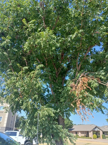

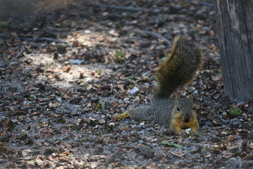

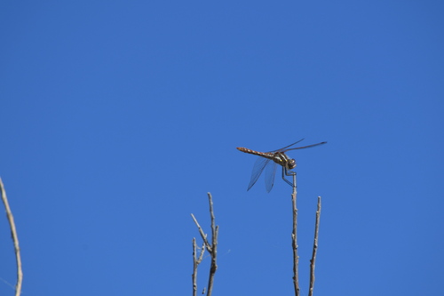
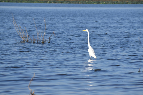
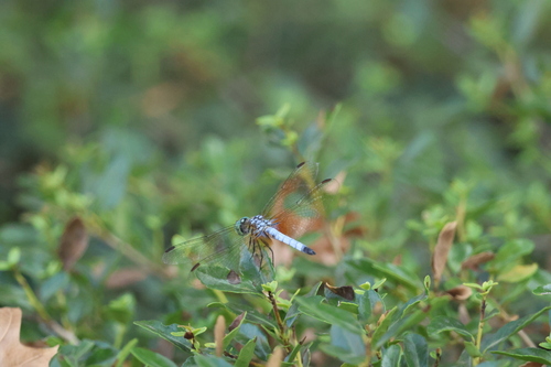
Research-grade observations from iNaturalist (within ~15 mi).
Nearest stream gauge
Live readings from USGS NWIS · measured 2026-10-16 11:45 UTC.
Events
Gallery
Sources
- • Wikipedia
- • US Census Bureau (ACS 5-year estimates)
- • NOAA National Weather Service
- • USGS Earthquake Catalog (global feed)
- • USGS NWIS (water data)
- • GBIF (Global Biodiversity Information Facility)
- • iNaturalist
- • Open-Meteo / sunrise-sunset.org
- • Wikipedia Pageviews API
- • Open Library
- • NASA EONET