Browse / Tanzania / Manyara / Bonga
Bonga
Manyaratown
Demographic figures from National Bureau of Statistics (Tanzania). Overview below cites Wikipedia and may reference a different year.
City facts
Overview
Bonga, a town in Manyara, Tanzania, forms part of the country's settled landscape. Geographically it lies in the southern hemisphere at a equatorial latitude (-4.349°, 35.737°). Detailed population figures are not currently catalogued in the open data sources we track. The location receives about 2,160 kWh/m² of solar irradiance per year and sunshine for roughly 85% of daylight hours. Based on its equatorial position, residents likely encounter hot and humid year-round with little seasonal temperature variation. Further detail — demographics, climate, nearby amenities and natural-hazard data — is compiled below from public open-data sources.
Summary composed automatically from structured open data on this page. See our Terms for details.
History & geography
Geography
Coordinates & boundaries from the US Census TIGER/Line shapefiles.
Climate
Air quality
Walkability
Amenities nearby
Wildlife & biodiversity
Most-observed species
- Southern Ground-HornbillBucorvus leadbeateri (Vigors, 1825) · Aves31
- HamerkopScopus umbretta Gmelin, 1789 · Aves31
- Cardinal WoodpeckerDendropicos fuscescens (Vieillot, 1818) · Aves30
- BrubruNilaus afer (Latham, 1802) · Aves30
- Emerald-spotted Wood-DoveTurtur chalcospilos (Wagler, 1827) · Aves29
- Goliath HeronArdea goliath Cretzschmar, 1829 · Aves26
- Pied CrowCorvus albus Statius Muller, 1776 · Aves26
- Yellow-breasted ApalisApalis flavida (Strickland, 1853) · Aves26
Citizen-science & research observations from the Global Biodiversity Information Facility (GBIF).
Earthquake history
Most recent
- M 4.3 — 2025-09-177 km SSE of Basotu, Tanzania
- M 4.6 — 2025-07-308 km ESE of Basotu, Tanzania
- M 5 — 2025-07-0918 km SSE of Basotu, Tanzania
- M 4.3 — 2025-05-2516 km SSW of Basotu, Tanzania
- M 4.6 — 2025-05-257 km SSE of Basotu, Tanzania
- M 4.6 — 2025-03-1717 km SSE of Basotu, Tanzania
Events from the USGS Earthquake Catalog (global) (FDSN Event Web Service).
Photos
Sights & places nearby
Notable people from here
Nearby places in Manyara
- Endasak16.3 mi away
- Nangwa23 mi away
- Katesh26.8 mi away
- Mbulu36.5 mi away
- Haydom50.7 mi away
- Kibaya87.6 mi away
- Mirerani101.8 mi away
- Han3022.1 mi away · pop. 2,100
- Günyüzü3032 mi away · pop. 5,455
- Çifteler3035.9 mi away · pop. 14,925
- Sivrihisar3038.1 mi away · pop. 20,140
- Seyitgazi3042.8 mi away · pop. 12,844
Geography & sun
Elevation, sunrise/sunset and daylight from Open-Meteo. Solar climatology from NASA POWER.
Nearby airports
Public attention
Books about this place
Recent natural events nearby
Ground air-quality sensors
Recently spotted species
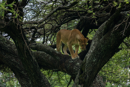
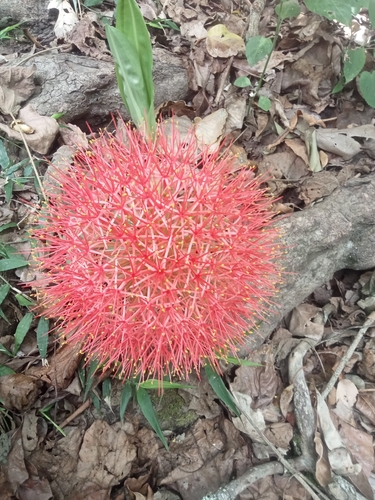
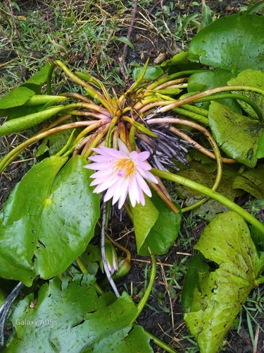
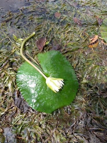
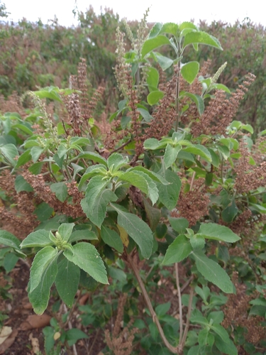
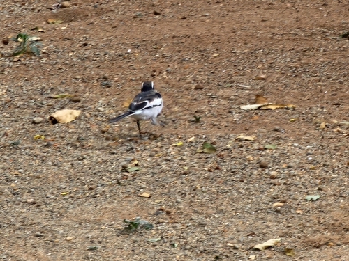
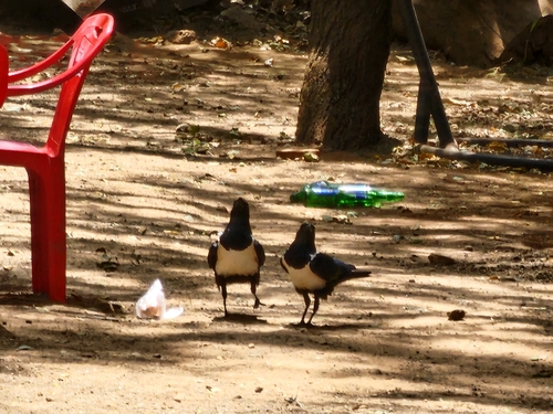
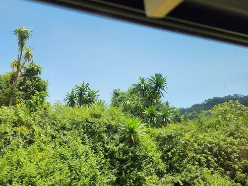
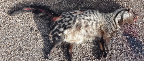
Research-grade observations from iNaturalist (within ~15 mi).
Events
Gallery
Sources
- • USGS Earthquake Catalog (global feed)
- • GBIF (Global Biodiversity Information Facility)
- • iNaturalist
- • Open-Meteo / sunrise-sunset.org