Browse / Tanzania / Dar es Salaam / Dar es Salaam
Dar es Salaam
Dar es Salaamcity

Dar es Salaam
Total population
5,383,728
Founded
1862
Air quality index
Demographic figures from National Bureau of Statistics (Tanzania). Overview below cites Wikipedia and may reference a different year.
City facts
Sister cities
Facts from Wikidata (CC0).
Overview
Dar es Salaam or Daresalaam is the largest city and financial hub of Tanzania and capital of the Dar es Salaam Region. It is located on the Swahili coast. With a population of over 7 million people, Dar es Salaam is the largest city in East Africa by population and the fifth-largest in Africa. Dar es Salaam remains an important economic centre and one of the fastest-growing cities in the world. Experts predict that the city's population will grow to over 10 million before 2030.
Read more on WikipediaHistory & geography
History
In the 19th century, 'Mzizima (Swahili for "healthy town") was a coastal fishing village on the periphery of Indian Ocean trade routes. In 1865 or 1866, Sultan Majid bin Said of Zanzibar began building a new city very close to Mzizima In the East African campaign of World War I, British and Empire forces captured German East Africa. The Royal Navy bombarded the city with the monitor on 21 July 1916 and battleship on 21 August. The German colonial authorities surrendered the city on 3 September. German East Africa became the British Tanganyika Territory. Dar es Salaam remained the administrative and commercial centre. Under British indirect rule, European areas such as Oyster Bay and African areas (e.g., Kariakoo and Ilala) developed separately from the city centre. The city's population also included a large number of workers from British India, many of whom came to take advantage of trade and commercial opportunities. After World War II, Dar es Salaam experienced a period of rapid growth. Political developments, including the formation and growth of the Tanganyika African National Union, led to Tanganyika's independence from colonial rule in December 1961. Dar es Salaam continued to serve as its capital, even when Tanganyika and the People's Republic of Zanzibar merged to form Tanzania in 1964. In 1973, provisions were made to relocate the capital to Dodoma, a more centrally located city in the interior. The relocation process to Dodoma was completed, although Dar es Salaam continued to be the location of most government offices. In 1967, the Tanzanian government declared the ujamaa policy, which made Tanzania lean towards socialism. The move hampered the potential growth of the city as the government encouraged people not to move into cities and instead remain…
Geography
Dar es Salaam is located at 6°48' S, 39°17' E (−6.8000, 39.2833), on a natural harbour on the coast of East Africa, with sandy beaches in some areas. Dar es Salaam Region is divided into five administrative districts, four of which are governed by municipal councils that are affiliated with the city's suburbs or wards. {| class="wikitable sortable" |+Districts of Dar es Salaam Region ! District ! Population(2016) ! Area(km2) |- | Ilala District | style="text-align:right;" | 1,528,489 | style="text-align:right;" | 210 |- | Kigamboni District | style="text-align:right;" | 1,510,129 | style="text-align:right;" | N/A |- | Kinondoni District | style="text-align:right;" | 1,164,177 | style="text-align:right;" | 527 |- | Temeke District | style="text-align:right;" | 204,029 | style="text-align:right;" | 656 |- | Ubungo District | style="text-align:right;" | 1,058,597 | style="text-align:right;" | N/A |- ! Dar es Salaam|Dar es Salaam Region !! style="text-align:right;" | 5,465,420 !! style="text-align:right;" | 1,393 |} Kinondoni is the most populated of the districts. It houses half of the city's population and several high-income suburbs. *Masaki, Oyster Bay and Ada Estate are the high-income suburbs located along the central beach. During the Colonial Era, they were the major European suburbs of the city. Diplomats and expatriates currently reside in these areas. Oyster Bay Beach (also known as Coco Beach) is the only white sandy beach east of Kinondoni. *Mikocheni and Regent Estate are also suburbs within the district. These are high and middle-income areas with Mikocheni B enjoying a higher population density than Mikocheni A and Regent Estate. According to the 2012 census, the Mikocheni ward had a population of 32,947. *Msasani is a peninsula to the…
Excerpted from the corresponding Wikipedia article (CC BY-SA).
Geography
Coordinates & boundaries from the US Census TIGER/Line shapefiles.
Climate
10-year averages from ERA5 reanalysis (Open-Meteo).
Air quality
Current readings from Open-Meteo Air Quality API (Copernicus CAMS European reanalysis).
Walkability
Amenities nearby
Wildlife & biodiversity
Most-observed species
- House CrowCorvus splendens Vieillot, 1817 · Aves493
- House SparrowPasser domesticus (Linnaeus, 1758) · Aves277
- NeemAzadirachta indica A.Juss. · Magnoliopsida221
- Sacred IbisThreskiornis aethiopicus (Latham, 1790) · Aves166
- African Palm-SwiftCypsiurus parvus (M.H.K.Lichtenstein, 1823) · Aves154
- Common BulbulPycnonotus barbatus (Desfontaines, 1789) · Aves146
- Cattle EgretBubulcus ibis (Linnaeus, 1758) · Aves137
- HorseradishtreeMoringa oleifera Lam. · Magnoliopsida134
Citizen-science & research observations from the Global Biodiversity Information Facility (GBIF).
Earthquake history
Most recent
- M 4.3 — 2025-12-2075 km NNE of Kilindoni, Tanzania
- M 4.5 — 2024-03-1829 km SSE of Mkuranga, Tanzania
- M 4.5 — 2020-10-0661 km ESE of Vikindu, Tanzania
- M 5.1 — 2020-08-1364 km NNE of Kilindoni, Tanzania
- M 4.4 — 2020-08-1236 km SE of Vikindu, Tanzania
- M 6 — 2020-08-1266 km NNE of Kilindoni, Tanzania
Events from the USGS Earthquake Catalog (global) (FDSN Event Web Service).
Photos
Sights & places nearby
Notable people from here


People born within ~10 km, from Wikidata (CC0). Click any name for their Wikipedia article.
Nearby places in Dar es Salaam
Geography & sun
Elevation, sunrise/sunset and daylight from Open-Meteo. Solar climatology from NASA POWER.
Nearby airports
Public attention
Pageview totals from the Wikimedia Pageviews API.
Books about Dar es Salaam



Search results from Open Library.
Recent natural events nearby
Ground air-quality sensors
Recently spotted species
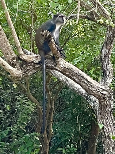
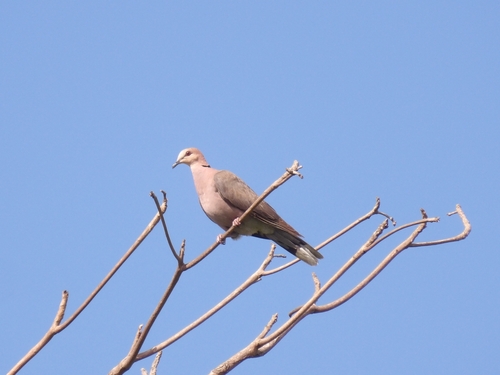
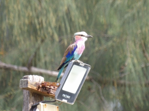
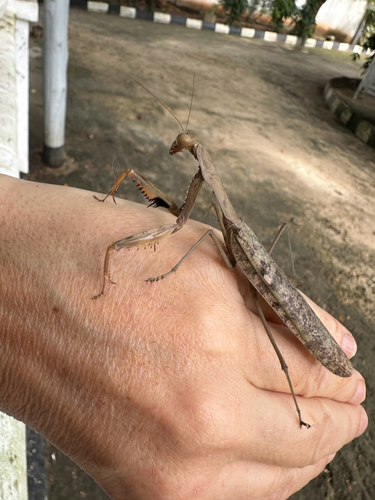
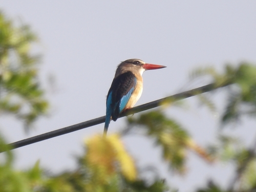
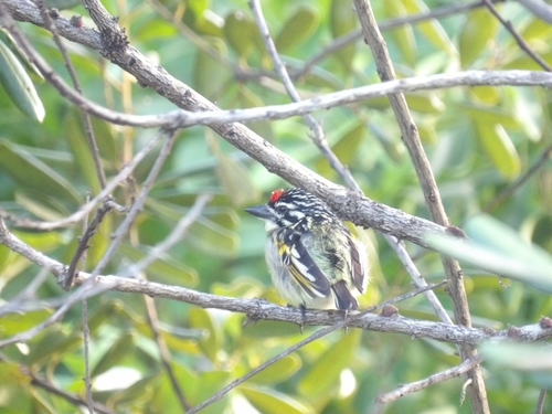
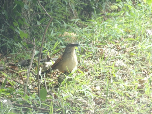
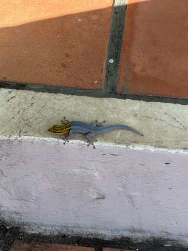
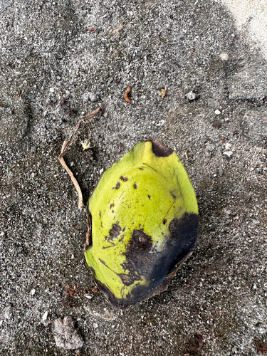
Research-grade observations from iNaturalist (within ~15 mi).
Events
Notable, recurring, and historical events associated with Dar es Salaam, sourced from Wikidata.
- Jan 1, 2025
Source: Wikidata (CC0).
Gallery
Geotagged photos within ~6 miles of Dar es Salaam, from Wikimedia Commons contributors.
 0.6 mi
 0.7 mi
 0.8 mi
 1 mi
1 mi 1 mi
1 mi 1 mi
1 mi 1.1 mi
 1.2 mi
 1.2 mi
 1.2 mi
 1.3 mi
 1.4 mi
.jpg) 1.5 mi
1.5 mi.jpg) 1.5 mi
1.5 mi.jpg) 1.5 mi
1.5 mi.jpg) 1.5 mi
1.5 mi 1.5 mi
 1.5 mi
 1.6 mi
 1.8 mi
 1.9 mi
 2.2 mi
 2.2 mi
 2.3 mi
Photos via Wikimedia Commons — see each image page for license & attribution.
Sources
- • Wikipedia
- • Open-Meteo (ERA5 reanalysis)
- • Wikimedia Commons
- • Wikidata
- • Open-Meteo Air Quality (CAMS)
- • USGS Earthquake Catalog (global feed)
- • GBIF (Global Biodiversity Information Facility)
- • iNaturalist
- • Open-Elevation
- • Open-Meteo / sunrise-sunset.org
- • Wikipedia Pageviews API
- • Open Library