Browse / Tanzania / Iringa / Iringa
Iringa
Iringacity

Iringa
Total population
202,490
Demographic figures from National Bureau of Statistics (Tanzania). Overview below cites Wikipedia and may reference a different year.
City facts
Overview
Iringa is a city in Tanzania with a population of 202,490 and situated at a latitude of 7.77°S and longitude of 35.69°E. The name is derived from the Hehe word lilinga, meaning fort. Iringa is the administrative capital of Iringa Region. Iringa Municipal Council is the administrative designation of the Municipality of Iringa. Iringa has been one of the coldest regions in Tanzania due to its geographical location but that has attracted a lot of tourists from colder regions abroad especially Western Europe. Iringa also hosts one of Africa’s largest national parks the Ruaha National Park.
Read more on WikipediaHistory & geography
History
The Isimila Stone Age site, which lies about to the southwest, contains archeological artifacts, particularly stone tools, from human habitation about 70,000 years ago. Iringa Region is home to the Hehe people. After their defeat at Lugalo by the Hehe, led by Chief Mkwawa, the Germans built a military station at 'Neu Iringa' to avenge the death of their commander Emil von Zelewski and to teach the Hehe respect for German authority. The fortress and headquarters of Chief Mkwawa was in the nearby village of Kalenga, Alt Iringa.
Geography
The town stretches along a hilltop overlooking the Little Ruaha River to the south, and spreads along ridges and valleys to the north. Iringa is in the Udzungwa Mountains, and the altitude of the town's environs is more than above sea level. The months of June, July, and August can see low temperatures near freezing. The Tanzam Highway passes through the valley below the town; the highway distance from Iringa's limits to Dar es Salaam is , via Morogoro. Iringa has a fairly dry climate with mild-to-warm temperatures year round. Iringa has a wet season from December to April, and a nearly rainless period from June to September. Its climate is classified by Köppen as a hot semi-arid climate (BSh).
Excerpted from the corresponding Wikipedia article (CC BY-SA).
Geography
Coordinates & boundaries from the US Census TIGER/Line shapefiles.
Climate
Air quality
Walkability
Amenities nearby
Wildlife & biodiversity
Most-observed species
- Common BulbulPycnonotus barbatus (Desfontaines, 1789) · Aves151
- Pied CrowCorvus albus Statius Muller, 1776 · Aves120
- Red-cheeked CordonbleuUraeginthus bengalus (Linnaeus, 1766) · Aves119
- Variable SunbirdCinnyris venustus (Shaw, 1799) · Aves114
- Slate-colored BoubouLaniarius funebris (Hartlaub, 1863) · Aves109
- White-browed Scrub RobinErythropygia leucophrys (Vieillot, 1817) · Aves104
- White-browed Robin-ChatCossypha heuglini Hartlaub, 1866 · Aves102
- Laughing DoveSpilopelia senegalensis (Linnaeus, 1766) · Aves95
Citizen-science & research observations from the Global Biodiversity Information Facility (GBIF).
Earthquake history
Most recent
- M 4.3 — 2018-08-1623 km SW of Mafinga, Tanzania
- M 4.4 — 2012-05-2324 km NNE of Izazi, Tanzania
- M 4.5 — 2009-10-2631 km NNE of Ilula, Tanzania
- M 4.1 — 2008-12-0231 km NE of Izazi, Tanzania
Events from the USGS Earthquake Catalog (global) (FDSN Event Web Service).
Photos
Sights & places nearby
Notable people from here
Geography & sun
Elevation, sunrise/sunset and daylight from Open-Meteo. Solar climatology from NASA POWER.
Nearby airports
Public attention
Pageview totals from the Wikimedia Pageviews API.
Books about Iringa

Search results from Open Library.
Recent natural events nearby
Ground air-quality sensors
Recently spotted species
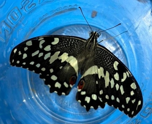
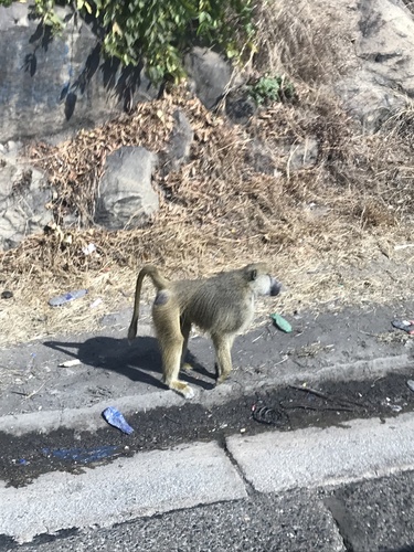

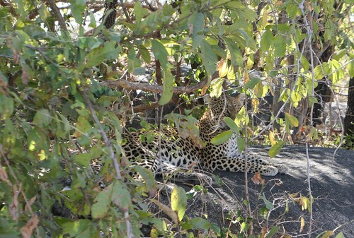
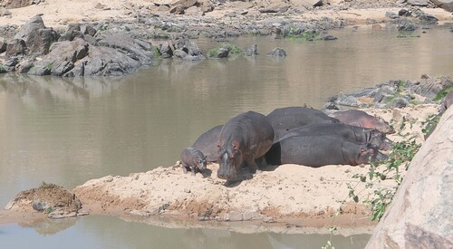
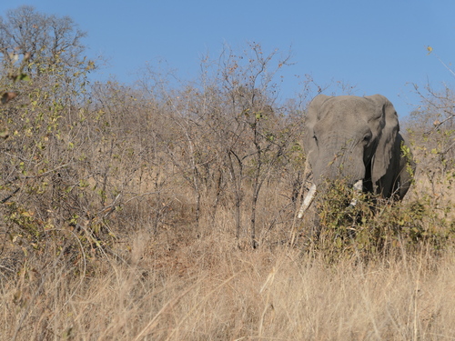
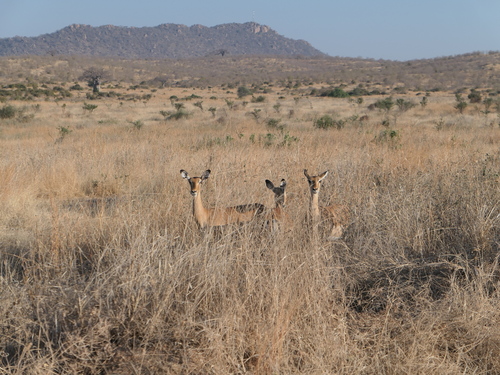
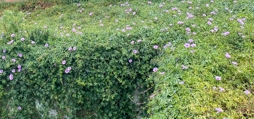
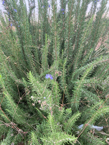
Research-grade observations from iNaturalist (within ~15 mi).
Events
Gallery
Sources
- • Wikipedia
- • USGS Earthquake Catalog (global feed)
- • GBIF (Global Biodiversity Information Facility)
- • iNaturalist
- • Open-Meteo / sunrise-sunset.org
- • Wikipedia Pageviews API
- • Open Library