Browse / Tanzania / Zanzibar North / Mahonda
Mahonda
Zanzibar Northtown
No image yet
Coordinates-5.99°, 39.25°
Demographic figures from National Bureau of Statistics (Tanzania). Overview below cites Wikipedia and may reference a different year.
Loading additional data from public sources…0 / 11
CensusWikipediaWeatherPlacesPeopleEnvironmentHealth & SchoolsRelatedGeography & CultureLive MonitoringEvents & Gallery
0% completeCity facts
Overview
Mahonda is a village on the Tanzanian island of Unguja, part of Zanzibar. It is located in the northeast of the island, seven kilometres to the west of Kinyasini and 20 kilometres northeast of the capital, Zanzibar City.
Read more on WikipediaHistory & geography
Geography
Latitude
-5.9883
Longitude
39.2499
Water area
—
Coordinates & boundaries from the US Census TIGER/Line shapefiles.
Climate
Air quality
Walkability
Amenities nearby
Wildlife & biodiversity
Earthquake history
Photos
Sights & places nearby
Notable people from here
Geography & sun
Avg solar (kWh/m²/day)
5.75
Annual solar (kWh/m²)
2,098
Elevation, sunrise/sunset and daylight from Open-Meteo. Solar climatology from NASA POWER.
Nearby airports
Public attention
Wikipedia views (last 30 days)
24
Avg daily Wikipedia views
1
Attention level
Obscure
Pageview totals from the Wikimedia Pageviews API.
Books about this place
Recent natural events nearby
Ground air-quality sensors
Recently spotted species
Favites vasta
Favites vasta
Seen 2026-09-25

Red-legged Millipede
Epibolus pulchripes
Seen 2026-09-14
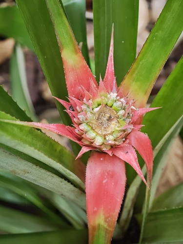
pineapple
Ananas comosus
Seen 2026-09-14
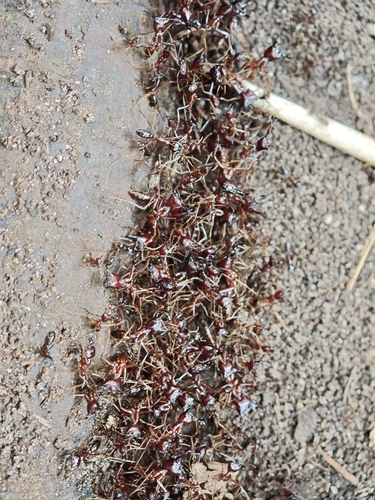
Dorylus nigricans
Dorylus nigricans
Seen 2026-09-14
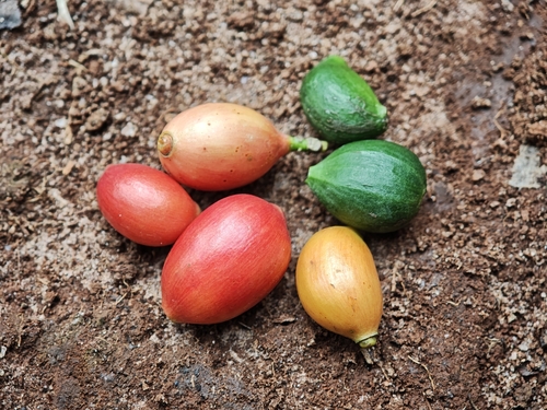
Coffee
Coffea arabica
Seen 2026-09-14
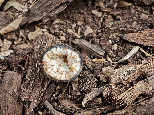
Nutmeg
Myristica fragrans
Seen 2026-09-14
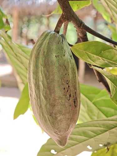
cacao tree
Theobroma cacao
Seen 2026-09-14

Scimitar-horn Kitespider
Gasteracantha falcicornis
Seen 2026-09-02
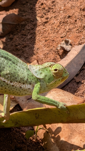
Flap-necked Chameleon
Chamaeleo dilepis
Seen 2026-08-17
Research-grade observations from iNaturalist (within ~15 mi).
Events
Gallery
Sources
- • Wikipedia
- • iNaturalist
- • Open-Meteo / sunrise-sunset.org
- • Wikipedia Pageviews API