Browse / Tanzania / Mbeya / Mbeya
Mbeya
Mbeyacity

Mbeya
Total population
541,603
Founded
2005
Demographic figures from National Bureau of Statistics (Tanzania). Overview below cites Wikipedia and may reference a different year.
City facts
Facts from Wikidata (CC0).
Overview
Mbeya is a city located in south west Tanzania, Africa, with an urban population of 649,000 in 2023. Mbeya is the capital of the surrounding rural Mbeya region.
Read more on WikipediaHistory & geography
History
Following the 1906 gold rush, Mbeya was founded as a gold mining town in the 1920s. The TAZARA railway later attracting farming migrants and small entrepreneurs to the area. Mbeya and its district were administered by the British until 1961. Mbeya Region was created in 1961. Mbeya City is now a growing metropolis and business centre for the southern regions and the neighbouring countries of Malawi, Zambia and Congo. The city is well connected with an all-weather road that forms part of the "Great North Road" running from Cape Town to Alexandria. The city has several tribes including the Safwa, Nyakyusa, Nyiha and Ndali all being agricultural peoples. Mbeya is one of the regions that form the bread basket of Tanzania.
Geography
Mbeya has a subtropical highland climate (Cwb, according to the Köppen climate classification), with humid summers and dry winters. The general range of temperature is between during highlands mornings and during lowland afternoons. The weather from June until October, is dry and cold. The heaviest rainfall occurs during the months of December to April, and annual rainfall averages approximately . The area around Mbeya town (especially in Tukuyu) enjoys abundant and reliable rainfall which stimulates abundant agriculture on the rich volcanic soils. The area around Mbeya has been called the "Scotland of Africa". The hills are clad in heather and bracken, but botanically they are more closely related to the Fynbos (fine bush) of South Africa's Western Cape Province than the Highlands of Scotland. The nearest mountain to Mbeya is Loleza Mountain, which rises over and behind the town. Mbeya Peak is visible but some distance away. Mount Rungwe is the highest mountain in the wider Mbeya region and it dominates the skyline for several kilometers around. It is composed of ten or more dormant volcanic craters and domes. Rising above the small town of Tukuyu, at , Rungwe is southern Tanzania's highest peak, and is among the highest in the country after some of the peaks in northern Tanzania such as Mount Kilimanjaro () and Mount Meru (). Mount Rungwe is surrounded by a catchment forest reserve that was gazetted in 1949. This forest reserve incorporates montane forest, upper montane forest and montane grassland, with lesser amounts of bushland and heath at the upper elevations, found in low bushes along streams and at the edges of montane forest. The forest is home to a variety of significant forest flora and fauna, including the threatened Abbott's duiker. The forest is…
Excerpted from the corresponding Wikipedia article (CC BY-SA).
Geography
Coordinates & boundaries from the US Census TIGER/Line shapefiles.
Climate
Air quality
Walkability
Amenities nearby
Wildlife & biodiversity
Earthquake history
Photos
Sights & places nearby
Notable people from here


People born within ~10 km, from Wikidata (CC0). Click any name for their Wikipedia article.
Nearby places in Mbeya
Geography & sun
Elevation, sunrise/sunset and daylight from Open-Meteo. Solar climatology from NASA POWER.
Nearby airports
Public attention
Pageview totals from the Wikimedia Pageviews API.
Books about Mbeya

Search results from Open Library.
Recent natural events nearby
Ground air-quality sensors
Recently spotted species
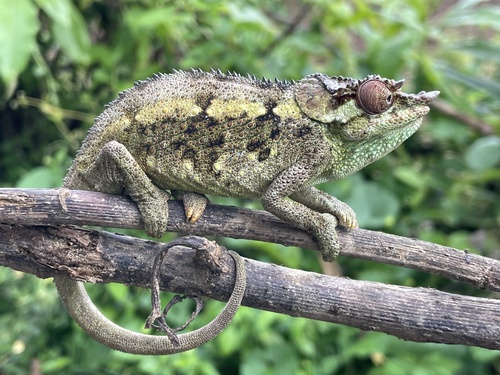
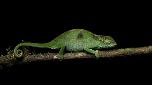
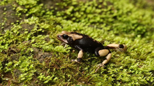
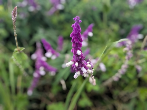
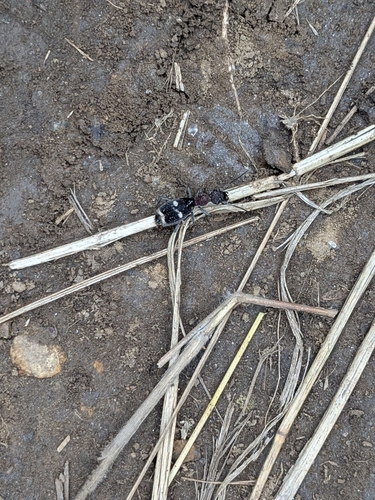
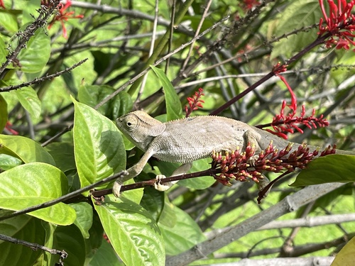
Research-grade observations from iNaturalist (within ~15 mi).
Events
Gallery
Sources
- • Wikipedia
- • Wikidata
- • iNaturalist
- • Open-Meteo / sunrise-sunset.org
- • Wikipedia Pageviews API
- • Open Library