Browse / Uganda / Central / Bombo
Bombo
Centraltown

Bombo
Total population
26,370
Demographic figures from Uganda Bureau of Statistics. Overview below cites Wikipedia and may reference a different year.
City facts
Overview
Bombo is a town in Luweero District in the Central Region of Uganda.
Read more on WikipediaHistory & geography
History
Many officers and soldiers of the Uganda Army (UA) settled in Bombo upon their retirement during the Second Republic of Uganda (1971–79). At the time, many inhabitants were Nubians, an ethnic group whose members were viewed as supporters of President Idi Amin. The town also hosted the barracks for the UA's Malire Regiment. As a result, Bombo was affected by the Uganda–Tanzania War. After Idi Amin's government had been factually overthrown and Kampala been captured by the Tanzania People's Defence Force (TPDF) as well as allied Ugandan rebels on 11 April, UA soldiers of Nubian origin as well as their families began to terrorize other locals in Bombo. After several killings, many younger soldiers fled the town, but the retired officers set up defenses to oppose the TPDF's 201st Brigade that was approaching the town from the south. The Battle of Bombo in April 1979 resulted in a Tanzanian victory. Several Ugandan defenders were killed, much weaponry was captured by the TPDF, and the town suffered substantial damage. Many Nubian, Kakwa, and Lugbara locals subsequently fled the town, fearing reprisals by anti-Amin groups. Following the war's conclusion, Bombo was not provided with relief aid like other settlements, as the new Ugandan government suspected its large Nubian population. Many buildings in the town continued to display damage suffered during the 1979 battle for decades. Bombo's barracks continued to be used during the Ugandan Bush War, and the Uganda National Liberation Army was known to imprison civilians there from 1981. In the 1980s, Kenya forced many former Nubian inhabitants of Bombo to return to Uganda. They were denied refugee status, and often fell into poverty. In 1995, Bombo was also stripped of its municipality status. Since then, locals have…
Excerpted from the corresponding Wikipedia article (CC BY-SA).
Geography
Coordinates & boundaries from the US Census TIGER/Line shapefiles.
Climate
Air quality
Walkability
Amenities nearby
Wildlife & biodiversity
Most-observed species
- Common BulbulPycnonotus barbatus (Desfontaines, 1789) · Aves98
- Hadada IbisBostrychia hagedash (Latham, 1790) · Aves79
- Eastern Plantain-eaterCrinifer zonurus (Ruppell, 1835) · Aves77
- Great Blue TuracoCorythaeola cristata (Vieillot, 1816) · Aves72
- Bronze mannikinLonchura cucullata (Swainson, 1837) · Aves66
- Red-eyed DoveStreptopelia semitorquata (Rüppell, 1837) · Aves65
- Speckled MousebirdColius striatus J.F.Gmelin, 1789 · Aves63
- Northern Gray-headed SparrowPasser griseus (Vieillot, 1817) · Aves63
Citizen-science & research observations from the Global Biodiversity Information Facility (GBIF).
Earthquake history
Most recent
- M 4.2 — 2022-08-3114 km NE of Buwenge, Uganda
- M 4.5 — 2010-12-2732 km SSE of Jinja, Uganda
Events from the USGS Earthquake Catalog (global) (FDSN Event Web Service).
Photos
Sights & places nearby
Notable people from here

People born within ~10 km, from Wikidata (CC0). Click any name for their Wikipedia article.
Nearby places in Central
Geography & sun
Elevation, sunrise/sunset and daylight from Open-Meteo. Solar climatology from NASA POWER.
Nearby airports
Public attention
Pageview totals from the Wikimedia Pageviews API.
Books about Bombo
Search results from Open Library.
Recent natural events nearby
Ground air-quality sensors
Recently spotted species
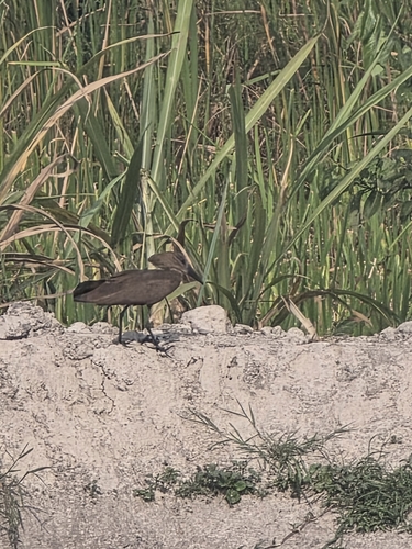
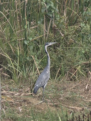
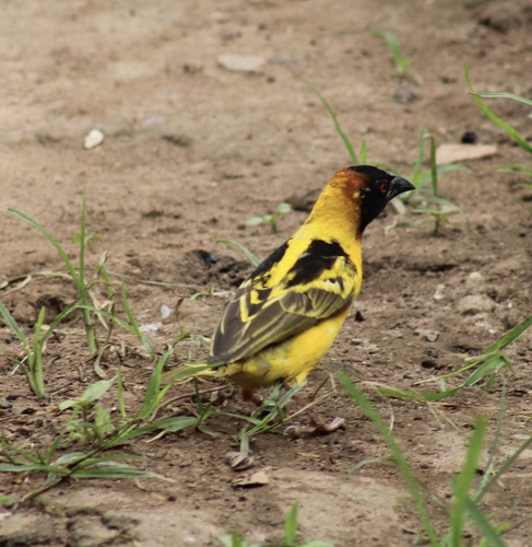
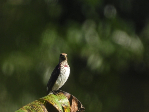
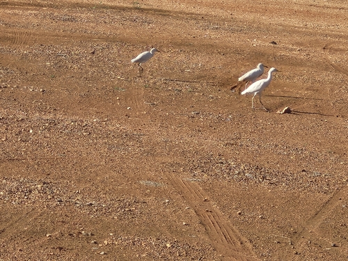
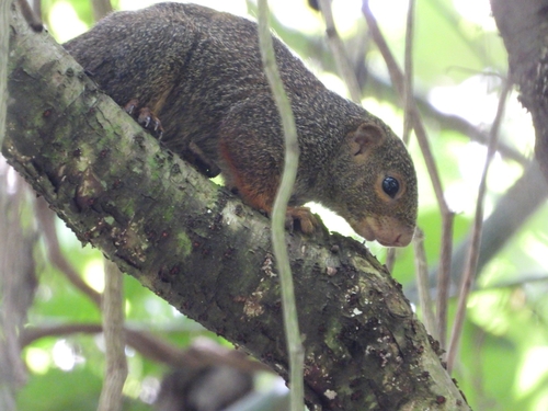
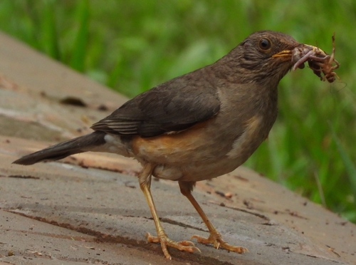
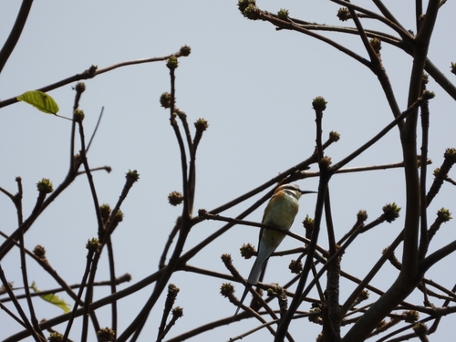
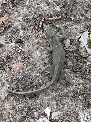
Research-grade observations from iNaturalist (within ~15 mi).
Events
Gallery
Sources
- • Wikipedia
- • Wikidata
- • USGS Earthquake Catalog (global feed)
- • GBIF (Global Biodiversity Information Facility)
- • iNaturalist
- • Open-Meteo / sunrise-sunset.org
- • Wikipedia Pageviews API
- • Open Library