Browse / Uganda / Central / Entebbe
Entebbe
Centralcity

Entebbe
Total population
69,958
Demographic figures from Uganda Bureau of Statistics. Overview below cites Wikipedia and may reference a different year.
City facts
Sister cities
Facts from Wikidata (CC0).
Overview
Entebbe is a city in Central Uganda which is located on Lake Victoria peninsula, approximately 36 kilometres (22 mi) southwest of the Ugandan capital city, Kampala. Entebbe was once the seat of government for the Protectorate of Uganda prior to independence, in 1962. The city is the location of Entebbe International Airport, Uganda's largest commercial and military airport, which gained worldwide attention in a 1976 Israeli rescue of 100 hostages kidnapped by the militant group of the PFLP-EO and Revolutionary Cells (RZ) organizations. Entebbe is also the location of State House, the official office and residence of the President of Uganda.
Read more on WikipediaHistory & geography
History
"Entebbe", in the local Luganda language, means a "seat" and was probably named that because it was the place where a Baganda chief sat to adjudicate legal cases. It first became a British colonial administrative and commercial centre in 1893 when Sir Gerald Portal, a colonial Commissioner, used it as a base. Port Bell went on to become Kampala's harbour. Although no ships dock there now, there is still a jetty, which was used by Lake Victoria ferries. Entebbe International Airport, the main international airport of Uganda, has been the site of some well known events, making it famous in Europe and abroad. It was from this airport that Queen Elizabeth II departed Africa to return to England in 1952 when she learned of her father's death and that she had become Queen. The airport was the scene of Operation Entebbe, a hostage rescue on 4 July 1976, when soldiers from the Sayeret Matkal, Paratroopers Brigade and Golani Brigade units of the Israeli Army freed over 100 hostages following a hijacking by a group of Palestinian and German militia. The city of Entebbe also hosted final resolution talks to end the M23 rebellion.
Geography
Entebbe experiences a tropical rainforest climate (Af) according to the Köppen climate classification as the city has no real dry season throughout the year. Its driest month is July with precipitation averaging , while the wettest is April with precipitation averaging . The temperature is moderated by the altitude. The hottest month is February with an average temperature of , while the coolest is July with an average temperature of .
Excerpted from the corresponding Wikipedia article (CC BY-SA).
Geography
Coordinates & boundaries from the US Census TIGER/Line shapefiles.
Climate
Air quality
Walkability
Amenities nearby
Wildlife & biodiversity
Earthquake history
Photos
Sights & places nearby
Notable people from here


People born within ~10 km, from Wikidata (CC0). Click any name for their Wikipedia article.
Nearby places in Central
Geography & sun
Elevation, sunrise/sunset and daylight from Open-Meteo. Solar climatology from NASA POWER.
Nearby airports
Public attention
Pageview totals from the Wikimedia Pageviews API.
Books about Entebbe

Search results from Open Library.
Recent natural events nearby
Ground air-quality sensors
Recently spotted species
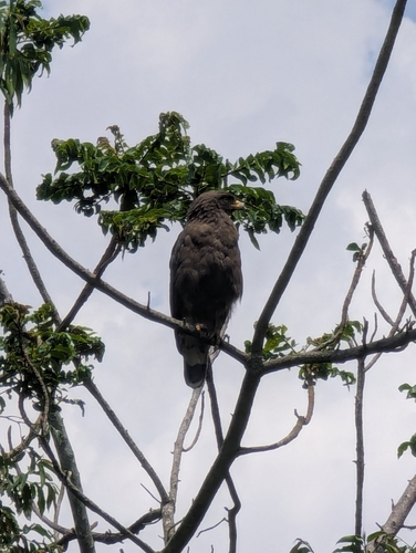
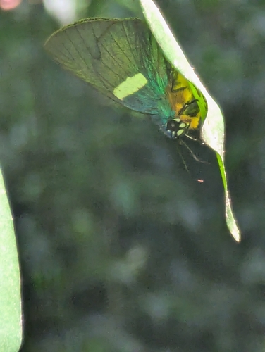
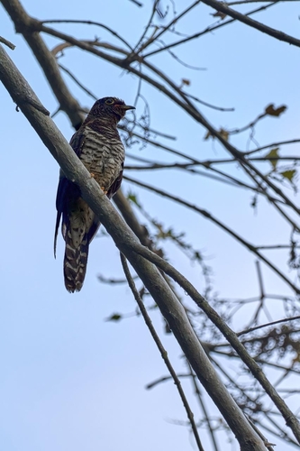
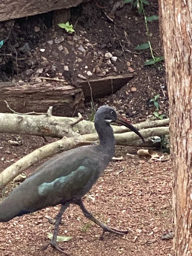
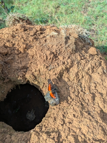
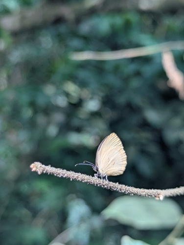
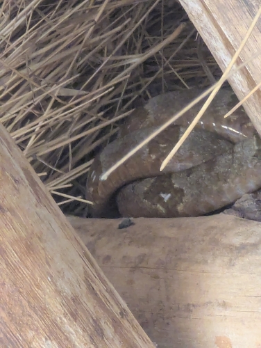
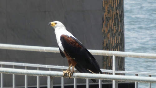
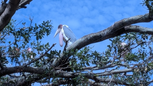
Research-grade observations from iNaturalist (within ~15 mi).
Events
Gallery
Sources
- • Wikipedia
- • Wikidata
- • iNaturalist
- • Open-Meteo / sunrise-sunset.org
- • Wikipedia Pageviews API
- • Open Library