Browse / Uganda / Eastern / Kakira
Kakira
Easterntown
No image yet
Elevation1220 m
Coordinates0.51°, 33.29°
Demographic figures from Uganda Bureau of Statistics. Overview below cites Wikipedia and may reference a different year.
Loading additional data from public sources…0 / 11
CensusWikipediaWeatherPlacesPeopleEnvironmentHealth & SchoolsRelatedGeography & CultureLive MonitoringEvents & Gallery
0% completeCity facts
Elevation
1220 m
Facts from Wikidata (CC0).
Overview
Kakira is a town in the Eastern Region of Uganda. It is the location of the International headquarters of the Madhvani Group.
Read more on WikipediaHistory & geography
Geography
Latitude
0.5083
Longitude
33.2878
Water area
—
Coordinates & boundaries from the US Census TIGER/Line shapefiles.
Climate
Air quality
Walkability
Amenities nearby
Wildlife & biodiversity
Earthquake history
Photos
Sights & places nearby
Notable people from here

Apollo Kaggwa
intellectual and political leader in Uganda
E
Ezekiel Tenywa Wako of Busoga
Ugandan Busoga chief

Henry Kyemba
Ugandan politician
D
Deusdedit Muhumuza
cricketer
M
Mayur Madhvani
Ugandan businessman
N
Nimisha Jayant Madhvani
Ugandan diplomat
M
Mowzey Radio
Ugandan musician

Paul Okello
Founder & C.E.O of Visit Africa

Wilberforce Nadiope
Kyabanzinga of Busoga
M
Malyamu Amin
Uganda's First Lady wife to Idi Amin
People born within ~10 km, from Wikidata (CC0). Click any name for their Wikipedia article.
Nearby places in Eastern
Geography & sun
Elevation
3,868 ft (1179 m)
Avg solar (kWh/m²/day)
5.81
Annual solar (kWh/m²)
2,119
Elevation, sunrise/sunset and daylight from Open-Meteo. Solar climatology from NASA POWER.
Nearby airports
Public attention
Wikipedia views (last 30 days)
218
Avg daily Wikipedia views
7
Attention level
Obscure
Pageview totals from the Wikimedia Pageviews API.
Books about this place
Recent natural events nearby
Ground air-quality sensors
Recently spotted species
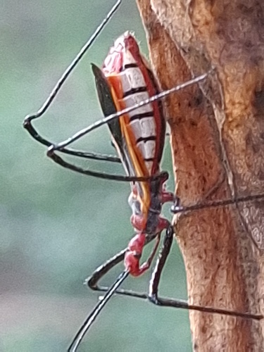
Pisilus tipuliformis
Pisilus tipuliformis
Seen 2026-08-09
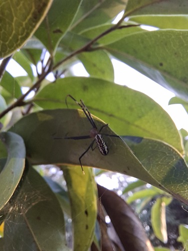
Hairy Golden Orb-weaving Spider
Trichonephila fenestrata
Seen 2026-08-09
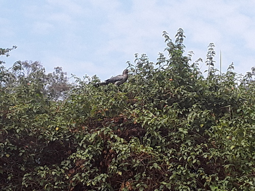
Eastern Plantain-eater
Crinifer zonurus
Seen 2026-07-19
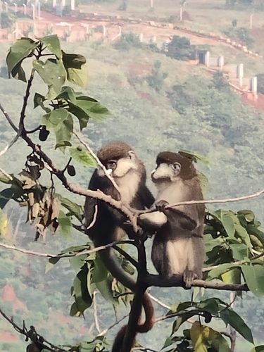
Schmidt's Red-tailed Monkey
Cercopithecus ascanius schmidti
Seen 2026-07-16
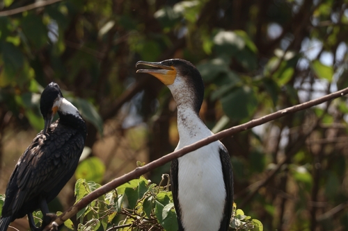
Great Cormorant
Phalacrocorax carbo
Seen 2026-07-14
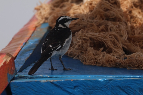
African Pied Wagtail
Motacilla aguimp
Seen 2026-07-14
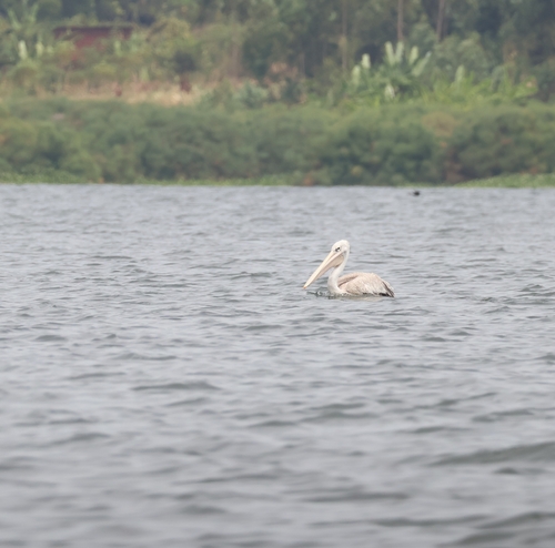
Pink-backed Pelican
Pelecanus rufescens
Seen 2026-07-14
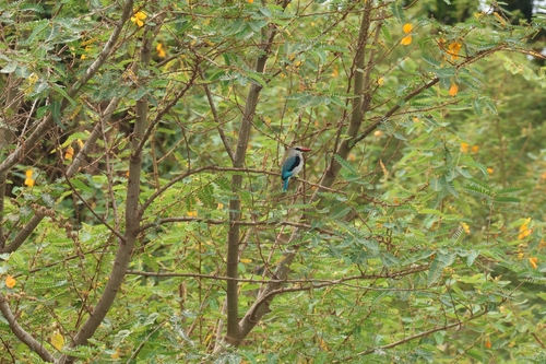
Woodland Kingfisher
Halcyon senegalensis
Seen 2026-07-14
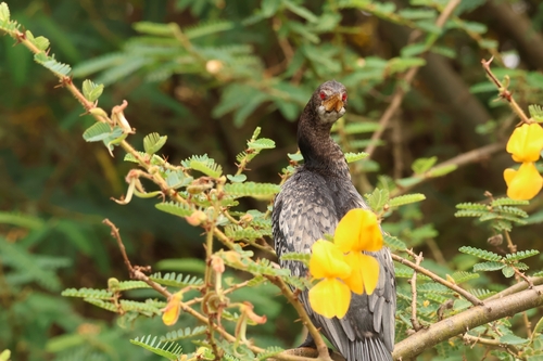
Reed Cormorant
Microcarbo africanus
Seen 2026-07-14
Research-grade observations from iNaturalist (within ~15 mi).
Events
Gallery
Sources
- • Wikipedia
- • Wikidata
- • iNaturalist
- • Open-Elevation
- • Open-Meteo / sunrise-sunset.org
- • Wikipedia Pageviews API