Browse / Uganda / Central / Kampala
Kampala
Centralcity

Kampala
Total population
1,516,210
Demographic figures from Uganda Bureau of Statistics. Overview below cites Wikipedia and may reference a different year.
City facts
Sister cities
Facts from Wikidata (CC0).
Overview
Kampala is the capital and largest city of Uganda. The city proper has a population of 1,797,722 and is divided into the five political divisions of Kampala Central, Kawempe, Makindye, Nakawa, and Rubaga.
Read more on WikipediaHistory & geography
History
This area of numerous hills and swamps that later become known as Kampala was part of the core of the highly centralised Buganda Kingdom. It was also the site of the shifting Kibuga (capital) of the different Bassekabaka (kings) of the Buganda Kingdom, with each Kabaka (king) upon coronation, or subsequently during their reign, setting up their Kibuga (capital) on a new or different hill as they wished or desired. The first written description of this Kibuga (capital) was by the explorer Sir Richard Burton in his book, The Lake Region of East Africa, published in 1860. In the book, Burton, relying on the information collected by Snay Bin Amir, an Arab trader, described the Kibuga as: In 1862, when explorer John Speke arrived in Buganda, the Kibuga (capital) was at Bandabarogo, present-day Banda Hill, and the reigning Kabaka (King) was Mutesa I. In 1875, explorer Henry Morton Stanley reported the capital as being at present-day Lubaga Hill, where he met the same Kabaka, During this visit, Stanley wrote a letter that was published in The Daily Telegraph, inviting missionaries to come to Buganda. He also described the Kibuga in his 1870s dispatches to The New York Herald, thus: In 1877, the first missionaries from the Church Mission Society, who were of the Protestant faith, arrived from the United Kingdom and were allocated Namirembe Hill. Two years later, in 1879, the Catholic White Fathers also arrived, first settling at the present-day village of Kitebi near Lubaga; subsequently, they would be allocated Lubaga Hill. The arrival of these two missionary groups laid the ground for the religious wars of 1888 to 1892 between their new converts and forced the missionaries from Great Britain to then lobby for the British government to take over Buganda/Uganda as a…
Geography
The City of Kampala covers a total area of , comprising of land and of water. Kampala is a hilly place with its valleys filled with sluggish rivers, lakes /swamps. The highest point in the city proper is the summit of Kololo hill at , located in the centre of the city and the lowest point at the shores of Lake Victoria south of the city centre at altitude of . Kampala was originally built on seven hills, but it has expanded to cover more than the original seven hills. The original seven hills are: * Old Kampala Hill on which Fort Lugard was located, the first seat of the British colonial authorities in colonial Uganda. * The second is Mengo Hill which was the then kibuga (capital) of Buganda kingdom at the start of British colonial rule. * The third is Kibuli Hill, that is home to the Kibuli Mosque. * The fourth is Namirembe Hill, that was home to the Anglican (Wangeleza) faction of the Buganda religious wars of 1888 to 1892 and site of Namirembe Anglican Cathedral. * The fifth is Lubaga Hill, that was home to the White Fathers Catholic (Wafaransa) faction of the above-mentioned Buganda religious wars and also site of the Rubaga Catholic Cathedral. * The sixth is Nsambya Hill, site of the former Cathedral of St Peter's Nsambya and allocated to the British Catholic Mill Hill Mission during the signing of the Uganda Agreement (1900). * The seventh is Nakasero Hill on whose summit was Fort Nakasero, a British military installation built after relocating from Fort Lugard in Old Kampala. The hill was also the site of the European Hospital (the current government analytical laboratory opposite Ministry of Public Service headquarters). Due to Kampala's hilly nature and tropical climate, the valleys have slow rivers and swamps that tend to flow southwards towards Lake…
Excerpted from the corresponding Wikipedia article (CC BY-SA).
Geography
Coordinates & boundaries from the US Census TIGER/Line shapefiles.
Climate
Air quality
Walkability
Amenities nearby
Wildlife & biodiversity
Most-observed species
- Hadada IbisBostrychia hagedash (Latham, 1790) · Aves1,446
- Common BulbulPycnonotus barbatus (Desfontaines, 1789) · Aves1,167
- Black KiteMilvus migrans (Boddaert, 1783) · Aves1,145
- Eastern Plantain-eaterCrinifer zonurus (Ruppell, 1835) · Aves1,021
- Red-eyed DoveStreptopelia semitorquata (Rüppell, 1837) · Aves931
- Pied CrowCorvus albus Statius Muller, 1776 · Aves848
- Rüppell's StarlingLamprotornis purpuroptera Rüppell, 1845 · Aves838
- Marabou StorkLeptoptilos crumenifer (R.P.Lesson, 1831) · Aves663
Citizen-science & research observations from the Global Biodiversity Information Facility (GBIF).
Earthquake history
Photos
Sights & places nearby
Notable people from here
Nearby places in Central
Geography & sun
Elevation, sunrise/sunset and daylight from Open-Meteo. Solar climatology from NASA POWER.
Nearby airports
Public attention
Pageview totals from the Wikimedia Pageviews API.
Books about Kampala

Search results from Open Library.
Recent natural events nearby
Ground air-quality sensors
Recently spotted species
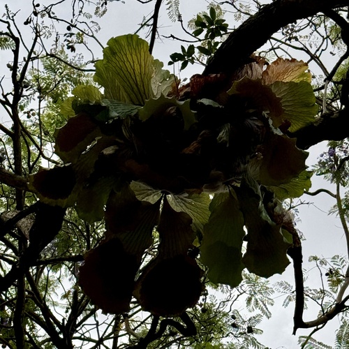
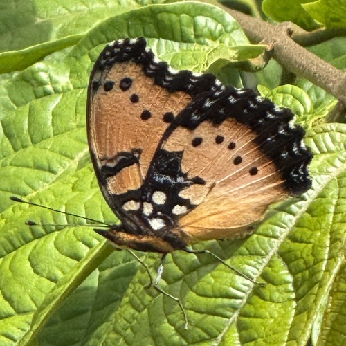
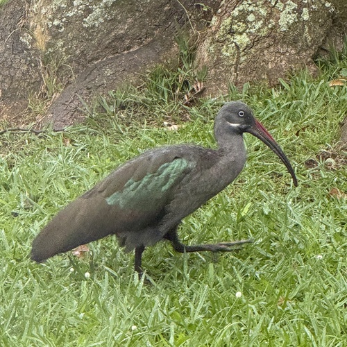
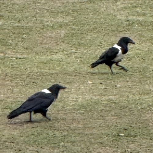
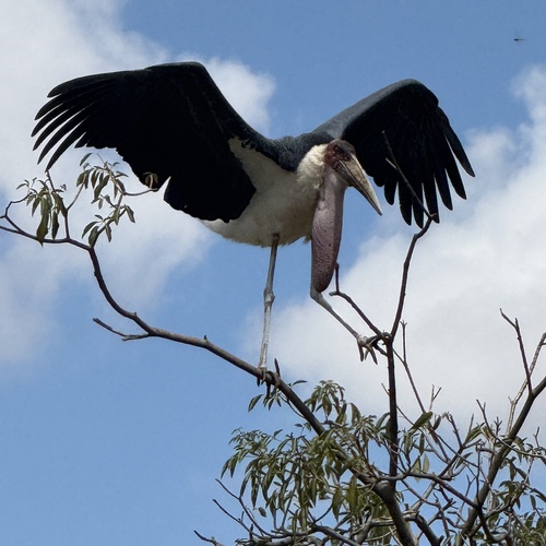
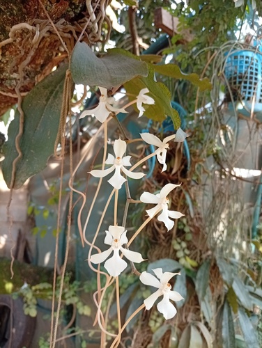
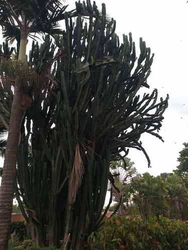
Research-grade observations from iNaturalist (within ~15 mi).
Events
Gallery
Sources
- • Wikipedia
- • Wikidata
- • GBIF (Global Biodiversity Information Facility)
- • iNaturalist
- • Open-Meteo / sunrise-sunset.org
- • Wikipedia Pageviews API
- • Open Library