Browse / Uganda / Western / Katuna
Katuna
Westerntown
Demographic figures from Uganda Bureau of Statistics. Overview below cites Wikipedia and may reference a different year.
City facts
Facts from Wikidata (CC0).
Overview
Katuna is a town in the Kabale District of Uganda at the border with Rwanda. The town is also called "Gatuna" in the Kinyarwanda language.
Read more on WikipediaHistory & geography
History
In the pre-colonial times Katuna was a very important place. Around 1600 AD, the first Bakiga (named after their ancestor Kashyiga) arrived from Rwanda, came to the hills of Kagarama and Rwanyena, fearing to cross the big lake which they named Bunyonyi, (so big that small birds could not cross it), they discovered a shorter route along the plains where there was a tree under which they rested, played and prayed, giving thanks to their ancestors before they could proceed to the hills. They called the place Gatuna for a meeting place. However, some fellow Rwandan immigrants who came following their relatives lost their way and went to Rubaya. That time, they migrated from Rwanda in places like Byumba, Murindi, Ruhengyere, Mukaniga and Buganza (especially from the Bumbogo Kingdom) in search of fertile land and to escape natural hazards and internal political conflicts. When Chief Rubunga was sending envoys to Mpororo, it is at Gatuna under the command of the now called the Abagyesera and Abasigi clans that the first group disobeyed and went towards Ankore. This was the beginning of the decentralization of the Rukiga Kingdom. From that time, different clans were formed, no longer heeding allegiance to the Main Chief. Rubunga belonged to the Bamuhutu ruling as a Mungura. Till today, there's still a dispute among the Bakiga who was their real King. However, many legends hold that, due to fear of the brutality of the Abungura who mistreated most of the Bakiga, after the death of Rubunga, the Bakiga formed Abakuru b’Ekika (elders of homesteads) but feared to ask the Abungura to give them Umwami or Omukama. Thereafter they elected abakuru b’emidyango (elders of clans) who were representatives but since these had to refer to one elder, which idea they did not like, the whole…
Geography
Until 1926 Katuna was located in the then Belgian Rwanda. It was the major exit point for political deserters who came to settle in Uganda. Katuna became a part of the then British Uganda after the demarcation of the Uganda-Rwanda border in 1926, based on an agreement between the British and Belgian governments. This was the last part to become part of Uganda. ;Rubaya Rubaya Subcounty is the wheat-growing area in the region. 70% of people who live Katuna, trace their ancestry to Rwanda. They are believed to have come from parts of Rwanda such as Murindi, Byumba, Ruhengyere and Mukaniga. Others trace their Rwandan roots through marriage between Rwandan women and Ugandans. ;Kamuganguzi Kamuganguzi on the other hand, is along the main road to Kigali and the inhabitants are believed to be more sociable compared to those in Rubaya.
Excerpted from the corresponding Wikipedia article (CC BY-SA).
Geography
Coordinates & boundaries from the US Census TIGER/Line shapefiles.
Climate
Air quality
Walkability
Amenities nearby
Wildlife & biodiversity
Most-observed species
- Gray Crowned-CraneBalearica regulorum (E.T.Bennett, 1834) · Aves255
- Carruthers's CisticolaCisticola carruthersi Ogilvie-Grant, 1909 · Aves213
- Pied CrowCorvus albus Statius Muller, 1776 · Aves181
- Hadada IbisBostrychia hagedash (Latham, 1790) · Aves173
- Common BulbulPycnonotus barbatus (Desfontaines, 1789) · Aves146
- Pied KingfisherCeryle rudis (Linnaeus, 1758) · Aves143
- Bronze SunbirdNectarinia kilimensis Shelley, 1885 · Aves141
- Streaky SeedeaterCrithagra striolata (Rüppell, 1840) · Aves134
Citizen-science & research observations from the Global Biodiversity Information Facility (GBIF).
Earthquake history
Most recent
- M 4.6 — 2023-06-1546 km WSW of Ntungamo, Uganda
- M 4.5 — 2021-05-2714 km E of Gisenyi, Rwanda
- M 4.3 — 2021-05-2717 km ENE of Gisenyi, Rwanda
- M 4.5 — 2021-05-2617 km SSE of Gisenyi, Rwanda
- M 4.5 — 2021-05-2611 km SE of Gisenyi, Rwanda
- M 4.5 — 2021-05-264 km S of Gisenyi, Rwanda
Events from the USGS Earthquake Catalog (global) (FDSN Event Web Service).
Photos
Sights & places nearby
Notable people from here
Nearby places in Western
Geography & sun
Elevation, sunrise/sunset and daylight from Open-Meteo. Solar climatology from NASA POWER.
Nearby airports
Public attention
Pageview totals from the Wikimedia Pageviews API.
Books about this place
Recent natural events nearby
Ground air-quality sensors
Recently spotted species
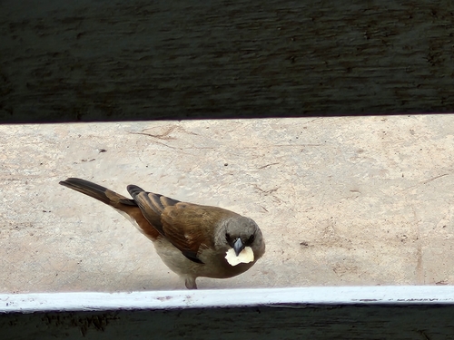
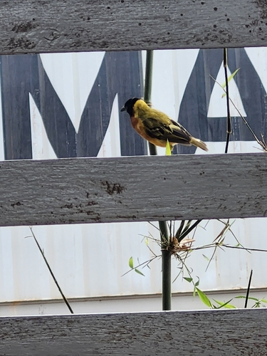
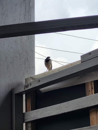
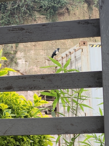
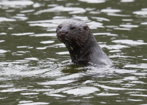
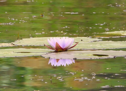
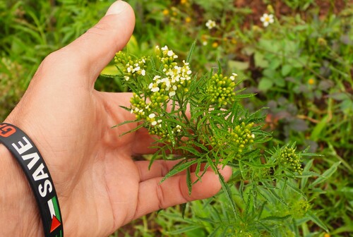
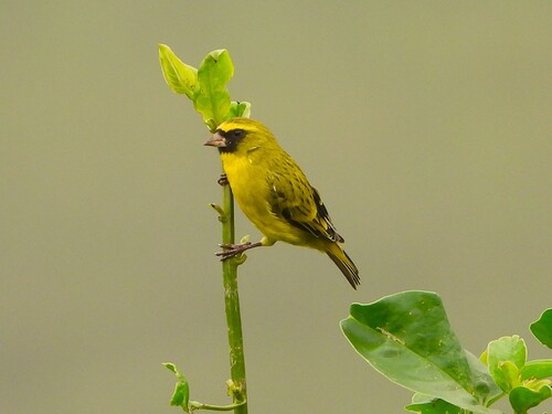
Research-grade observations from iNaturalist (within ~15 mi).
Events
Gallery
Sources
- • Wikipedia
- • Wikidata
- • USGS Earthquake Catalog (global feed)
- • GBIF (Global Biodiversity Information Facility)
- • iNaturalist
- • Open-Meteo / sunrise-sunset.org
- • Wikipedia Pageviews API