Browse / Uganda / Northern / Latayi
Latayi
Northerntown
Demographic figures from Uganda Bureau of Statistics. Overview below cites Wikipedia and may reference a different year.
City facts
Overview
Situated in Northern, Uganda, Latayi is a town. Detailed population figures are not currently catalogued in the open data sources we track. Coordinates of 3.170°, 32.954° situate Latayi in the equatorial zone of the northern hemisphere. The location receives about 2,092 kWh/m² of solar irradiance per year and sunshine for roughly 82% of daylight hours. The latitude suggests hot and humid year-round with little seasonal temperature variation. Further detail — demographics, climate, nearby amenities and natural-hazard data — is compiled below from public open-data sources.
Summary composed automatically from structured open data on this page. See our Terms for details.
History & geography
Geography
Coordinates & boundaries from the US Census TIGER/Line shapefiles.
Climate
Air quality
Walkability
Amenities nearby
Wildlife & biodiversity
Most-observed species
- African OpenbillAnastomus lamelligerus Temminck, 1823 · Aves6
- Gray/Purple HeronArdea cinerea Linnaeus, 1758 · Aves6
- Singing CisticolaCisticola cantans (Heuglin, 1869) · Aves5
- Brown BabblerTurdoides plebejus (Cretzschmar, 1828) · Aves5
- Black-winged BishopEuplectes hordeaceus (Linnaeus, 1758) · Aves5
- Yellow-billed ShrikeCorvinella corvina (Shaw, 1809) · Aves5
- Gray-backed FiscalLanius excubitoroides Prevost & Des Murs, 1847 · Aves4
- Black BishopEuplectes gierowii Cabanis, 1880 · Aves4
Citizen-science & research observations from the Global Biodiversity Information Facility (GBIF).
Earthquake history
Most recent
- M 4 — 2002-08-1058 km W of Kitgum, Uganda
Events from the USGS Earthquake Catalog (global) (FDSN Event Web Service).
Photos
Sights & places nearby
Notable people from here
Nearby places in Northern
Geography & sun
Elevation, sunrise/sunset and daylight from Open-Meteo. Solar climatology from NASA POWER.
Nearby airports
Public attention
Books about this place
Recent natural events nearby
Ground air-quality sensors
Recently spotted species
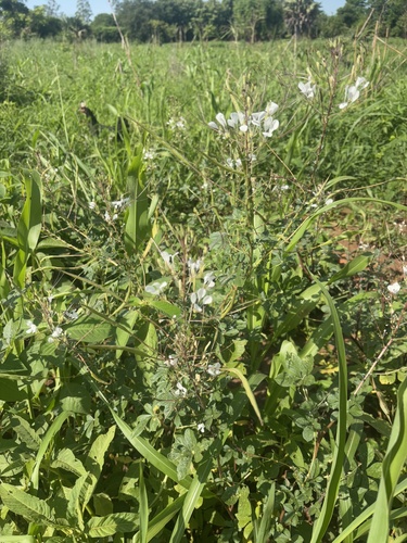
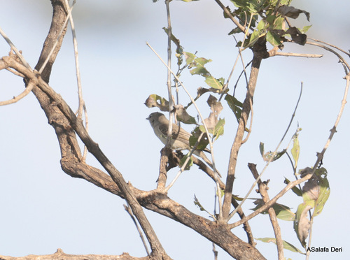
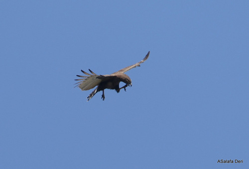
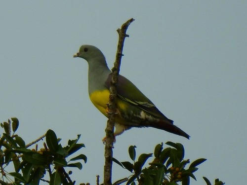
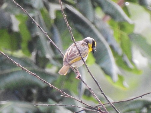
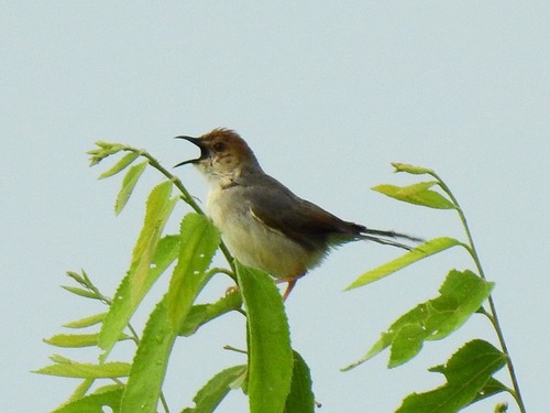
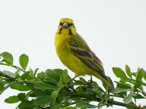
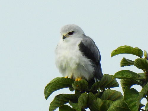
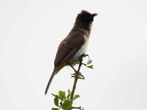
Research-grade observations from iNaturalist (within ~15 mi).
Events
Gallery
Sources
- • Wikidata
- • USGS Earthquake Catalog (global feed)
- • GBIF (Global Biodiversity Information Facility)
- • iNaturalist
- • Open-Meteo / sunrise-sunset.org