Browse / Uganda / Central / Lwengo
Lwengo
Centraltown
Demographic figures from Uganda Bureau of Statistics. Overview below cites Wikipedia and may reference a different year.
City facts
Facts from Wikidata (CC0).
Overview
Lwengo is a town in Central Uganda. It is the chief municipal, administrative and commercial center of Lwengo District. It was known as Mbiriizi, prior to 1 July 2010.
Read more on WikipediaHistory & geography
Geography
Coordinates & boundaries from the US Census TIGER/Line shapefiles.
Climate
Air quality
Walkability
Amenities nearby
Wildlife & biodiversity
Most-observed species
- Gray Crowned-CraneBalearica regulorum (E.T.Bennett, 1834) · Aves91
- Gray-backed FiscalLanius excubitoroides Prevost & Des Murs, 1847 · Aves57
- Hadada IbisBostrychia hagedash (Latham, 1790) · Aves49
- Lilac-breasted RollerCoracias caudatus Linnaeus, 1766 · Aves47
- African OpenbillAnastomus lamelligerus Temminck, 1823 · Aves41
- Red-eyed DoveStreptopelia semitorquata (Rüppell, 1837) · Aves40
- African JacanaActophilornis africanus (J.F.Gmelin, 1789) · Aves38
- Western SwamphenPorphyrio porphyrio (Linnaeus, 1758) · Aves37
Citizen-science & research observations from the Global Biodiversity Information Facility (GBIF).
Earthquake history
Most recent
- M 3.2 — 2021-02-2610 km SE of Masaka, Uganda
- M 4.3 — 2017-04-2922 km ENE of Kyaka, Tanzania
- M 5.9 — 2016-09-1027 km ENE of Nsunga, Tanzania
Events from the USGS Earthquake Catalog (global) (FDSN Event Web Service).
Photos
Sights & places nearby
Notable people from here


People born within ~10 km, from Wikidata (CC0). Click any name for their Wikipedia article.
Nearby places in Central
Geography & sun
Elevation, sunrise/sunset and daylight from Open-Meteo. Solar climatology from NASA POWER.
Nearby airports
Public attention
Pageview totals from the Wikimedia Pageviews API.
Books about this place
Recent natural events nearby
Ground air-quality sensors
Recently spotted species
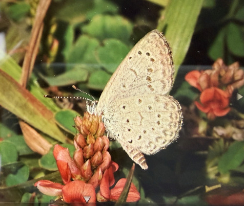
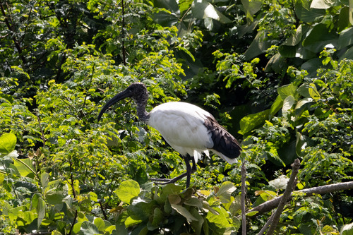
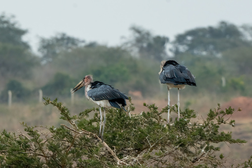
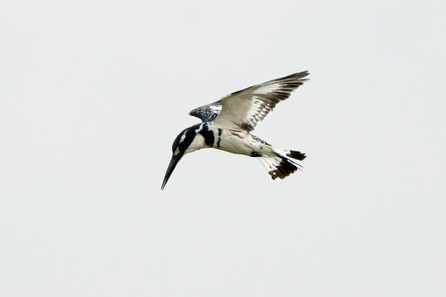
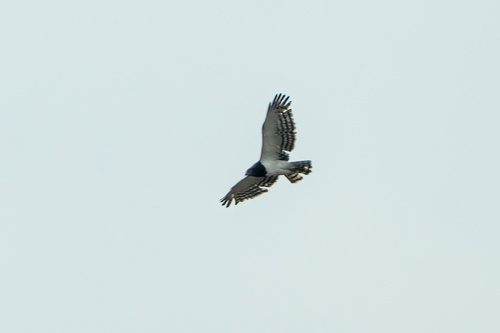
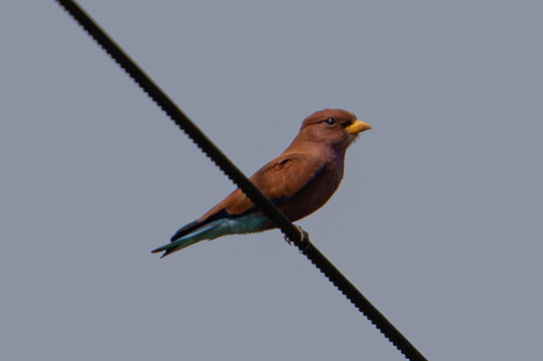
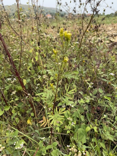
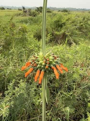
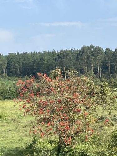
Research-grade observations from iNaturalist (within ~15 mi).
Events
Gallery
Sources
- • Wikipedia
- • Wikidata
- • USGS Earthquake Catalog (global feed)
- • GBIF (Global Biodiversity Information Facility)
- • iNaturalist
- • Open-Meteo / sunrise-sunset.org
- • Wikipedia Pageviews API