Browse / Uganda / Central / Lyantonde
Lyantonde
Centraltown

Lyantonde
Air quality index
Demographic figures from Uganda Bureau of Statistics. Overview below cites Wikipedia and may reference a different year.
City facts
Overview
Lyantonde is a town in the southern part of the Central Region of Uganda. It is the main municipal, administrative, and commercial center of Lyantonde District.
Read more on WikipediaHistory & geography
Geography
Coordinates & boundaries from the US Census TIGER/Line shapefiles.
Climate
Air quality
Current readings from Open-Meteo Air Quality API (Copernicus CAMS European reanalysis).
Walkability
Amenities nearby
Wildlife & biodiversity
Most-observed species
- Rüppell's StarlingLamprotornis purpuroptera Rüppell, 1845 · Aves799
- Common BulbulPycnonotus barbatus (Desfontaines, 1789) · Aves639
- Speckled MousebirdColius striatus J.F.Gmelin, 1789 · Aves560
- Ring-necked DoveStreptopelia capicola (Sundevall, 1857) · Aves549
- Black-headed GonolekLaniarius erythrogaster (Cretzschmar, 1829) · Aves472
- Red-eyed DoveStreptopelia semitorquata (Rüppell, 1837) · Aves444
- Little Bee-eaterMerops pusillus P.L.S.Müller, 1776 · Aves442
- Hadada IbisBostrychia hagedash (Latham, 1790) · Aves442
Citizen-science & research observations from the Global Biodiversity Information Facility (GBIF).
Earthquake history
Most recent
- M 3.2 — 2021-02-2610 km SE of Masaka, Uganda
- M 4.3 — 2017-04-2922 km ENE of Kyaka, Tanzania
- M 5.9 — 2016-09-1027 km ENE of Nsunga, Tanzania
Events from the USGS Earthquake Catalog (global) (FDSN Event Web Service).
Photos
Sights & places nearby
Notable people from here
Nearby places in Central
Geography & sun
Elevation, sunrise/sunset and daylight from Open-Meteo. Solar climatology from NASA POWER.
Nearby airports
Public attention
Pageview totals from the Wikimedia Pageviews API.
Books about this place
Recent natural events nearby
Ground air-quality sensors
Recently spotted species
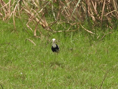
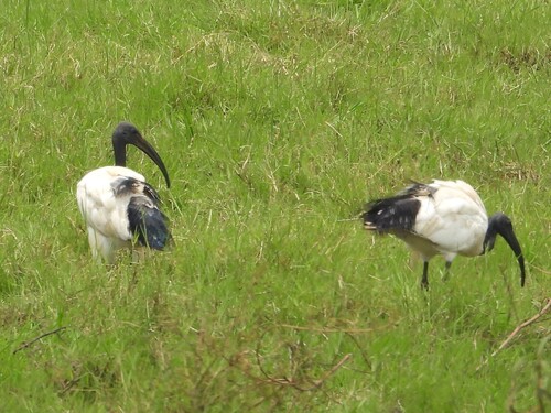
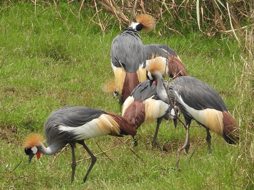
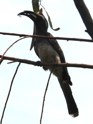
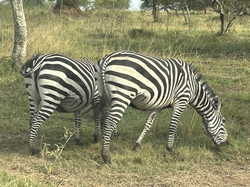
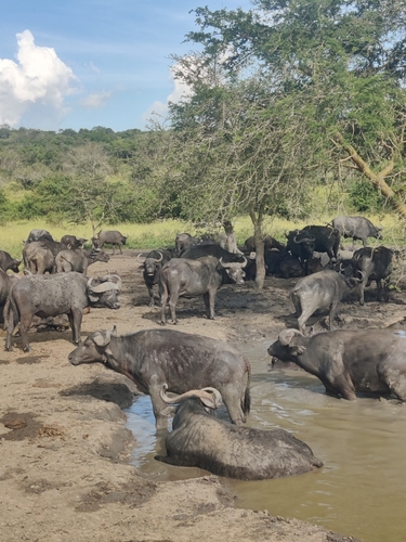


Research-grade observations from iNaturalist (within ~15 mi).
Events
Gallery
Sources
- • Wikipedia
- • Wikidata
- • Open-Meteo Air Quality (CAMS)
- • USGS Earthquake Catalog (global feed)
- • GBIF (Global Biodiversity Information Facility)
- • iNaturalist
- • Open-Meteo / sunrise-sunset.org
- • Wikipedia Pageviews API