Browse / Uganda / Eastern / Malaba
Malaba
Easterntown
Demographic figures from Uganda Bureau of Statistics. Overview below cites Wikipedia and may reference a different year.
City facts
Facts from Wikidata (CC0).
Overview
Malaba, Uganda is a town in Tororo District in the Eastern Region of Uganda, on its eastern border with Kenya. It sits adjacent from Malaba, Kenya, across the Malaba River that marks the border between Uganda and Kenya.
Read more on WikipediaHistory & geography
Geography
Coordinates & boundaries from the US Census TIGER/Line shapefiles.
Climate
Air quality
Walkability
Amenities nearby
Wildlife & biodiversity
Most-observed species
- Common BulbulPycnonotus barbatus (Desfontaines, 1789) · Aves371
- Bronze mannikinLonchura cucullata (Swainson, 1837) · Aves327
- Scarlet-chested SunbirdChalcomitra senegalensis (Linnaeus, 1766) · Aves300
- Red-cheeked CordonbleuUraeginthus bengalus (Linnaeus, 1766) · Aves277
- Speckled MousebirdColius striatus J.F.Gmelin, 1789 · Aves273
- Red-eyed DoveStreptopelia semitorquata (Rüppell, 1837) · Aves244
- Green-backed CamaropteraCamaroptera brachyura (Vieillot, 1821) · Aves243
- Yellow-fronted CanaryCrithagra mozambica (P.L.Statius Müller, 1776) · Aves237
Citizen-science & research observations from the Global Biodiversity Information Facility (GBIF).
Earthquake history
Photos
Sights & places nearby
Notable people from here
Nearby places in Eastern
Geography & sun
Elevation, sunrise/sunset and daylight from Open-Meteo. Solar climatology from NASA POWER.
Nearby airports
Public attention
Pageview totals from the Wikimedia Pageviews API.
Books about this place
Recent natural events nearby
Ground air-quality sensors
Recently spotted species
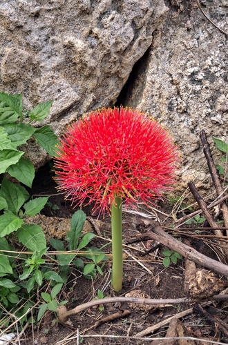
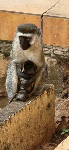
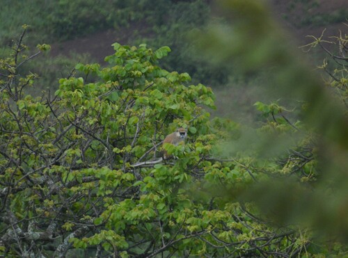
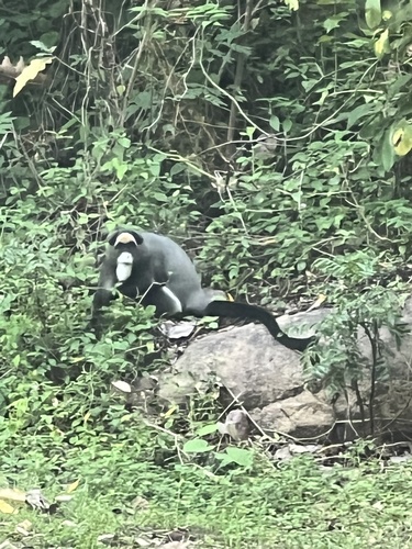
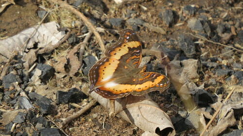
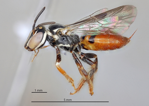
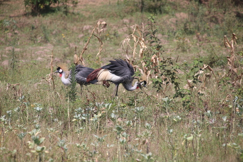
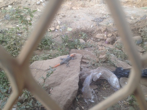
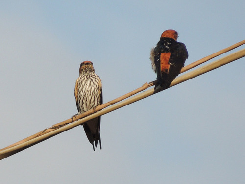
Research-grade observations from iNaturalist (within ~15 mi).
Events
Gallery
Sources
- • Wikipedia
- • Wikidata
- • GBIF (Global Biodiversity Information Facility)
- • iNaturalist
- • Open-Meteo / sunrise-sunset.org
- • Wikipedia Pageviews API