Browse / Uganda / Central / Ndejje
Ndejje
Centraltown

Featured view
Ndejje
Elevation1240 m
Coordinates0.60°, 32.48°
Demographic figures from Uganda Bureau of Statistics. Overview below cites Wikipedia and may reference a different year.
Loading additional data from public sources…0 / 11
CensusWikipediaWeatherPlacesPeopleEnvironmentHealth & SchoolsRelatedGeography & CultureLive MonitoringEvents & Gallery
0% completeCity facts
Elevation
1240 m
Facts from Wikidata (CC0).
Overview
Ndejje is a hill in Central Uganda. The hill rises 1,240 metres (4,070 ft) above sea level. Ndejje also refers to the trading center that has developed along the southern slopes of Ndejje Hill.
Read more on WikipediaHistory & geography
Geography
Latitude
0.6042
Longitude
32.4753
Water area
—
Coordinates & boundaries from the US Census TIGER/Line shapefiles.
Climate
Air quality
Walkability
Amenities nearby
Wildlife & biodiversity
Earthquake history
Photos
Sights & places nearby
Notable people from here

People born within ~10 km, from Wikidata (CC0). Click any name for their Wikipedia article.
Nearby places in Central
Geography & sun
Avg solar (kWh/m²/day)
5.34
Annual solar (kWh/m²)
1,949
Elevation, sunrise/sunset and daylight from Open-Meteo. Solar climatology from NASA POWER.
Nearby airports
Public attention
Wikipedia views (last 30 days)
94
Avg daily Wikipedia views
3
Attention level
Obscure
Pageview totals from the Wikimedia Pageviews API.
Books about this place
Recent natural events nearby
Ground air-quality sensors
Recently spotted species
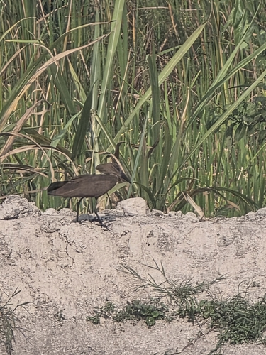
Hamerkop
Scopus umbretta
Seen 2026-07-05
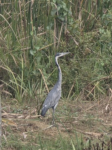
Black-headed Heron
Ardea melanocephala
Seen 2026-07-05
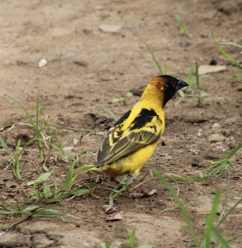
Village Weaver
Ploceus cucullatus
Seen 2026-05-13
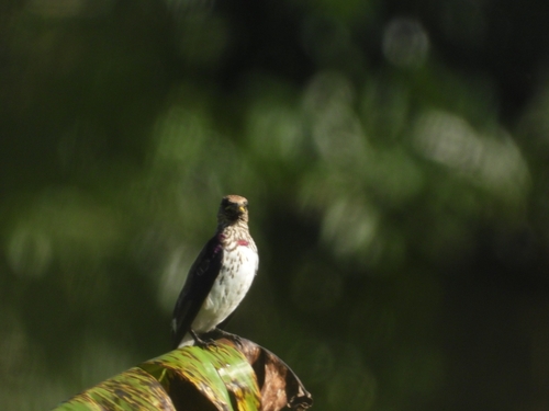
Violet-backed Starling
Cinnyricinclus leucogaster
Seen 2026-05-09
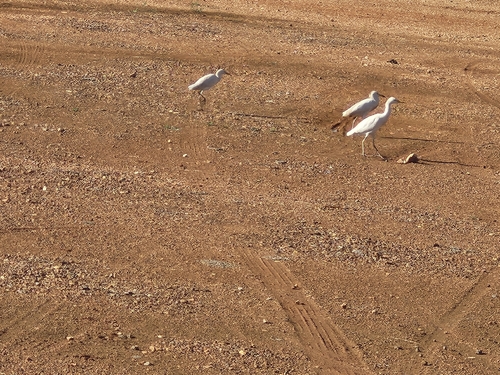
Western Cattle-Egret
Ardea ibis
Seen 2026-04-30
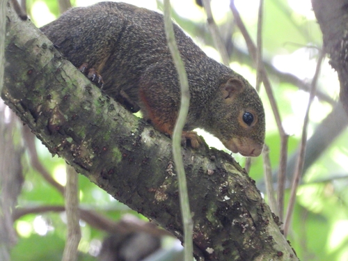
Red-legged Sun Squirrel
Heliosciurus rufobrachium
Seen 2026-04-30
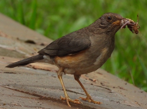
African Thrush
Turdus pelios
Seen 2026-03-19
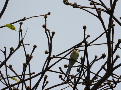
White-throated Bee-eater
Merops albicollis
Seen 2026-02-08
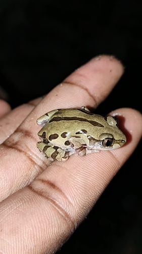
Senegal Running Frog
Kassina senegalensis
Seen 2025-12-03
Research-grade observations from iNaturalist (within ~15 mi).
Events
Gallery
Sources
- • Wikipedia
- • Wikidata
- • iNaturalist
- • Open-Meteo / sunrise-sunset.org
- • Wikipedia Pageviews API