Browse / Uganda / Northern / Paidha
Paidha
Northerntown

Paidha
Demographic figures from Uganda Bureau of Statistics. Overview below cites Wikipedia and may reference a different year.
City facts
Facts from Wikidata (CC0).
Overview
Paidha is a town in Zombo District, in theWestNile sub- region in Northern Region of Uganda. It is an administrative and commercial centre near the international border with the Democratic Republic of the Congo(DRC). The town serves surrounding agricultural communities and participates in cross- border trade between Uganda and the DRC.
Read more on WikipediaHistory & geography
History
On 13 February 1965, Paidha and Goli were bombed by the Congolese Air Force in retaliation for the support of the Ugandan government for Simba rebels. The attack caused minimal damage. Paidha is also known for Got Aminzi, and also the best town in Uganda where Rubutsa coffee are grow.
Geography
Paidha is in Zombo District, West Nile sub-region. The town is near the border with the Democratic Republic of the Congo. It is approximately , by road, south of Arua, the largest city in the sub-region. This is approximately , by road, southwest of Gulu, the largest city in the Northern Region of Uganda. Zombo, the town where the district headquarters are located, is approximately , by road, northwest of Paidha. The coordinates of Paidha are 2°25'00.0"N, 30°59'15.0"E (Latitude:2.416667; Longitude:30.987500).
Excerpted from the corresponding Wikipedia article (CC BY-SA).
Geography
Coordinates & boundaries from the US Census TIGER/Line shapefiles.
Climate
Air quality
Walkability
Amenities nearby
Wildlife & biodiversity
Most-observed species
- Pied CrowCorvus albus Statius Muller, 1776 · Aves5
- Long-crested EagleLophaetus occipitalis (Daudin, 1800) · Aves3
- Common BulbulPycnonotus barbatus (Desfontaines, 1789) · Aves3
- Speckled PigeonColumba guinea Linnaeus, 1758 · Aves3
- African Pied WagtailMotacilla aguimp Temminck, 1820 · Aves3
- Crested FrancolinOrtygornis sephaena (A.Smith, 1836) · Aves2
- Swallow-tailed Bee-eaterMerops hirundineus A.A.H.Lichtenstein, 1793 · Aves2
- Abyssinian Ground-HornbillBucorvus abyssinicus (Boddaert, 1783) · Aves2
Citizen-science & research observations from the Global Biodiversity Information Facility (GBIF).
Earthquake history
Most recent
- M 4.3 — 2023-04-0823 km SSW of Buliisa, Uganda
- M 4.3 — 2022-02-1655 km W of Kigorobya, Uganda
- M 4.2 — 2021-03-2011 km ENE of Nebbi, Uganda
- M 4.5 — 2020-06-0847 km W of Kigorobya, Uganda
- M 4.5 — 2019-04-0322 km NW of Kigorobya, Uganda
- M 4.8 — 2019-01-0544 km SSE of Yumbe, Uganda
Events from the USGS Earthquake Catalog (global) (FDSN Event Web Service).
Photos
Sights & places nearby
Notable people from here
Nearby places in Northern
Geography & sun
Elevation, sunrise/sunset and daylight from Open-Meteo. Solar climatology from NASA POWER.
Nearby airports
Public attention
Pageview totals from the Wikimedia Pageviews API.
Books about this place
Recent natural events nearby
Ground air-quality sensors
Recently spotted species
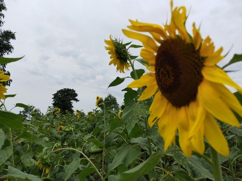
Research-grade observations from iNaturalist (within ~15 mi).
Events
Gallery
Sources
- • Wikipedia
- • Wikidata
- • USGS Earthquake Catalog (global feed)
- • GBIF (Global Biodiversity Information Facility)
- • iNaturalist
- • Open-Meteo / sunrise-sunset.org
- • Wikipedia Pageviews API