Browse / Uganda / Eastern / Tororo
Tororo
Easterntown

Tororo
Demographic figures from Uganda Bureau of Statistics. Overview below cites Wikipedia and may reference a different year.
City facts
Facts from Wikidata (CC0).
Overview
Tororo is a town in the Eastern Region of Uganda. It is the main municipal, administrative, and commercial center of Tororo District.
Read more on WikipediaHistory & geography
History
Tororo was garrisoned by the Uganda Army's Air and Sea Battalion during the Uganda–Tanzania War (1978–79). On 2 March 1979, rebels loyal to Milton Obote attacked the town, whereupon part of the garrison defected while the rest was routed. Tororo was recaptured by the Uganda Army in a counterattack two days later; many local civilians were displaced by the fighting. A few weeks later, however, Ugandan President Idi Amin's rule throughout Uganda collapsed and the garrison of Tororo reportedly mutinied yet again. In late April 1979, the Tanzania People's Defence Force's (TPDF) 19th Battalion, 208th Brigade, moved into Tororo. They encountered no resistance. The town was largely deserted and completely looted. Journalists Tony Avirgan and Martha Honey stated that the local UA garrison had fled the city, whereas Tom Cooper and Adrien Fontanellaz claimed that the mutinous troops helped the anti-Amin forces to secure the town. Tororo was captured by the National Resistance Army from the Uganda National Liberation Army (UNLA) in early February 1986 during the Ugandan Bush War. The UNLA counter-attacked in an attempt to retake Tororo and turn the tide in the war, but was repelled.
Geography
The town is approximately west of the town of Malaba at the border between Uganda and Kenya. This is approximately , by road, east of Kampala, Uganda's capital and largest city. The geographical coordinates of the town are 0°41'34.0"N, 34°10'54.0"E (Latitude:0.692780; Longitude:34.181655). Tororo town lies at an average elevation of above sea level. Tororo has a tropical monsoon climate with a short dry season. The average annual temperature is (average high and average low ). Average annual precipitation is . Tororo has many thunderstorms and may be the place where thunder occurs on more days than any other place on Earth. From September to December there is rain most days in the late afternoon. The drier and hotter season starts in December.
Excerpted from the corresponding Wikipedia article (CC BY-SA).
Geography
Coordinates & boundaries from the US Census TIGER/Line shapefiles.
Climate
Air quality
Walkability
Amenities nearby
Wildlife & biodiversity
Earthquake history
Photos
Sights & places nearby
Notable people from here


People born within ~10 km, from Wikidata (CC0). Click any name for their Wikipedia article.
Nearby places in Eastern
Geography & sun
Elevation, sunrise/sunset and daylight from Open-Meteo. Solar climatology from NASA POWER.
Nearby airports
Public attention
Pageview totals from the Wikimedia Pageviews API.
Books about Tororo
Search results from Open Library.
Recent natural events nearby
Ground air-quality sensors
Recently spotted species
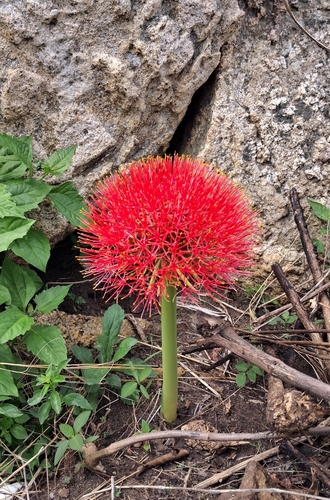
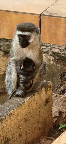
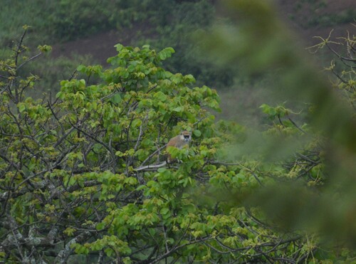
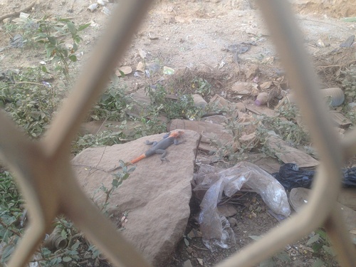
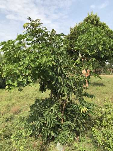
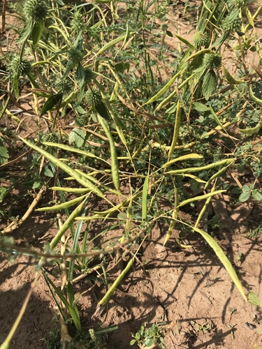
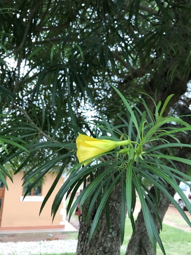
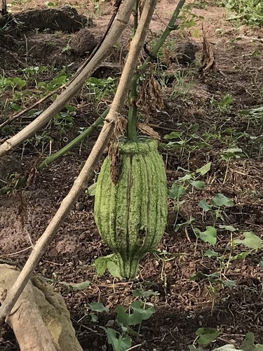
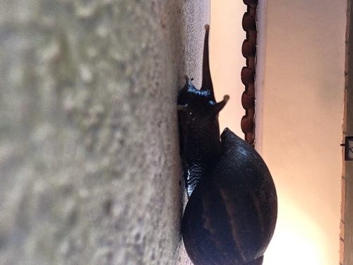
Research-grade observations from iNaturalist (within ~15 mi).
Events
Gallery
Sources
- • Wikipedia
- • Wikidata
- • iNaturalist
- • Open-Meteo / sunrise-sunset.org
- • Wikipedia Pageviews API
- • Open Library