Browse / United Kingdom / Wales / Aberdyfi
Aberdyfi
Walesvillage

Aberdyfi
Demographic figures from UK Office for National Statistics. Overview below cites Wikipedia and may reference a different year.
City facts
Facts from Wikidata (CC0).
Overview
Aberdyfi, also known as Aberdovey, is a village and community in Gwynedd, Wales, located on the northern side of the estuary of the River Dyfi.
Read more on WikipediaHistory & geography
History
Local tradition suggests that the Romans established a track into the area as part of the military occupation of Wales around AD78. The strategic location in mid-Wales was the site of several conferences between north and south Wales princes in 540, 1140, and for the Council of Aberdyfi in 1216. The hill in the centre of the village, Pen-y-Bryn, has been claimed to be the site of fortifications in the 1150s, which were soon destroyed. During the Spanish Armada of 1597, a Spanish ship, the Bear of Amsterdam, missed her objective at Milford Haven and ended up having accidentally entered the Dyfi estuary. She was unable to leave for 10 days because of the wind and could not be boarded as no suitable boats were available. In the 1700s, the village grew with the appearance of several of the inns still in current use (The Dovey Hotel, Britannia and Penhelig Arms). Copper was mined in the present Copperhill Street, and lead in Penhelig (). In the 1800s, Aberdyfi was at its peak as a port. Major exports were slate and oak bark. Ship building was based in seven shipyards in Penhelig where 45 sailing ships were built between 1840 and 1880. A jetty was built in 1887, with railway lines connecting it with the wharf and the main line. The Aberdyfi & Waterford Steamship Company imported livestock from Ireland which were then taken further by the railway. Coal, limestone and timber were also imported. Local coastal shipping links with Liverpool were strong, with many Aberdyfi men sailing on international voyages from Liverpool. The was one of the last ships trading between Aberdyfi and Liverpool and was scuttled, with no loss of life, by a German submarine in 1917. Many of their activities involve the river, boats and jetty. The village's first lifeboat was bought in 1837.…
Excerpted from the corresponding Wikipedia article (CC BY-SA).
Geography
Coordinates & boundaries from the US Census TIGER/Line shapefiles.
Climate
Air quality
Walkability
Amenities nearby
Wildlife & biodiversity
Earthquake history
Photos
Sights & places nearby
Notable people from here


People born within ~10 km, from Wikidata (CC0). Click any name for their Wikipedia article.
Geography & sun
Elevation, sunrise/sunset and daylight from Open-Meteo. Solar climatology from NASA POWER.
Nearby airports
Public attention
Pageview totals from the Wikimedia Pageviews API.
Books about Aberdyfi
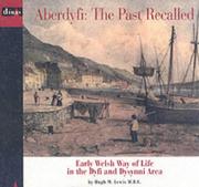
Search results from Open Library.
Recent natural events nearby
Ground air-quality sensors
Recently spotted species
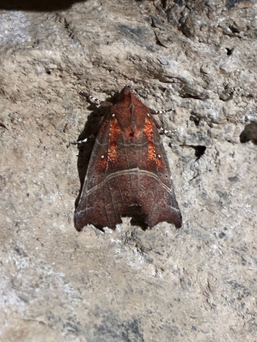
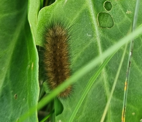
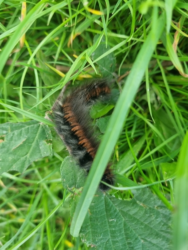
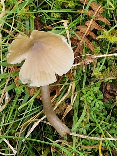
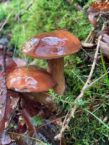
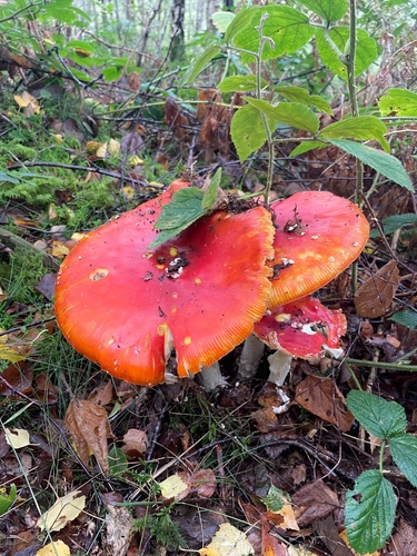
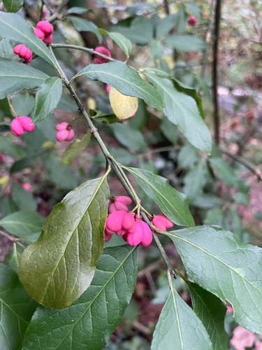
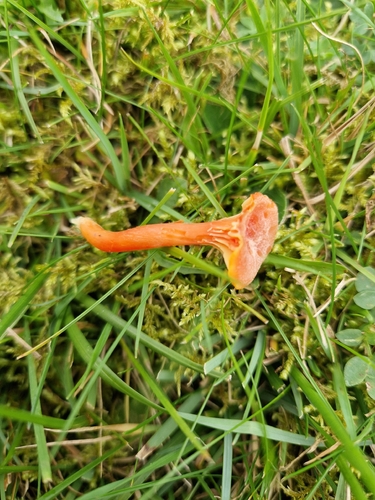
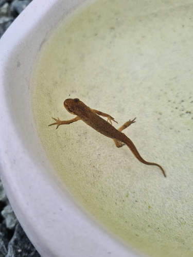
Research-grade observations from iNaturalist (within ~15 mi).
Events
Gallery
Sources
- • Wikipedia
- • Wikidata
- • iNaturalist
- • Open-Meteo / sunrise-sunset.org
- • Wikipedia Pageviews API
- • Open Library