Browse / United Kingdom / Wales / Aberystwyth
Aberystwyth
Walestown

Aberystwyth
Total population
13,040
Founded
1109
Demographic figures from UK Office for National Statistics. Overview below cites Wikipedia and may reference a different year.
City facts
Sister cities
Facts from Wikidata (CC0).
Overview
Aberystwyth is a university and seaside town and a community in Ceredigion, Wales. It is the largest town in Ceredigion and 16 miles (26 km) from Aberaeron, the county's other administrative centre. In 2021, the population of the town was 14,640.
Read more on WikipediaHistory & geography
History
There is evidence that during the Mesolithic Age the area of Tan-y-Bwlch at the foot of Pen Dinas (Penparcau) was used as a flint knapping floor for hunter-gatherers making weapons from flint that was deposited as the ice retreated. The remains of a Celtic fortress on Pen Dinas (or more correctly 'Dinas Maelor'), a hill in Penparcau overlooking Aberystwyth, indicates that the site was inhabited before 700 BC. On a hill south of the present town, across the River Ystwyth, are the remains of a medieval ringfort believed to be the castle from which Princess Nest was abducted. This rare survival is now on private land and can only be accessed by arrangement. The recorded history of Aberystwyth may be said to date from the building of a fortress in 1109 by Gilbert Fitz Richard (grandfather of Richard de Clare, known as Strongbow, the Cambro-Norman lord notable for his leading role in the Norman invasion of Ireland). Gilbert Fitz Richard was granted lands and the lordship of Cardigan by Henry I, including Cardigan Castle. The fortress built in Aberystwyth was located about a mile and a half south of today's town, on a hill over the south bank of the Ystwyth River, thus giving the settlement of Aberystwyth its name. The location is now known as Tan-Y-Castell. Aberystwyth was usually under the control of the princes of Deheubarth, but its position close to the border with Gwynedd and Powys left it vulnerable to attacks from the leaders of those polities. The town was attacked by Gwenwynwyn ab Owain in 1197, an assault in which Maelgwn ap Rhys was captured. Llywelyn the Great attacked and seized the town in late 1208, building a castle there before withdrawing. Edward I replaced Strongbow's castle in 1277, after its destruction by the Welsh. His castle was, however, built…
Geography
Penglais Nature Park () is a woodland overlooking the town. The park was created in 1995 from a disused quarry and surrounding woodland that had formerly been part of the Richardes family estate. In spring, a carpet of bluebells bloom, in common with the many other bluebell woods. The park covers . It was the first nature reserve to open in Ceredigion and is the only UNESCO Man and Biosphere urban reserve in Wales. Aberystwyth experiences an oceanic climate (Köppen climate classification Cfb) similar to almost all of the United Kingdom. This is particularly pronounced due to its west coast location facing the Irish Sea. Air undergoes little land moderation and so temperatures closely reflect the sea temperature when winds are coming from the predominant onshore (westerly) direction. The nearest Met Office weather station is Gogerddan, to the north-east,and at a similar elevation. The absolute maximum temperature is , set during July 2022. Typically, the warmest day will average and 5.6 days will achieve at least . The absolute minimum temperature is , set in December 1981. Typically 38.8 days will register an air frost. with over 1mm recorded on 163 days. |date=July 2025}}
Excerpted from the corresponding Wikipedia article (CC BY-SA).
Geography
Coordinates & boundaries from the US Census TIGER/Line shapefiles.
Climate
Air quality
Walkability
Amenities nearby
Wildlife & biodiversity
Earthquake history
Photos
Sights & places nearby
Notable people from here


People born within ~10 km, from Wikidata (CC0). Click any name for their Wikipedia article.
Nearby places in Wales
Geography & sun
Elevation, sunrise/sunset and daylight from Open-Meteo. Solar climatology from NASA POWER.
Nearby airports
Public attention
Pageview totals from the Wikimedia Pageviews API.
Books about Aberystwyth

![[Report 1968]](https://covers.openlibrary.org/b/id/13381726-M.jpg)
![[Report 1966]](https://covers.openlibrary.org/b/id/7952525-M.jpg)
Search results from Open Library.
Recent natural events nearby
Ground air-quality sensors
Recently spotted species
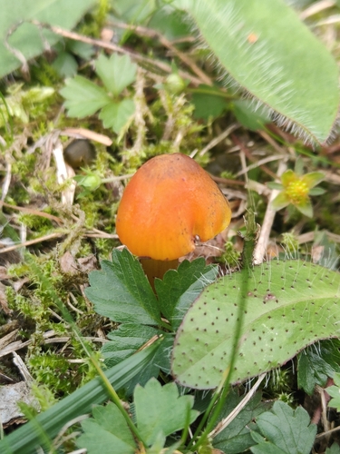
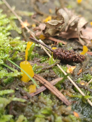
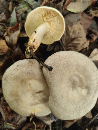
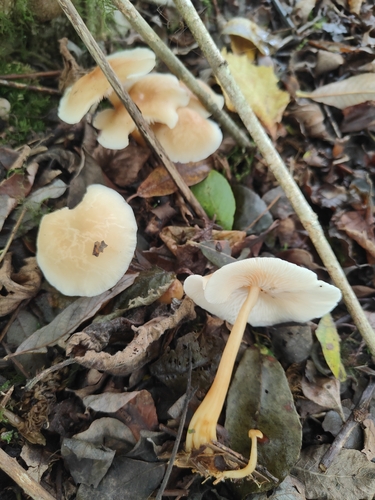
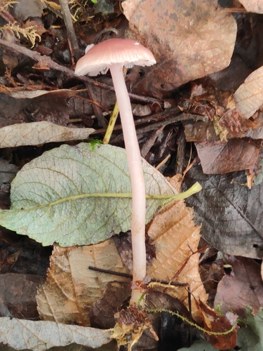
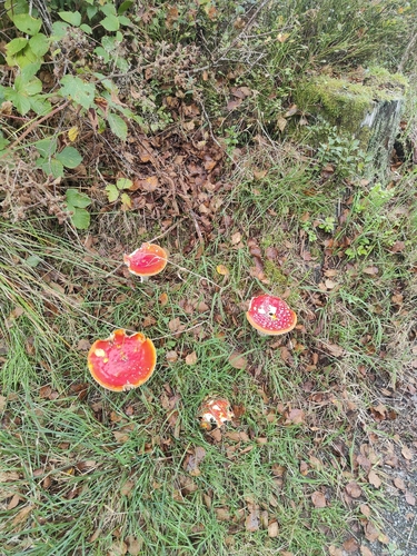

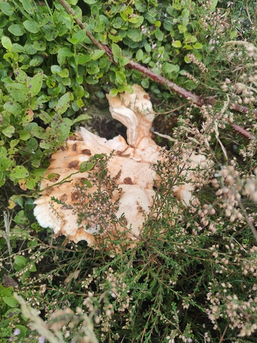

Research-grade observations from iNaturalist (within ~15 mi).
Events
Notable, recurring, and historical events associated with Aberystwyth, sourced from Wikidata.
- Jan 1, 2014
- Jan 1, 1969
- Jan 1, 1938
- Jan 1, 1925
Source: Wikidata (CC0).
Gallery
Official Identifiers
ONS — UK Office for National Statistics
- ONS code
- osgb4000000074568537
- Local type
- Town
- Region
- Wales
api.postcodes.io / OS Open Names
Sources
- • Wikipedia
- • Wikidata
- • iNaturalist
- • Open-Meteo / sunrise-sunset.org
- • Wikipedia Pageviews API
- • Open Library
- • Wikidata SPARQL (CC0) — population, area, elevation, inception, head of government, Commons image
- • ONS / OS Open Names — UK official place gazetteer, via api.postcodes.io (OS code, local type, county/unitary, district/borough, region)
- • ONS — UK Office for National Statistics — api.postcodes.io / OS Open Names