Browse / United Kingdom / Scotland / Aboyne
Aboyne
Scotlandtown

Aboyne
Total population
2,937
Demographic figures from UK Office for National Statistics. Overview below cites Wikipedia and may reference a different year.
City facts
Sister cities
Facts from Wikidata (CC0).
Overview
Aboyne is a village on the edge of the Highlands in Aberdeenshire, Scotland, on the River Dee, approximately 30 miles (48 km) west of Aberdeen. It has a swimming pool at Aboyne Academy, all-weather tennis courts, a bowling green and is home to the oldest 18 hole golf course on Royal Deeside. Aboyne Castle and the Loch of Aboyne are nearby.
Read more on WikipediaHistory & geography
History
The name "Aboyne" is derived from "Oboyne", first recorded in 1260, in turn derived from the Gaelic words "abh", "bo", and "fionn", meaning "[place by] white cow river". The village of Aboyne was founded by Charles Gordon, 1st Earl of Aboyne in 1671, who, in the same year, rebuilt the west wing of Aboyne Castle. The siting of the castle itself is related to the limited number of the crossings of the Mounth of the Grampian Mountains to the south. In 1715 Aboyne was the scene of a tinchal, or great hunt, organised by John Erskine, sixth Earl of Mar, on 3 September, as a cover for the gathering of Jacobite nobles and lairds to discuss a planned Jacobite rising. The uprising began three days later in Braemar. The former Aboyne Public School was used as a secondary school to the local area, but was notably used during WWII as an evacuee station for those coming from Glasgow. Local Aboyne children were educated in the morning and the evacuee children were educated in the afternoon. Any overflow evacuees were passed on to the nearby church hall, and as many as 1,250 were evacuated to the Deeside area in 1939.
Excerpted from the corresponding Wikipedia article (CC BY-SA).
Geography
Coordinates & boundaries from the US Census TIGER/Line shapefiles.
Climate
Air quality
Walkability
Amenities nearby
Wildlife & biodiversity
Earthquake history
Photos
Sights & places nearby
Notable people from here
Nearby places in Scotland
Geography & sun
Elevation, sunrise/sunset and daylight from Open-Meteo. Solar climatology from NASA POWER.
Nearby airports
Public attention
Pageview totals from the Wikimedia Pageviews API.
Books about Aboyne


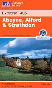
Search results from Open Library.
Recent natural events nearby
Ground air-quality sensors
Recently spotted species
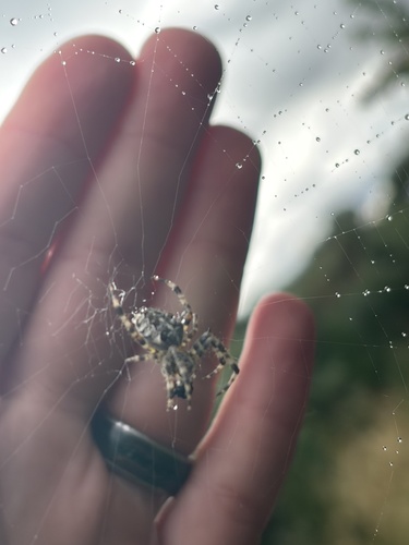
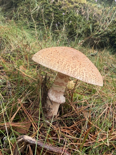
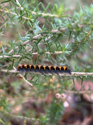
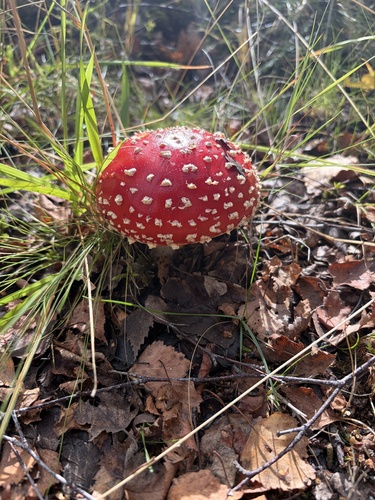
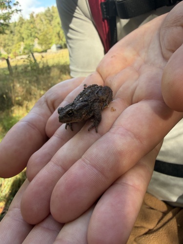
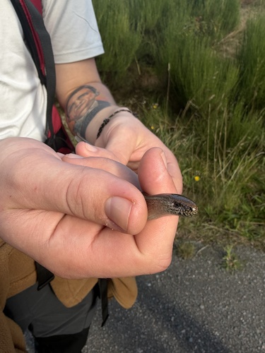
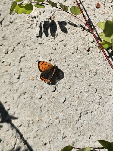
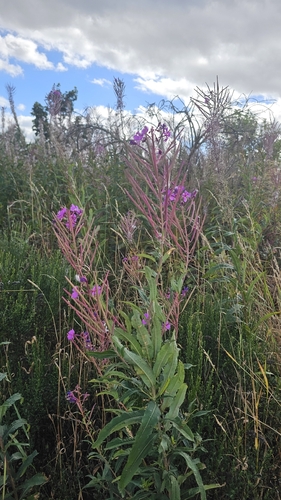
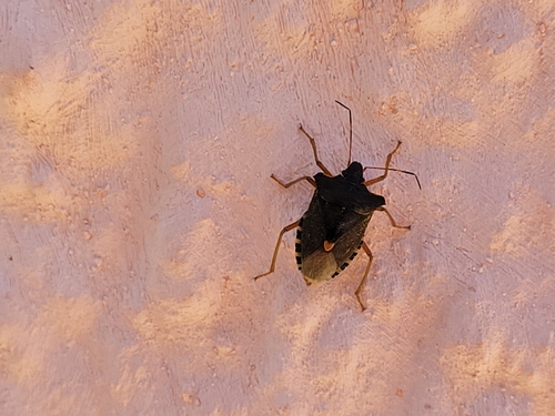
Research-grade observations from iNaturalist (within ~15 mi).
Events
Gallery
Official Identifiers
ONS — UK Office for National Statistics
- ONS code
- osgb4000000074542861
- Local type
- Village
- Region
- Scotland
api.postcodes.io / OS Open Names
Sources
- • Wikipedia
- • Wikidata
- • iNaturalist
- • Open-Meteo / sunrise-sunset.org
- • Wikipedia Pageviews API
- • Open Library
- • ONS / OS Open Names — UK official place gazetteer, via api.postcodes.io (OS code, local type, county/unitary, district/borough, region)
- • ONS — UK Office for National Statistics — api.postcodes.io / OS Open Names