Browse / United Kingdom / England / Adderbury
Adderbury
Englandvillage

Adderbury
Total population
2,819
Demographic figures from UK Office for National Statistics. Overview below cites Wikipedia and may reference a different year.
City facts
Facts from Wikidata (CC0).
Overview
Adderbury is a linear village and rural civil parish located in Oxfordshire, England, 4 miles south of Banbury and 3 miles north of Deddington. As of the 2021 census, Adderbury has a population of 3,318. Its name comes from Anglo-Saxon Eadburgesbyrig or Edburgberie, meaning "Eadburg's town", honoring Saint Eadburga, a daughter of the 7th-century King of Mercia.
Read more on WikipediaHistory & geography
History
Adderbury is an ancient village, with reference to Æthelstan granting land here to the Bishop of Winchester in 1014. Adderbury is noted for the many honey-coloured limestone cottages and houses in the older parts of the village. East Adderbury's manor house is 16th-century and features diamond-patterned brick chimney-stacks. The Grange, also in East Adderbury, was built by John Bloxham of Banbury for Sir Thomas Cobb, first Baronet of Banbury, in 1684. Near St Mary's Parish Church is a tithe barn that was built for New College, Oxford. In the 1970s Jennifer Sherwood dated it mainly to the 14th century but English Heritage dates the earliest parts of the building to 1422. The walls are of ashlar marlstone and the roof is of Stonesfield slate. In the 17th century the barn was reduced to its present length of five bays and partly rebuilt. In about 1877 it was altered for Lawrence Palk, 1st Baron Haldon. The barn has similarities with tithe barns at Swalcliffe and Upper Heyford, both of which were also built for New College early in the 15th century. Because of its post-Medieval alterations it is only a Grade II listed building. Major Larnach of Adderbury House's horse Jeddah won the Epsom Derby at odds of 100–1 and also won at Ascot. The Major paid for the building of the Village Institute which opened in 1898.
Excerpted from the corresponding Wikipedia article (CC BY-SA).
Geography
Coordinates & boundaries from the US Census TIGER/Line shapefiles.
Climate
Air quality
Walkability
Amenities nearby
Wildlife & biodiversity
Earthquake history
Photos
Sights & places nearby
Notable people from here


People born within ~10 km, from Wikidata (CC0). Click any name for their Wikipedia article.
Geography & sun
Nearby airports
Public attention
Books about this place
Recent natural events nearby
Ground air-quality sensors
Recently spotted species
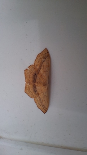
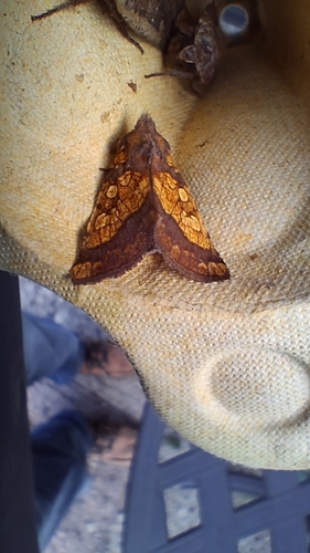
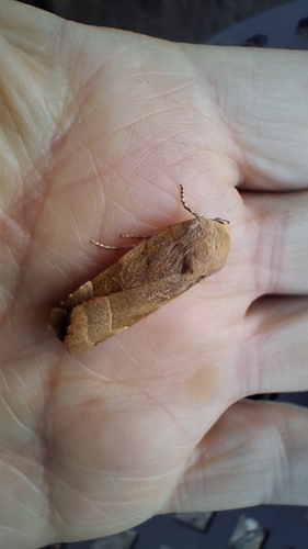
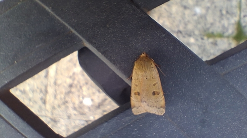
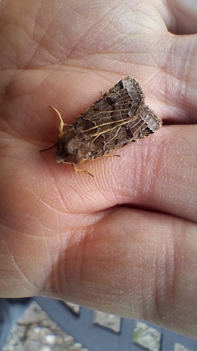
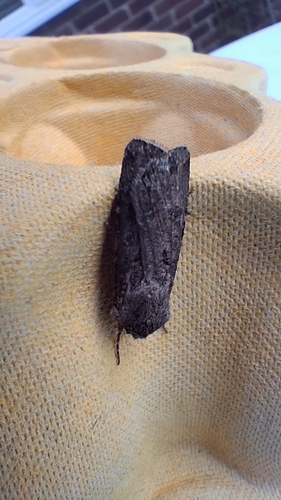
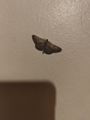
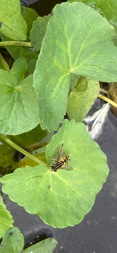
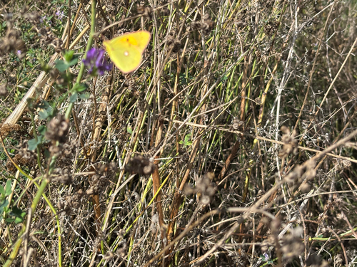
Research-grade observations from iNaturalist (within ~15 mi).
Events
Gallery
Official Identifiers
ONS — UK Office for National Statistics
- ONS code
- osgb4000000074565624
- Local type
- Village
- Region
- South East
api.postcodes.io / OS Open Names
Sources
- • Wikipedia
- • Wikidata
- • iNaturalist
- • ONS / OS Open Names — UK official place gazetteer, via api.postcodes.io (OS code, local type, county/unitary, district/borough, region)
- • ONS — UK Office for National Statistics — api.postcodes.io / OS Open Names