Browse / United Kingdom / England / Altrincham
Altrincham
Englandtown

Altrincham
Total population
52,419
Air quality index
Demographic figures from UK Office for National Statistics. Overview below cites Wikipedia and may reference a different year.
City facts
Facts from Wikidata (CC0).
Overview
Altrincham is a market town in the Metropolitan Borough of Trafford, Greater Manchester, England. It is located south of the River Mersey, 8 miles (13 km) south-west of Manchester, 3 miles (5 km) south-west of Sale and 10 miles (16 km) east of Warrington. At the 2021 census, the built up area had a population of 49,680.
Read more on WikipediaHistory & geography
History
Local evidence of prehistoric human activity exists in the form of two Neolithic arrowheads found in Altrincham and, further afield, a concentration of artefacts around Dunham. The remains of a Roman road, part of one of the major Roman roads in North West England connecting the legionary fortresses of Chester (Deva Victrix) and York (Eboracum), run through the Broadheath area. As it shows signs of having been repaired, the road was in use for a considerable period of time. The town's name first appears as Aldringeham, probably meaning "homestead of Aldhere's people". As recently as the 19th century, it was spelt both Altrincham and Altringham. Until the Normans invaded England, the manors surrounding Altrincham were owned by the Saxon thegn Alweard; after the invasion they became the property of Hamon de Massey, though Altrincham is not mentioned in the Domesday Book of 1086. The earliest documented reference to the town is from 1290, when it was granted its charter as a 'free borough' by Baron Hamon de Massey V. The charter, which still exists and is held by Trafford Council, allowed a weekly market to be held, and it is possible that de Massey established the town to generate income through taxes on trade and tolls. Altrincham was probably chosen as the site of the planned town rather than Dunham, which would have been protected by Dunham Castle, because its good access to roads was important for trade. Altrincham Fair became St James's Fair, or Samjam, in 1319 and continued until 1895. Fair days had their own court of Pye Powder (a corruption of the French for "dusty feet"), presided over by the mayor and held to settle disputes arising from the day's dealings. By 1348, the town had 120 burgage plots (ownership of land used as a measure of status and importance…
Geography
Altrincham lies on the south-western edge of the Greater Manchester Urban Area, immediately south of Sale and south-west of Manchester city centre. It lies in the north-west corner of the Cheshire Plain, just south of the River Mersey. The Bridgewater Canal passes through the Broadheath area of the town. Altrincham's drinking water is supplied by United Utilities. The local bedrock consists mainly of Keuper Waterstone, a type of sandstone, and water retrieved from those rocks is very hard and often saline, making it undrinkable. The town's climate is generally temperate, with few extremes of temperature or weather. The mean temperature is slightly above average for the United Kingdom, whereas both annual rainfall and average hours of sunshine are slightly below the average for the UK. Along with Sale, Stretford and Urmston, Altrincham is one of the four major urban areas in Trafford. The Altrincham area, as defined by Trafford Council, comprises the south of Trafford. In addition to the town of Altrincham, it includes the villages of Timperley, Bowdon, Hale and Hale Barns. The Broadheath area of the town was a light industrial centre until the 1970s and is now a retail park. The most densely populated part of the town is around the town centre, with the less populated areas and more green space further from the centre of town in villages such as Bowdon and Hale. The Oldfield Brow area lies on the outskirts of the town beside the Bridgewater Canal and close to Dunham Massey.
Excerpted from the corresponding Wikipedia article (CC BY-SA).
Geography
Coordinates & boundaries from the US Census TIGER/Line shapefiles.
Climate
Air quality
Current readings from Open-Meteo Air Quality API (Copernicus CAMS European reanalysis).
Walkability
Amenities nearby
Wildlife & biodiversity
Most-observed species
- Common Wood-PigeonColumba palumbus Linnaeus, 1758 · Aves24,932
- Eurasian MagpiePica pica (Linnaeus, 1758) · Aves22,831
- European RobinErithacus rubecula (Linnaeus, 1758) · Aves22,167
- Eurasian BlackbirdTurdus merula Linnaeus, 1758 · Aves21,598
- Carrion CrowCorvus corone Linnaeus, 1758 · Aves21,062
- Eurasian Blue TitCyanistes caeruleus (Linnaeus, 1758) · Aves20,609
- Great TitParus major Linnaeus, 1758 · Aves17,601
- MallardAnas platyrhynchos Linnaeus, 1758 · Aves17,456
Citizen-science & research observations from the Global Biodiversity Information Facility (GBIF).
Earthquake history
Most recent
- M 3.4 — 2025-12-030 km ESE of Carnforth, United Kingdom
- M 2.7 — 2023-06-282 km SE of Cheadle, United Kingdom
- M 3.6 — 2022-05-302 km ESE of Prees, United Kingdom
- M 3.2 — 2022-02-215 km N of Hockley, United Kingdom
- M 2.6 — 2014-10-282 km NNE of Hucknall, United Kingdom
- M 3.2 — 2013-08-2523 km W of Cleveleys, United Kingdom
Events from the USGS Earthquake Catalog (global) (FDSN Event Web Service).
Photos
Sights & places nearby
Notable people from here


People born within ~10 km, from Wikidata (CC0). Click any name for their Wikipedia article.
Nearby places in England
Geography & sun
Elevation, sunrise/sunset and daylight from Open-Meteo. Solar climatology from NASA POWER.
Nearby airports
Public attention
Pageview totals from the Wikimedia Pageviews API.
Books about Altrincham
![[Report 1946]](https://covers.openlibrary.org/b/id/13376332-M.jpg)
![[Report 1964-65]](https://covers.openlibrary.org/b/id/13403523-M.jpg)
![[Report 1966-1967]](https://covers.openlibrary.org/b/id/13367150-M.jpg)
![[Report 1937]](https://covers.openlibrary.org/b/id/7931465-M.jpg)
![[Report 1940]](https://covers.openlibrary.org/b/id/13377799-M.jpg)
![[Report 1948]](https://covers.openlibrary.org/b/id/13381718-M.jpg)
![[Report 1962]](https://covers.openlibrary.org/b/id/13407895-M.jpg)
![[Report 1944]](https://covers.openlibrary.org/b/id/13413234-M.jpg)
Search results from Open Library.
Recent natural events nearby
Ground air-quality sensors
Recently spotted species
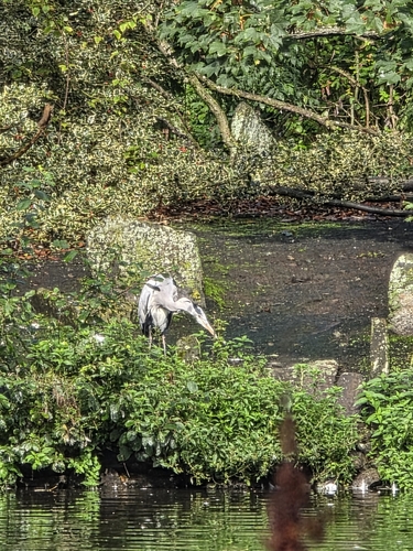
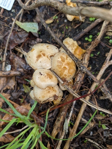
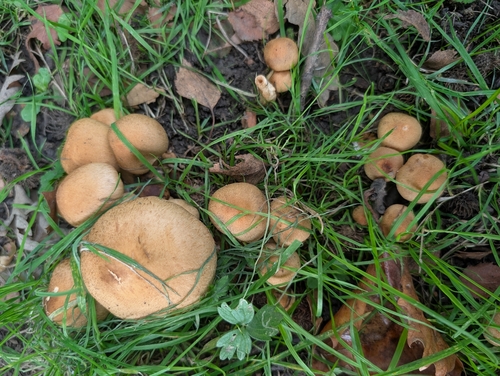
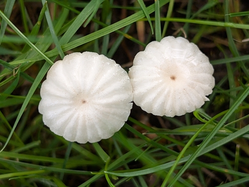
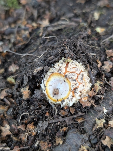
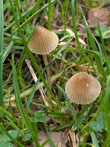
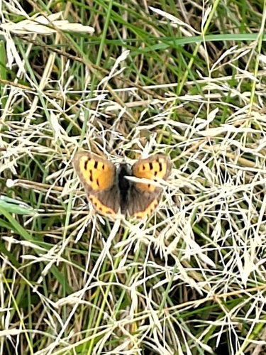
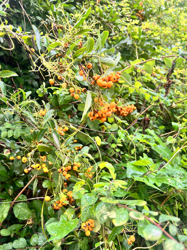
Research-grade observations from iNaturalist (within ~15 mi).
Events
Gallery
Official Identifiers
ONS — UK Office for National Statistics
- ONS code
- osgb4000000074555897
- Local type
- Town
- Region
- North West
api.postcodes.io / OS Open Names
Sources
- • Wikipedia
- • Wikidata
- • Open-Meteo Air Quality (CAMS)
- • USGS Earthquake Catalog (global feed)
- • GBIF (Global Biodiversity Information Facility)
- • iNaturalist
- • Open-Meteo / sunrise-sunset.org
- • Wikipedia Pageviews API
- • Open Library
- • Wikidata SPARQL (CC0) — population, area, elevation, inception, head of government, Commons image
- • ONS / OS Open Names — UK official place gazetteer, via api.postcodes.io (OS code, local type, county/unitary, district/borough, region)
- • ONS — UK Office for National Statistics — api.postcodes.io / OS Open Names