Browse / United Kingdom / Scotland / Anstruther
Anstruther
Scotlandtown

Anstruther
Total population
3,810
Demographic figures from UK Office for National Statistics. Overview below cites Wikipedia and may reference a different year.
City facts
Sister cities
Facts from Wikidata (CC0).
Overview
Anstruther, known locally as Ainster or Enster, is a coastal town in Fife, Scotland, situated on the north shore of the Firth of Forth, nine miles (14 km) south-southeast of St Andrews. The town comprises two settlements, Anstruther Easter and Anstruther Wester, which are divided by a stream, the Dreel Burn. With a population of 3,500, it is the largest community in the part of Fife known as the East Neuk. To the east, it merges with the village of Cellardyke.
Read more on WikipediaHistory & geography
History
The name of Anstruther derives from Scottish Gaelic. The second element is sruthair ('burn, stream'), but the first element less certain: it is possibly Gaelic á(i)n ('driving') or aon ('one'), thus meaning either 'driving current or burn' or '(place of or on) one burn'. The name of Anstruther Easter derives from Scots easter ('eastern'), since the village lies to the east of Anstruther, and Anstruther Wester correspondingly from Scots wester ('western'). Anstruther-Easter and Anstruther-Wester are separated by a small stream called Dreel Burn. Local tradition states that early in the 12th century, Alexander I of Scotland granted the lands of Anstruther to a William de Candela. However, no records survive of this original grant, and the earliest recorded lord of Anstruther was mentioned in a charter of 1225. There have been several theories as to the origin of the, possibly mythical, William, but recent research has suggested he may have been a Norman from Italy. There is evidence that William the Conqueror sought assistance from William, Count of Candela. He sent his son (or possibly his grandson). It may be this was the William de Candela, who received the grant of land from Alexander. William de Candela's son, another William, was said to be a benefactor to the monks of Balmerino Abbey. Balmerino was founded in 1229, long after the likely lifetime of this William. Land in Anstruther Easter, on which a chapel was built and now occupied by the Scottish Fisheries Museum, was gifted to Balmerino by another William, sometime in the 1280s. Both this suggestion, and the Italian origin theory are inaccurate. The de Candela family actually came from Dorset, coming to England probably from Normandy in or around 1066. The de Candela name was dropped by a later generation, in…
Excerpted from the corresponding Wikipedia article (CC BY-SA).
Geography
Coordinates & boundaries from the US Census TIGER/Line shapefiles.
Climate
Air quality
Walkability
Amenities nearby
Wildlife & biodiversity
Earthquake history
Photos
Sights & places nearby
Notable people from here


People born within ~10 km, from Wikidata (CC0). Click any name for their Wikipedia article.
Geography & sun
Elevation, sunrise/sunset and daylight from Open-Meteo. Solar climatology from NASA POWER.
Nearby airports
Public attention
Pageview totals from the Wikimedia Pageviews API.
Books about Anstruther
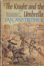
Search results from Open Library.
Recent natural events nearby
Ground air-quality sensors
Recently spotted species
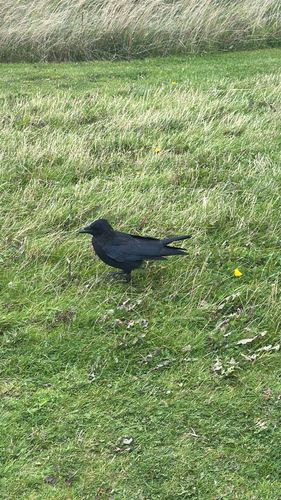
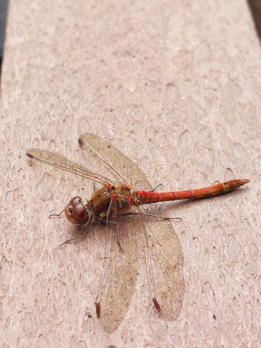
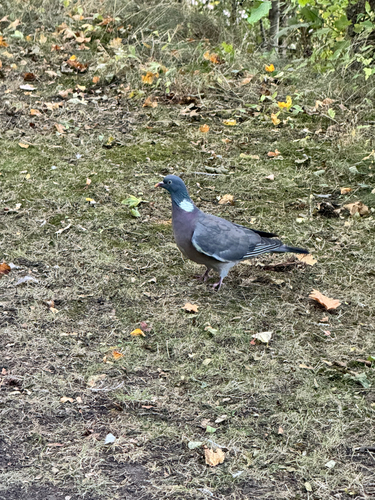
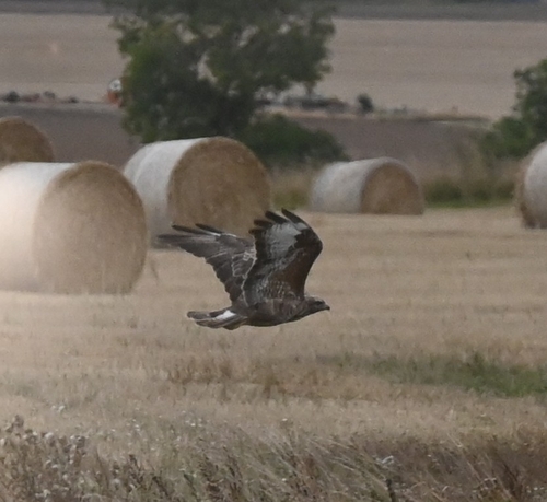
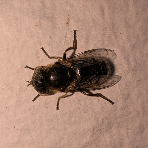
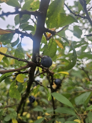
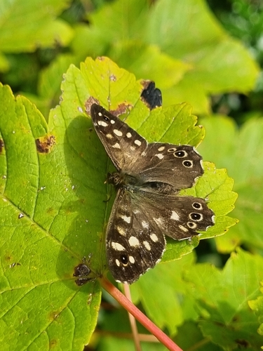
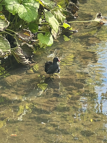
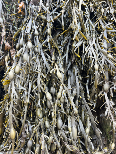
Research-grade observations from iNaturalist (within ~15 mi).
Events
Gallery
Official Identifiers
ONS — UK Office for National Statistics
- ONS code
- osgb4000000074584048
- Local type
- Town
- Region
- Scotland
api.postcodes.io / OS Open Names
Sources
- • Wikipedia
- • Wikidata
- • iNaturalist
- • Open-Meteo / sunrise-sunset.org
- • Wikipedia Pageviews API
- • Open Library
- • ONS / OS Open Names — UK official place gazetteer, via api.postcodes.io (OS code, local type, county/unitary, district/borough, region)
- • ONS — UK Office for National Statistics — api.postcodes.io / OS Open Names