Browse / United Kingdom / England / Astley
Astley
Englandtown

Astley
Total population
11,270
Demographic figures from UK Office for National Statistics. Overview below cites Wikipedia and may reference a different year.
City facts
Overview
Astley is a village in the Metropolitan Borough of Wigan, Greater Manchester, England. Within the boundaries of the historic county of Lancashire, it is crossed by the Bridgewater Canal and the A580 East Lancashire Road. Continuous with Tyldesley, it is between Wigan and Manchester, both 8 miles (13 km) away. Astley Mosley Common ward had a population of 11,270 at the 2011 Census.
Read more on WikipediaHistory & geography
History
Astley is of Old English derivation, and means "East Leigh", a reference to its position in relation to Leigh. Leigh is derived from leah, meaning a "wood", a "clearing" or a "meadow". The earliest written record of Astley was in documents dated 1210 when it appeared as the Middle English Asteleghe. Other archaic spellings include Asteleye (1292) and Astlegh (14th and 15th centuries). Evidence for the presence of Anglo-Saxons in the sparsely populated, heavily wooded and isolated region is provided by place names incorporating the Old English suffix leah, such as in Leigh, Tyldesley, Shakerley and Astley. Astley emerged during the Early Middle Ages as a township in the parish of Leigh. It was mentioned in documents in 1210, when Hugh of Tyldesley, Lord of the Manors of Tyldesley and Astley, granted land to Cockersand Abbey. In 1212, he was recorded as tenant of Astley Hall, the manor house for both Astley and Tyldesley, located just inside the Tyldesley township. After his death, his son Henry inherited the manors. He was succeeded by his son, another Henry, who, when he died in 1301, divided the lands between three of his six sons. It is from this division that the manors of Astley and Tyldesley were separated. Tyldesleys lived at the Astley manor until April 1353 when Richard Radcliff bought it for 100 marks. The Radcliffs remained there until 1561 when William Radcliff died childless and the land passed to his half-sister Anne, who married Gilbert Gerard. In 1606 Adam Mort bought the manor house and land in Astley. He was a wealthy man who built the first Astley Chapel as a chapel of ease for the parish church in Leigh. The chapel was consecrated in 1631, the year that he died. He built a grammar school that stood for over 200 years until 1833, when it was…
Geography
At (53.5008°, −2.4454°), and northwest of central London, Astley is on the northern side of the Chat Moss bog, about above sea level. It forms a continuous urban area with Tyldesley to the north, Astley is west-northwest of Manchester city centre, and north of the Bridgewater Canal, which straddles the village's southern hinterland from east-to-west. Astley Moss is crossed by the Astley Brook and Moss Brook, tributaries to the Glaze Brook and the River Mersey. The underlying geology consists of the Permo-Triassic New Red Sandstone in the south, and the Middle Coal Measures of the Manchester Coalfield to the north. The upper soils are a mixture of clay and sand, with a subsoil of clay. The isolated hamlet of terraced houses at Gin Pit was built by the Astley and Tyldesley Collieries Company. Peace Street, Lord Street and Maden Street were named after directors of the company.
Excerpted from the corresponding Wikipedia article (CC BY-SA).
Geography
Coordinates & boundaries from the US Census TIGER/Line shapefiles.
Climate
Air quality
Walkability
Amenities nearby
Wildlife & biodiversity
Most-observed species
- Common Wood-PigeonColumba palumbus Linnaeus, 1758 · Aves23,753
- Eurasian MagpiePica pica (Linnaeus, 1758) · Aves22,962
- Eurasian BlackbirdTurdus merula Linnaeus, 1758 · Aves21,384
- European RobinErithacus rubecula (Linnaeus, 1758) · Aves20,941
- Eurasian Blue TitCyanistes caeruleus (Linnaeus, 1758) · Aves18,880
- Carrion CrowCorvus corone Linnaeus, 1758 · Aves18,672
- Great TitParus major Linnaeus, 1758 · Aves16,751
- European GoldfinchCarduelis carduelis (Linnaeus, 1758) · Aves15,726
Citizen-science & research observations from the Global Biodiversity Information Facility (GBIF).
Earthquake history
Most recent
- M 3.4 — 2025-12-030 km ESE of Carnforth, United Kingdom
- M 2.7 — 2023-06-282 km SE of Cheadle, United Kingdom
- M 3.6 — 2022-05-302 km ESE of Prees, United Kingdom
- M 2.6 — 2014-10-282 km NNE of Hucknall, United Kingdom
- M 3.2 — 2013-08-2523 km W of Cleveleys, United Kingdom
- M 3.6 — 2011-01-035 km S of Masham, United Kingdom
Events from the USGS Earthquake Catalog (global) (FDSN Event Web Service).
Photos
Sights & places nearby
Notable people from here


People born within ~10 km, from Wikidata (CC0). Click any name for their Wikipedia article.
Nearby places in England
Geography & sun
Elevation, sunrise/sunset and daylight from Open-Meteo. Solar climatology from NASA POWER.
Nearby airports
Public attention
Pageview totals from the Wikimedia Pageviews API.
Books about Astley
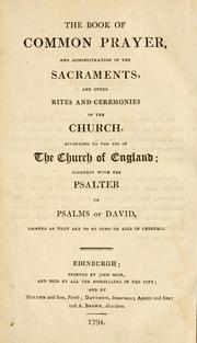



Search results from Open Library.
Recent natural events nearby
Ground air-quality sensors
Recently spotted species
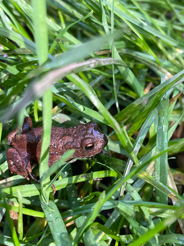
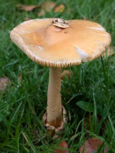
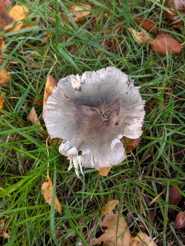
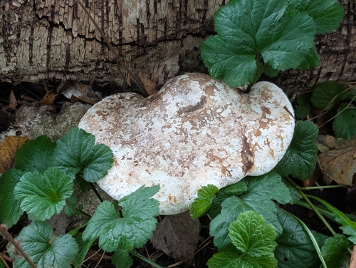

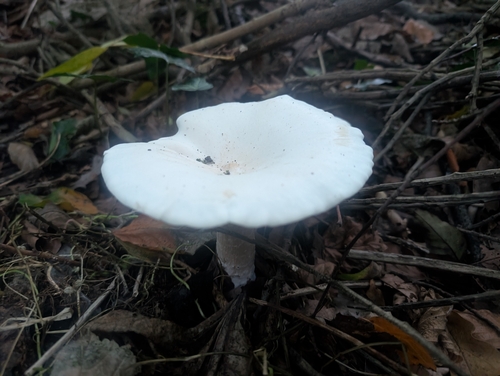
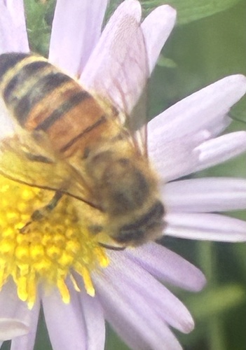
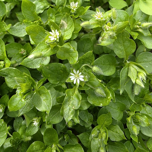
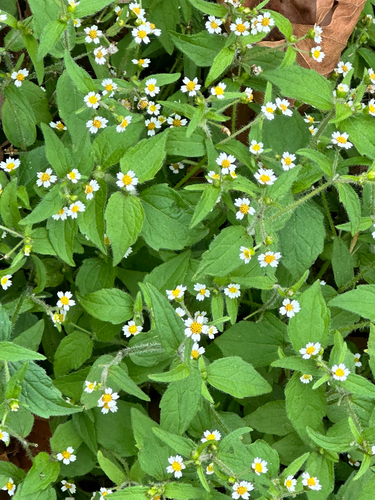
Research-grade observations from iNaturalist (within ~15 mi).
Events
Gallery
Official Identifiers
ONS — UK Office for National Statistics
- ONS code
- osgb4000000074558796
- Local type
- Village
- Region
- North West
api.postcodes.io / OS Open Names
Sources
- • Wikipedia
- • Wikidata
- • USGS Earthquake Catalog (global feed)
- • GBIF (Global Biodiversity Information Facility)
- • iNaturalist
- • Open-Meteo / sunrise-sunset.org
- • Wikipedia Pageviews API
- • Open Library
- • Wikidata SPARQL (CC0) — population, area, elevation, inception, head of government, Commons image
- • ONS / OS Open Names — UK official place gazetteer, via api.postcodes.io (OS code, local type, county/unitary, district/borough, region)
- • ONS — UK Office for National Statistics — api.postcodes.io / OS Open Names