Browse / United Kingdom / England / Aylsham
Aylsham
Englandtown

Aylsham
Total population
6,016
Demographic figures from UK Office for National Statistics. Overview below cites Wikipedia and may reference a different year.
City facts
Facts from Wikidata (CC0).
Overview
Aylsham is a historic market town and civil parish in north Norfolk, England. It lies on the river Bure, nearly 9 mi (14 km) north of Norwich. The town is close to Blickling, Felbrigg, Mannington and Wolterton Halls, which are popular tourist attractions. The parish had a population of 7,568 at the 2021 census. For local government, the parish is in the Broadland district.
Read more on WikipediaHistory & geography
History
Archaeological evidence shows that the site of the town of Aylsham has been occupied since prehistoric times. The town lies just over from a Roman settlement at Brampton. The settlement was linked to Venta Icenorum at Caistor St Edmund, south of Norwich, by a Roman road which can still be traced in places. The site had maritime links to the rest of the Roman Empire. Excavations during the 1970s provided evidence of several kilns, showing that this was an industrial centre, pottery and metal items being the main items manufactured there. Aylsham is thought to have been founded around 500 AD by an Anglo Saxon thegn called Aegel, Aegel's Ham, meaning "Aegel's settlement". The town is mentioned in the Domesday Book (1086) as Elesham and Ailesham, and as having a population of about 1,000. Until the 15th century, the production of linen and worsted was important. 'Aylsham webb' or 'cloth of Aylsham' was supplied to the royal palaces of Edward II and III. John of Gaunt was lord of the manor from 1372, although he probably never came to Aylsham. As the principal local town of the Duchy of Lancaster; as a result, the townspeople enjoyed privileges, including exemption from jury service outside the manor and from payment of certain taxes. In 1519, Henry VIII granted the town a regular Saturday market and an annual fair to be held on 12 March, the eve of the feast of St Gregory. Aylsham market has remained an important feature of the town, as businesses developed to meet the needs of the town and the farming lands around it. Besides weekly markets there were cattle fairs twice a year and a hiring fair in October. The Black Boys Inn is one of Aylsham's oldest surviving buildings. It has been on the same site since the 1650s, although the present frontage dates to between…
Excerpted from the corresponding Wikipedia article (CC BY-SA).
Geography
Coordinates & boundaries from the US Census TIGER/Line shapefiles.
Climate
Air quality
Walkability
Amenities nearby
Wildlife & biodiversity
Earthquake history
Photos
Sights & places nearby
Notable people from here
Geography & sun
Elevation, sunrise/sunset and daylight from Open-Meteo. Solar climatology from NASA POWER.
Nearby airports
Public attention
Pageview totals from the Wikimedia Pageviews API.
Books about Aylsham
![[Report 1925]](https://covers.openlibrary.org/b/id/13392997-M.jpg)
![[Report 1971]](https://covers.openlibrary.org/b/id/11796337-M.jpg)
![[Report 1939]](https://covers.openlibrary.org/b/id/11796608-M.jpg)
![[Report 1969]](https://covers.openlibrary.org/b/id/8154381-M.jpg)
![[Report 1938]](https://covers.openlibrary.org/b/id/13391241-M.jpg)
![[Report 1961]](https://covers.openlibrary.org/b/id/8154495-M.jpg)
![[Report 1947]](https://covers.openlibrary.org/b/id/8154523-M.jpg)
![[Report 1956]](https://covers.openlibrary.org/b/id/8154654-M.jpg)
Search results from Open Library.
Recent natural events nearby
Ground air-quality sensors
Recently spotted species
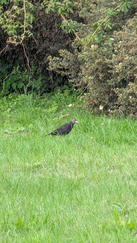

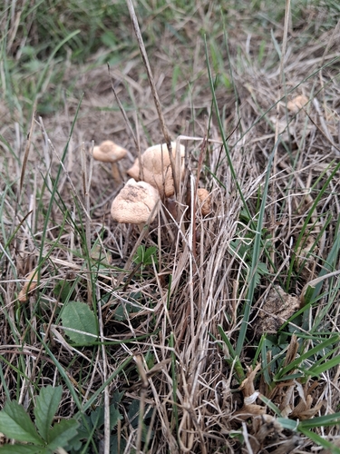
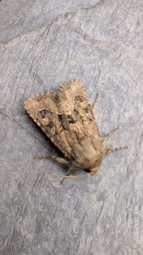
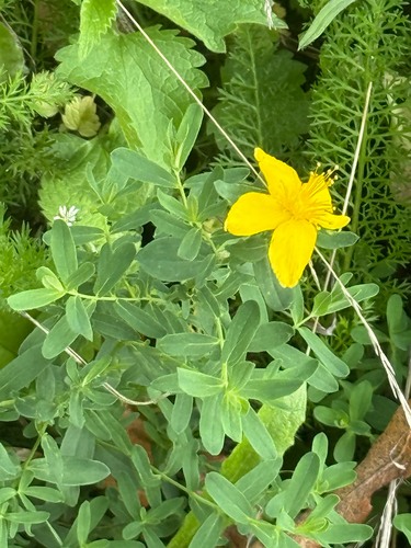
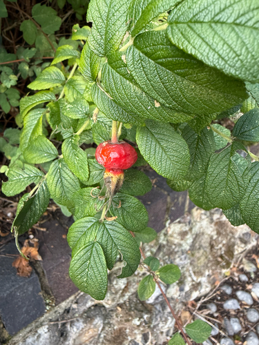
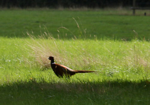
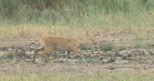
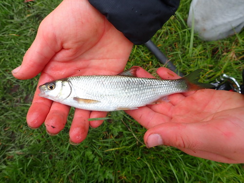
Research-grade observations from iNaturalist (within ~15 mi).
Events
Gallery
Official Identifiers
ONS — UK Office for National Statistics
- ONS code
- osgb4000000074571884
- Local type
- Town
- Region
- Eastern
api.postcodes.io / OS Open Names
Sources
- • Wikipedia
- • Wikidata
- • iNaturalist
- • Open-Meteo / sunrise-sunset.org
- • Wikipedia Pageviews API
- • Open Library
- • ONS / OS Open Names — UK official place gazetteer, via api.postcodes.io (OS code, local type, county/unitary, district/borough, region)
- • ONS — UK Office for National Statistics — api.postcodes.io / OS Open Names