Browse / United Kingdom / England / Barnsley
Barnsley
Englandtown

Barnsley
Total population
245,199
Demographic figures from UK Office for National Statistics. Overview below cites Wikipedia and may reference a different year.
City facts
Sister cities
Facts from Wikidata (CC0).
Overview
Barnsley is a market town in South Yorkshire, England. It is the main settlement of the Metropolitan Borough of Barnsley and the fourth largest settlement in South Yorkshire. The town's population was recorded as 71,599 at the 2021 census, while the wider borough has a population of 251,770.
Read more on WikipediaHistory & geography
History
The name Barnsley derives from the Old English Beornslēah meaning 'Beorn's wood or clearing'. Following the Norman invasion of 1066, many abbeys and priories were built in Yorkshire. Norman landowners increased their revenues and established new towns such as Barnsley, Doncaster, Hull, Leeds, Scarborough and Sheffield. Of towns founded before the conquest, only Bridlington, Pocklington, and York continued at a prominent level. Although settlements had been established in the Barnsley area for centuries prior, and was a well known centre to trade, the first reference to Barnsley occurs in 1086 in the Domesday Book, in which it is called Berneslai and has a population of around 200. The town was in the parish of Silkstone and developed little until in the 1150s, when it was given to the Pontefract Priory. The monks built a town where three roads met: the Sheffield to Wakefield, Rotherham to Huddersfield and Cheshire to Doncaster routes. The Domesday village became known as Old Barnsley, and a town grew up on the new site. The monks erected a chapel of ease dedicated to Saint Mary, which survived until 1820 , and established a market. In 1249, a Royal charter was granted to Barnsley permitting it to hold a weekly market on Wednesdays and annual four-day fair at Michaelmas. By the 1290s, three annual fairs were held. The town was the centre of the Staincross wapentake but, in the mid-16th century, it had only 600 inhabitants. The town was the site of a human crush that resulted in the deaths of 16 children in 1908 at a public hall, now known as The Civic, when children were rushing to watch a film in the building. Barnsley has a long tradition of glass-making, however Barnsley is most famous for its coal mines. In 1960, there were 70 collieries within a radius of…
Geography
Barnsley is located in the valley of the River Dearne at the eastern foothills of the Pennines, near the uplands of the Peak District to the west. Geologically, the town is located within the area of the South Yorkshire Coalfield, consisting of the middle coal measures and sandstones laid down in the Carboniferous period. The town lies approximately north of Sheffield, south of Leeds, south of Wakefield and east of Manchester. Ardsley, Athersley, Barugh Green, Bank End, Birdwell, Darton, Carlton, Cawthorne, Cudworth, Cundy Cross, Darfield, Dodworth, Elsecar, Gawber, Grimethorpe, Higham, Honeywell, Hoyland, High Hoyland, Hoylandswaine, Kendray, Kexbrough, Kingstone, Langsett Lundwood, Mapplewell, Monk Bretton, Tankersley, New Lodge, Oakwell, Old Town, Penistone, Pogmoor, Royston, Shafton, Smithies, Silkstone, Staincross, Stairfoot, Thurnscoe, Wilthorpe, Woolley Colliery, Worsbrough (includes Worsbrough Bridge, Rockley, Worsbrough Dale, Swaithe, Worsbrough Village, and Ward Green), Worsbro Common, Wombwell and Wortley. Barnsley is within a green belt region that extends into the borough and wider surrounding counties. It is in place to reduce urban sprawl, prevent the towns in the Barnsley/Dearne Valley conurbation from further convergence, protect the identity of outlying communities, encourage brownfield reuse and preserve nearby countryside. This is achieved by restricting inappropriate development within the designated areas, and imposing stricter conditions on permitted building. The green belt surrounds the Barnsley built-up area, separating towns and villages throughout the borough. Larger outlying communities such as Cudworth, Dodworth, Kendray, Monk Bretton and Worsbrough are also exempt from the green belt area. However, nearby smaller villages,…
Excerpted from the corresponding Wikipedia article (CC BY-SA).
Geography
Coordinates & boundaries from the US Census TIGER/Line shapefiles.
Climate
Air quality
Walkability
Amenities nearby
Wildlife & biodiversity
Earthquake history
Photos
Sights & places nearby
Notable people from here


People born within ~10 km, from Wikidata (CC0). Click any name for their Wikipedia article.
Nearby places in England
Geography & sun
Elevation, sunrise/sunset and daylight from Open-Meteo. Solar climatology from NASA POWER.
Nearby airports
Public attention
Pageview totals from the Wikimedia Pageviews API.
Books about Barnsley
Search results from Open Library.
Recent natural events nearby
Ground air-quality sensors
Recently spotted species
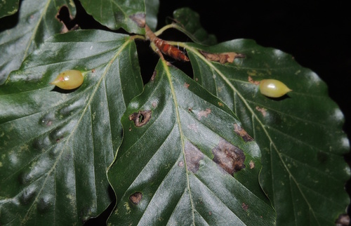
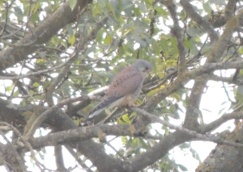
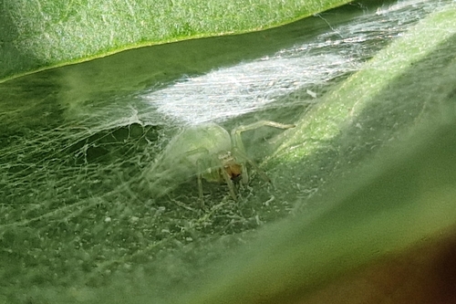
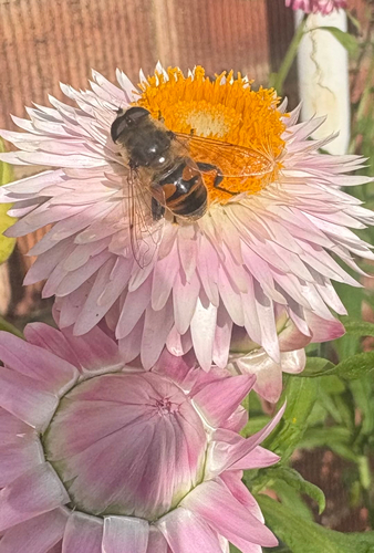
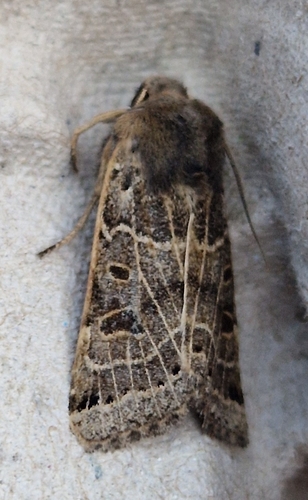
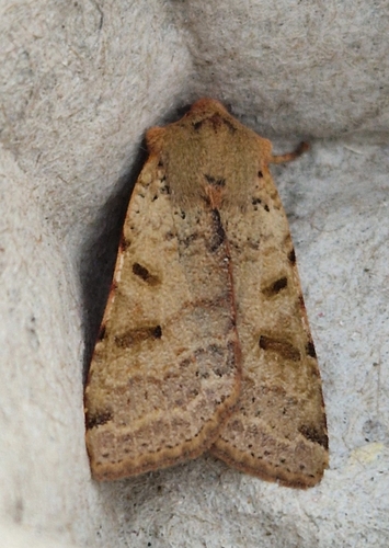
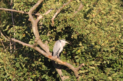
Research-grade observations from iNaturalist (within ~15 mi).
Events
Gallery
Official Identifiers
ONS — UK Office for National Statistics
- ONS code
- osgb4000000074572881
- Local type
- Town
- Region
- Yorkshire and the Humber
api.postcodes.io / OS Open Names
Sources
- • Wikipedia
- • Wikidata
- • iNaturalist
- • Open-Meteo / sunrise-sunset.org
- • Wikipedia Pageviews API
- • Open Library
- • Wikidata SPARQL (CC0) — population, area, elevation, inception, head of government, Commons image
- • ONS / OS Open Names — UK official place gazetteer, via api.postcodes.io (OS code, local type, county/unitary, district/borough, region)
- • ONS — UK Office for National Statistics — api.postcodes.io / OS Open Names