Browse / United Kingdom / England / Barnstaple
Barnstaple
Englandtown

Barnstaple
Total population
21,000
Demographic figures from UK Office for National Statistics. Overview below cites Wikipedia and may reference a different year.
City facts
Sister cities
Facts from Wikidata (CC0).
Overview
Barnstaple is a town and civil parish in the North Devon district of Devon, England. The town lies at the River Taw's lowest crossing point before the Bristol Channel. From the 14th century, it was licensed to export wool from which it earned great wealth. Later it imported Irish wool, but its harbour silted up and other trades developed such as shipbuilding, foundries and sawmills. A Victorian market building survives, with a high glass and timber roof on iron columns.
Read more on WikipediaHistory & geography
History
The earliest local settlement was probably at Pilton by the River Yeo, now a northern suburb. Pilton is recorded in the Burghal Hidage (c. 917) as a burh founded by Alfred the Great, but by the later 10th-century Barnstaple had taken over its local defence. It had a mint before the Norman Conquest. After Juhel's son died intestate, the barony was split between the de Braose and Tracy families, before reuniting under Henry de Tracy. It then passed through several families, before ending in the hands of Margaret Beaufort (died 1509), mother of King Henry VII. A market is first recorded in 1274. The town's wealth in the Middle Ages rested on being a Port of the Staple licensed to export wool. It had an early merchant guild of St Nicholas. In the early 14th century it was Devon's third richest town after Exeter and Plymouth, and its largest textile centre outside Exeter until about 1600. (established 1577), whose armorials appear on two mural monuments to 17th-century merchants: Richard Beaple (died 1643), three times Mayor, and Richard Ferris (Mayor in 1632), who with Alexander Horwood received a payment from the Corporation of Barnstaple in 1630 for "riding to Exeter about the Spanish Company." in St Peter's Church, and on the decorated plaster ceiling of the old Golden Lion Inn, manufacturing lace, gloves, sail-cloth and fishing-nets, with extensive potteries, tanneries, sawmills and foundries, and some shipbuilding still carried on. The Bear Street drill hall dates from the early 19th century. Between the 1930s and the 1950s the urban area grew to incorporate the villages of Pilton, Newport, and Roundswell through ribbon development.
Geography
Barnstaple is the largest town in North Devon. It lies west-south-west of Bristol, north of Plymouth and north-west of the county town and city of Exeter. It was founded at the lowest crossing point of the River Taw, where its estuary starts to widen, about 7 miles (11 km) inland from Barnstaple Bay in the Bristol Channel. On the north side, the Taw is joined by the River Yeo, which rises on Berry Down near Combe Martin. Most of the town lies on the east bank of the estuary, connected to the west by the ancient Barnstaple Long Bridge, with 16 arches. The area of medieval shipbuilding and repair is still called The Strand, an early word for shore. Barnstaple has cool wet winters and mild wet summers. Mean high temperatures range from 9 C (48 F) in January to 21 C (70 F) in July. The record high is 34 C (94 F) and the record low −9 C (16 F). October is the wettest month with 103 mm (4.1 in) of rain. The mean annual rainfall is 862 mm (33.9 in), with rain on 138 days.
Excerpted from the corresponding Wikipedia article (CC BY-SA).
Geography
Coordinates & boundaries from the US Census TIGER/Line shapefiles.
Climate
Air quality
Walkability
Amenities nearby
Wildlife & biodiversity
Most-observed species
- European RobinErithacus rubecula (Linnaeus, 1758) · Aves1,532
- Herring GullLarus argentatus Pontoppidan, 1763 · Aves1,495
- Eurasian BlackbirdTurdus merula Linnaeus, 1758 · Aves1,381
- Common Wood-PigeonColumba palumbus Linnaeus, 1758 · Aves1,332
- Carrion CrowCorvus corone Linnaeus, 1758 · Aves1,259
- House SparrowPasser domesticus (Linnaeus, 1758) · Aves1,016
- Eurasian MagpiePica pica (Linnaeus, 1758) · Aves1,006
- Eurasian Blue TitCyanistes caeruleus (Linnaeus, 1758) · Aves1,001
Citizen-science & research observations from the Global Biodiversity Information Facility (GBIF).
Earthquake history
Most recent
- M 3.4 — 2019-12-051 km ESE of Taunton, United Kingdom
- M 4.3 — 2018-02-175 km NE of Clydach, United Kingdom
- M 4.1 — 2014-02-2017 km NNW of Ilfracombe, United Kingdom
- M 2.7 — 2011-06-234 km WSW of Bovey Tracey, United Kingdom
- M 2.8 — 2006-12-191 km NNE of Polperro, United Kingdom
- M 2.5 — 2006-08-141 km E of North Petherton, United Kingdom
Events from the USGS Earthquake Catalog (global) (FDSN Event Web Service).
Photos
Sights & places nearby
Notable people from here


People born within ~10 km, from Wikidata (CC0). Click any name for their Wikipedia article.
Nearby places in England
Geography & sun
Elevation, sunrise/sunset and daylight from Open-Meteo. Solar climatology from NASA POWER.
Nearby airports
Public attention
Pageview totals from the Wikimedia Pageviews API.
Books about Barnstaple

![[Report 1962]](https://covers.openlibrary.org/b/id/7923195-M.jpg)
![[Report 1965]](https://covers.openlibrary.org/b/id/7923580-M.jpg)
![[Report 1939]](https://covers.openlibrary.org/b/id/11792942-M.jpg)
![[Report 1940]](https://covers.openlibrary.org/b/id/13355967-M.jpg)
![[Report 1938]](https://covers.openlibrary.org/b/id/11792254-M.jpg)
![[Report 1946]](https://covers.openlibrary.org/b/id/11793074-M.jpg)
![[Report 1963]](https://covers.openlibrary.org/b/id/7921691-M.jpg)
Search results from Open Library.
Recent natural events nearby
Ground air-quality sensors
Recently spotted species
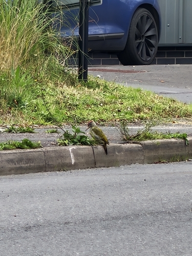
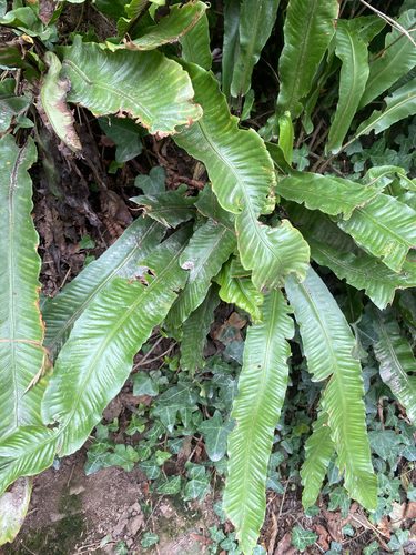
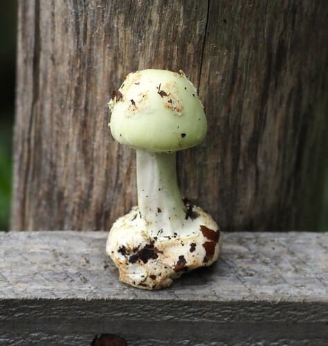
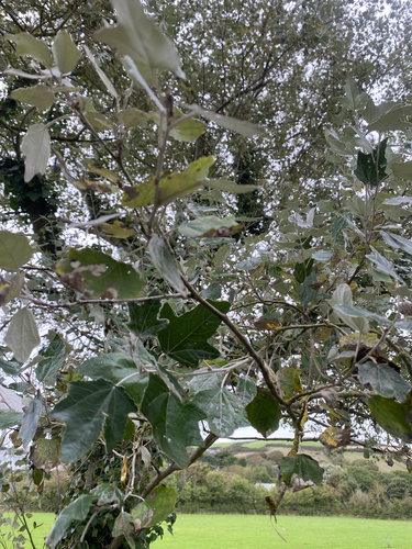
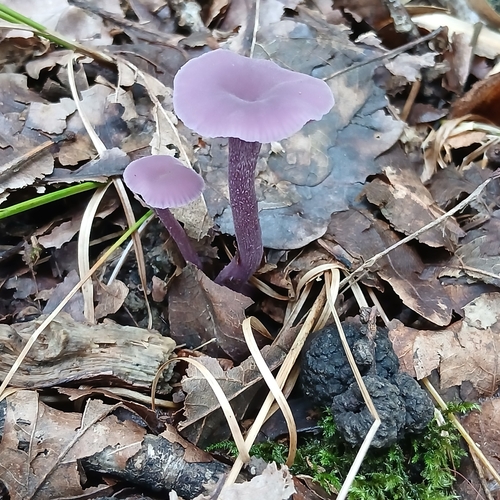
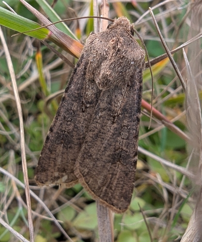
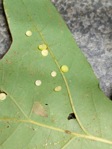
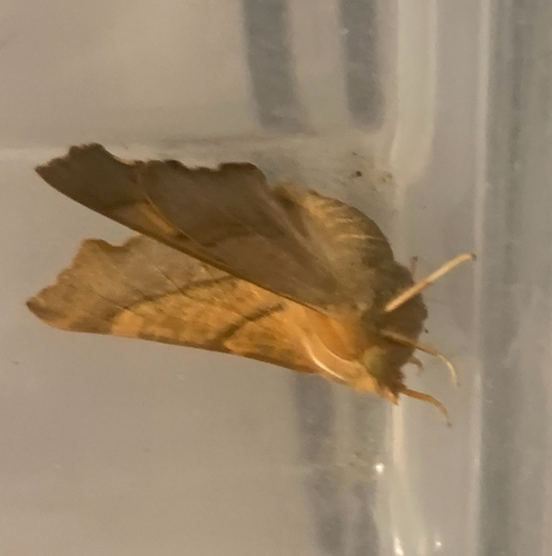
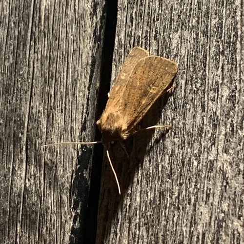
Research-grade observations from iNaturalist (within ~15 mi).
Events
Gallery
Official Identifiers
ONS — UK Office for National Statistics
- ONS code
- osgb4000000074574137
- Local type
- Town
- Region
- South West
api.postcodes.io / OS Open Names
Sources
- • Wikipedia
- • Wikidata
- • USGS Earthquake Catalog (global feed)
- • GBIF (Global Biodiversity Information Facility)
- • iNaturalist
- • Open-Meteo / sunrise-sunset.org
- • Wikipedia Pageviews API
- • Open Library
- • Wikidata SPARQL (CC0) — population, area, elevation, inception, head of government, Commons image
- • ONS / OS Open Names — UK official place gazetteer, via api.postcodes.io (OS code, local type, county/unitary, district/borough, region)
- • ONS — UK Office for National Statistics — api.postcodes.io / OS Open Names