Browse / United Kingdom / England / Birtley
Birtley
Englandtown

Birtley
Demographic figures from UK Office for National Statistics. Overview below cites Wikipedia and may reference a different year.
City facts
Overview
Birtley is a town in the Metropolitan Borough of Gateshead, in Tyne and Wear, England. It is situated to the south of Gateshead and is conjoined to Chester-le-Street across the county boundary in County Durham.
Read more on WikipediaHistory & geography
History
Birtley was historically a township and chapelry in the ancient parish of Chester-le-Street, in 1866, the legal definition of 'parish' was changed to be the areas used for administering the poor laws, and so Birtley became a civil parish. In 1894 Birtley and the adjoining areas of Barley Mow, Vigo and Portobello became part of Chester-le-Street Rural District under County Durham until being moved into Tyne and Wear under the Borough of Gateshead in 1974. It forms an urban area with nearby Chester-le-Street, Washington, Houghton le Spring, Hetton le Hole and Sunderland as part of Wearside. Birtley was a civil parish with a parish council (which also covered the adjoining neighbourhoods) until 1 April 2006, after a local referendum agreed to abolish it. The former parish had a population of 11,377 in 2001. The ward of Birtley in the Gateshead MBC had a population of 8,367 in the 2011 Census. On 3 July 2010 Raoul Moat shot two people in Birtley at the start of the 2010 Northumbria Police manhunt. He went on to shoot a police officer before committing suicide. The manhunt lasted almost seven days, and was the largest in modern British history, involving 160 armed officers and armed response vehicles, many seconded for the operation from other police forces. In September 2024, Prince William visited Birtley as a visit to Birtley Swimming Centre for its reopening.
Excerpted from the corresponding Wikipedia article (CC BY-SA).
Geography
Coordinates & boundaries from the US Census TIGER/Line shapefiles.
Climate
Air quality
Walkability
Amenities nearby
Wildlife & biodiversity
Most-observed species
- Common Wood-PigeonColumba palumbus Linnaeus, 1758 · Aves15,960
- Carrion CrowCorvus corone Linnaeus, 1758 · Aves13,379
- Eurasian BlackbirdTurdus merula Linnaeus, 1758 · Aves13,052
- Eurasian MagpiePica pica (Linnaeus, 1758) · Aves12,532
- Herring GullLarus argentatus Pontoppidan, 1763 · Aves12,375
- European RobinErithacus rubecula (Linnaeus, 1758) · Aves11,652
- Eurasian Blue TitCyanistes caeruleus (Linnaeus, 1758) · Aves11,056
- Western JackdawColoeus monedula (Linnaeus, 1758) · Aves10,321
Citizen-science & research observations from the Global Biodiversity Information Facility (GBIF).
Earthquake history
Most recent
- M 2.8 — 2020-01-231 km NW of Stockton-on-Tees, United Kingdom
- M 3.6 — 2011-01-035 km S of Masham, United Kingdom
- M 2.5 — 2008-05-2812 km WNW of Penrith, United Kingdom
Events from the USGS Earthquake Catalog (global) (FDSN Event Web Service).
Photos
Sights & places nearby
Notable people from here
Geography & sun
Elevation, sunrise/sunset and daylight from Open-Meteo. Solar climatology from NASA POWER.
Nearby airports
Public attention
Pageview totals from the Wikimedia Pageviews API.
Books about Birtley

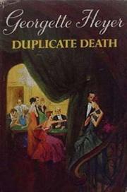
Search results from Open Library.
Recent natural events nearby
Ground air-quality sensors
Recently spotted species
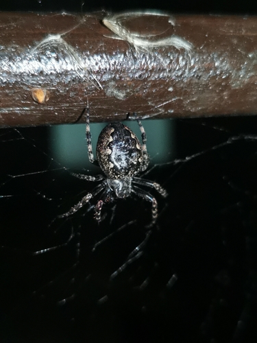
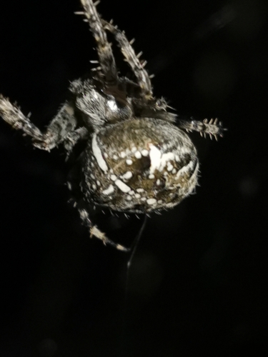
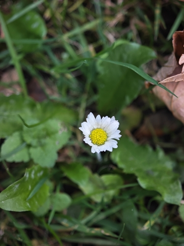
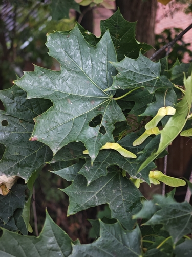
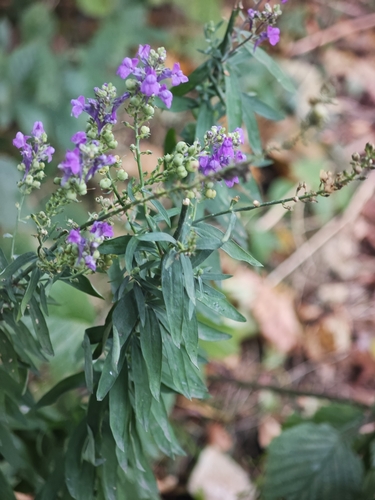
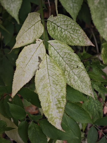
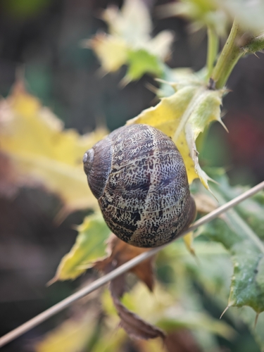
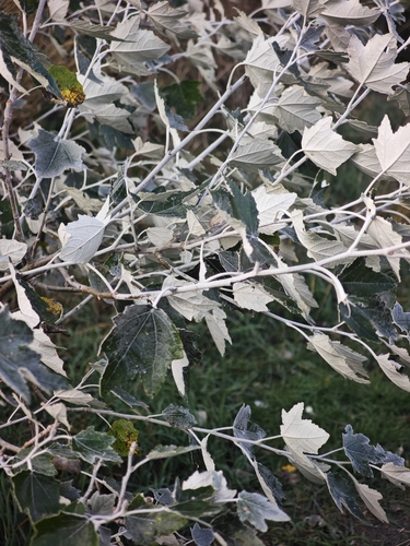
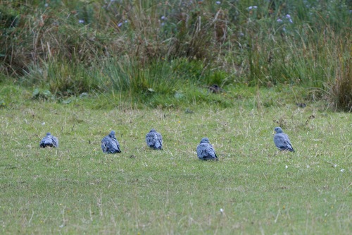
Research-grade observations from iNaturalist (within ~15 mi).
Events
Gallery
Official Identifiers
ONS — UK Office for National Statistics
- ONS code
- osgb4000000074548957
- Local type
- Other Settlement
- Region
- North East
api.postcodes.io / OS Open Names
Sources
- • Wikipedia
- • USGS Earthquake Catalog (global feed)
- • GBIF (Global Biodiversity Information Facility)
- • iNaturalist
- • Open-Meteo / sunrise-sunset.org
- • Wikipedia Pageviews API
- • Open Library
- • ONS / OS Open Names — UK official place gazetteer, via api.postcodes.io (OS code, local type, county/unitary, district/borough, region)
- • ONS — UK Office for National Statistics — api.postcodes.io / OS Open Names