Browse / United Kingdom / England / Bradford
Bradford
Englandcity

Bradford
Total population
293,717
Air quality index
Demographic figures from UK Office for National Statistics. Overview below cites Wikipedia and may reference a different year.
City facts
Facts from Wikidata (CC0).
Overview
Bradford is a city in West Yorkshire, England. It became a municipal borough in 1847, received a city charter in 1897 and, since the 1974 reform, the city status has belonged to the larger City of Bradford metropolitan borough. In the 2021 census, the city itself had a population of 352,317, making it the second-largest subdivision of the West Yorkshire Built-up Area after Leeds, which is approximately 9 mi (14 km) to the east. The wider metropolitan borough had a population of 546,976 at the same census, making it one of the most populous districts in England.
Read more on WikipediaHistory & geography
History
After an uprising in 1070, during William the Conqueror's Harrying of the North, the manor of Bradford was laid waste, The manor then passed to the Earl of Lincoln, John of Gaunt, The Crown and, ultimately, private ownership in 1620. When the municipal borough of Bradford was created in 1847 there were 46 coal mines within its boundaries. Coal output continued to expand, reaching a peak in 1868 when Bradford contributed a quarter of all the coal and iron produced in Yorkshire. The population of the township in 1841 was 34,560. In 1825 the wool-combers union called a strike that lasted five-months but workers were forced to return to work through hardship leading to the introduction of machine-combing. This Industrial Revolution led to rapid growth, with wool imported in vast quantities for the manufacture of worsted cloth in which Bradford specialised, and the town soon became known as the wool capital of the world. A permanent military presence was established in the town with the completion of Bradford Moor Barracks in 1844. Bradford became a municipal borough in 1847, and a county borough in 1888, making it administratively independent of the West Riding County Council. It was honoured with city status on the occasion of Queen Victoria's Diamond Jubilee in 1897, with Kingston upon Hull and Nottingham. The three had been the largest county boroughs outside the London area without city status. The borough's boundaries were extended to absorb Clayton in 1930, and parts of Rawdon, Shipley, Wharfedale and Yeadon urban districts in 1937. Bradford had ample supplies of locally mined coal to provide the power that the industry needed. Local sandstone was an excellent resource for building the mills, and with a population of 182,000 by 1850, the town grew rapidly as…
Geography
Bradford is located at (53.7500, −1.8333)1. Topographically, it is located in the eastern foothills of the South Pennines moorland region. Bradford is not built on any substantial body of water, but is situated at the junction of three valleys. One of the valleys, the Bradford Beck, rises in moorland to the west—swelled by its tributaries, the Horton Beck, Westbrook, Bowling Beck, and Eastbrook. At the site of the original ford, the beck turns north, and flows towards the River Aire at Shipley. Bradfordale, or Bradforddale, is a name given to this valley. It can be regarded as one of the Yorkshire Dales, though as it passes through the city, it is often not recognised as such. The beck's course through the city centre is culverted and has been since the mid-19th century. On the 1852 Ordnance Survey map it is visible as far as Sun Bridge, at the end of Tyrrell Street, and then from beside Bradford Forster Square railway station on Kirkgate. On the 1906 Ordnance Survey, it disappears at Tumbling Hill Street, off Thornton Road, and appears north of Cape Street, off Valley Road, though there are culverts as far as Queens Road. The Bradford Canal, built in 1774, linking Bradford to the Leeds and Liverpool Canal, took its water from Bradford Beck and its tributaries. The supply of water from the polluted Bradford Beck was often inadequate to feed the locks and heavily polluted the canal over time. Due to the polluted state of the canal causing health problems, the council temporarily closed the canal in 1866. In 1922, the canal was permanently closed due to it not being economically viable to maintain the canal. In modern times, remnants of the canal can still be found, including by Canal Road where the route of the old canal can be seen by car. Bradford Southern…
Excerpted from the corresponding Wikipedia article (CC BY-SA).
Geography
Coordinates & boundaries from the US Census TIGER/Line shapefiles.
Climate
Air quality
Current readings from Open-Meteo Air Quality API (Copernicus CAMS European reanalysis).
Walkability
Amenities nearby
Wildlife & biodiversity
Most-observed species
- Common Wood-PigeonColumba palumbus Linnaeus, 1758 · Aves14,053
- Eurasian MagpiePica pica (Linnaeus, 1758) · Aves12,005
- Eurasian BlackbirdTurdus merula Linnaeus, 1758 · Aves11,341
- Carrion CrowCorvus corone Linnaeus, 1758 · Aves11,276
- European RobinErithacus rubecula (Linnaeus, 1758) · Aves9,858
- Eurasian Blue TitCyanistes caeruleus (Linnaeus, 1758) · Aves9,250
- MallardAnas platyrhynchos Linnaeus, 1758 · Aves7,942
- European GoldfinchCarduelis carduelis (Linnaeus, 1758) · Aves7,295
Citizen-science & research observations from the Global Biodiversity Information Facility (GBIF).
Earthquake history
Most recent
- M 3.4 — 2025-12-030 km ESE of Carnforth, United Kingdom
- M 2.7 — 2023-06-282 km SE of Cheadle, United Kingdom
- M 2.8 — 2020-01-231 km NW of Stockton-on-Tees, United Kingdom
- M 2.6 — 2014-10-282 km NNE of Hucknall, United Kingdom
- M 3.6 — 2011-01-035 km S of Masham, United Kingdom
- M 3.7 — 2009-04-283 km WSW of Flookburgh, United Kingdom
Events from the USGS Earthquake Catalog (global) (FDSN Event Web Service).
Photos
Sights & places nearby
Notable people from here


People born within ~10 km, from Wikidata (CC0). Click any name for their Wikipedia article.
Nearby places in England
Geography & sun
Elevation, sunrise/sunset and daylight from Open-Meteo. Solar climatology from NASA POWER.
Nearby airports
Public attention
Pageview totals from the Wikimedia Pageviews API.
Books about Bradford
Search results from Open Library.
Recent natural events nearby
Ground air-quality sensors
Recently spotted species
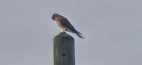
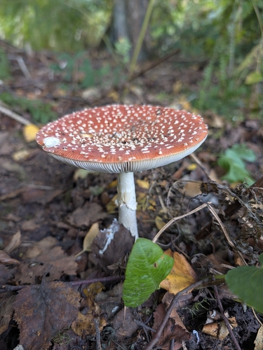
Research-grade observations from iNaturalist (within ~15 mi).
Events
Gallery
Official Identifiers
ONS — UK Office for National Statistics
- ONS code
- osgb4000000074540943
- Local type
- City
- Region
- Yorkshire and the Humber
api.postcodes.io / OS Open Names
Sources
- • Wikipedia
- • Wikidata
- • Open-Meteo Air Quality (CAMS)
- • USGS Earthquake Catalog (global feed)
- • GBIF (Global Biodiversity Information Facility)
- • iNaturalist
- • Open-Meteo / sunrise-sunset.org
- • Wikipedia Pageviews API
- • Open Library
- • Wikidata SPARQL (CC0) — population, area, elevation, inception, head of government, Commons image
- • ONS / OS Open Names — UK official place gazetteer, via api.postcodes.io (OS code, local type, county/unitary, district/borough, region)
- • ONS — UK Office for National Statistics — api.postcodes.io / OS Open Names