Browse / United Kingdom / Scotland / Bridge of Allan
Bridge of Allan
Scotlandtown

Bridge of Allan
Total population
4,930
Demographic figures from UK Office for National Statistics. Overview below cites Wikipedia and may reference a different year.
City facts
Overview
Bridge of Allan, also known colloquially as Bofa, is a former spa town in the Stirling council area in Scotland, just north of the city of Stirling.
Read more on WikipediaHistory & geography
History
During the Iron Age, the local people of the area were known as the Maeatae and it was they who constructed a powerful hillfort nearby. The early village consisted of seven small clachans: Bridge End, Kierfield, Old Lecropt, Pathfoot, Logie, Corntown and the Milne of Airthrey. The villages were very separate and the villagers lived in the small world of their own communities. The site occupied by modern Bridge of Allan stretches from the clachan of Logie across the Allan Water to the University of Stirling. It was first mentioned in a charter granted by King David I. The charter was written in connection with a dispute between the nuns of North Berwick and the monks at Dunfermline Abbey over the tithes of Airthrey and Corntown. It is un-dated, but had been granted by 1146. A hog's back, narrow, stone bridge was built to replace the old ford across the River Allan in 1520. It rose sharply from the riverbank and dipped steeply at the other side. Soon after a few cottages began to appear around the ends of the bridge and an embryonic Bridge of Allan slowly formed. In the woods above the bridge, a mine opened. This was worked from around 1550, and quantities of copper, silver and gold were extracted. By the middle of the seventeenth century, the Airthrey Estate had passed to relatives of the Marquess of Montrose, the Grahams. James Graham rose for the king during the Wars of the Three Kingdoms, and in 1645 as the army of the Duke of Argyll passed through the Airthrey estate on its way to the battle of Kilsyth they burned down the manor house. The Jacobites were in Bridge of Allan in 1745, where three hundred highlanders set up a roadblock on the bridge and charged a toll for its passage. One of the old toll posts is still on display on a path leading up from Henderson…
Excerpted from the corresponding Wikipedia article (CC BY-SA).
Geography
Coordinates & boundaries from the US Census TIGER/Line shapefiles.
Climate
Air quality
Walkability
Amenities nearby
Wildlife & biodiversity
Earthquake history
Photos
Sights & places nearby
Notable people from here
Nearby places in Scotland
Geography & sun
Elevation, sunrise/sunset and daylight from Open-Meteo. Solar climatology from NASA POWER.
Nearby airports
Public attention
Pageview totals from the Wikimedia Pageviews API.
Books about Bridge of Allan
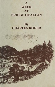

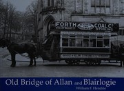

Search results from Open Library.
Recent natural events nearby
Ground air-quality sensors
Recently spotted species
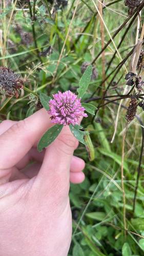
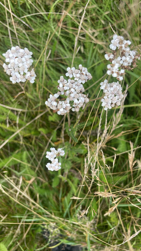
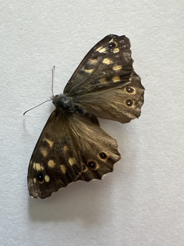
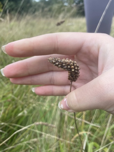
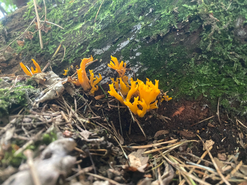
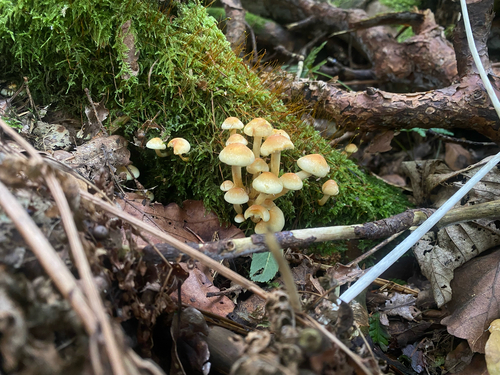
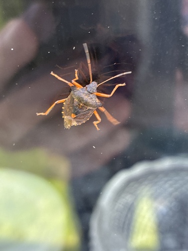
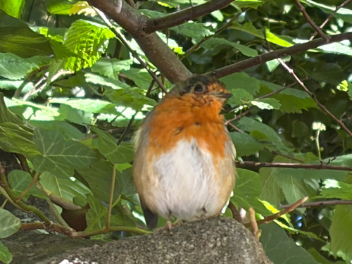
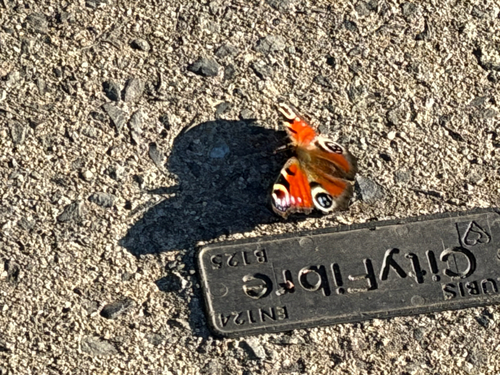
Research-grade observations from iNaturalist (within ~15 mi).
Events
Gallery
Official Identifiers
ONS — UK Office for National Statistics
- ONS code
- osgb4000000074551021
- Local type
- Town
- Region
- Scotland
api.postcodes.io / OS Open Names
Sources
- • Wikipedia
- • iNaturalist
- • Open-Meteo / sunrise-sunset.org
- • Wikipedia Pageviews API
- • Open Library
- • ONS / OS Open Names — UK official place gazetteer, via api.postcodes.io (OS code, local type, county/unitary, district/borough, region)
- • ONS — UK Office for National Statistics — api.postcodes.io / OS Open Names