Browse / United Kingdom / Scotland / Broxburn
Broxburn
Scotlandtown

Broxburn
Total population
15,970
Demographic figures from UK Office for National Statistics. Overview below cites Wikipedia and may reference a different year.
City facts
Overview
Broxburn is a town in West Lothian, Scotland. It is 12 miles (19 km) from the West End of Edinburgh, 5 miles (8.0 km) from Edinburgh Airport and 5 miles (8.0 km) to the north of Livingston. Originally a village known as Easter Strathbock in the medieval period, by 1600, the village had become known as Broxburn. The area developed rapidly during the Victorian era as a result of industrialisation related to shale oil extraction. While much of the industry in the area is now diminished, the town has continued to grow following new residential development, resulting in Broxburn forming a conurbation with neighbouring Uphall. It lies just to the south of Winchburgh.
Read more on WikipediaHistory & geography
History
The village that later became Broxburn probably originated around 1350 when Margery le Cheyne inherited the eastern half of the Barony of Strathbrock (Easter Strathbrock) on the death of her father, Sir Reginald le Cheyne III. The hamlet that grew up around her residence was then called Eastertoun (eastern town) after the land on which it stood. The lands of Strathbrock were earlier owned by Freskin the Fleming, granted to him under a charter from King David I. Easter Strathbrock was burned to the ground sometime in 1443-4 during a conflict between William, Earl of Douglas, Lieutenant-General of Scotland, and William, Lord Crichton, Chancellor of Scotland. It was destroyed again in 1455 during fighting between the Douglases and King James II. After the conflict, peace was regained and the town was gradually resettled. In 1590, Kirkhill House was built for John Laing, a local landowner. The village was renamed Broxburn in 1600 by Sir Richard Cockburn of Clerkington, Keeper of the Privy Seal of Scotland, almost certainly after Broxburn, East Lothian. In 1636, Kirkhill house was granted to Ludovic Stewart, advocate. The house and surrounding land eventually passed to David Erskine, 11th Earl of Buchan, where the house was extensive remodelled in 1770/1771. It then passed to his nephew, the 12th Earl who was buried in St John's Church nearby. The house still exists today in Broxburn and is Category B listed.
Excerpted from the corresponding Wikipedia article (CC BY-SA).
Geography
Coordinates & boundaries from the US Census TIGER/Line shapefiles.
Climate
Air quality
Walkability
Amenities nearby
Wildlife & biodiversity
Earthquake history
Photos
Sights & places nearby
Notable people from here
Geography & sun
Elevation, sunrise/sunset and daylight from Open-Meteo. Solar climatology from NASA POWER.
Nearby airports
Public attention
Pageview totals from the Wikimedia Pageviews API.
Books about Broxburn

Search results from Open Library.
Recent natural events nearby
Ground air-quality sensors
Recently spotted species
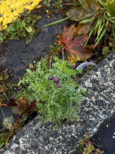
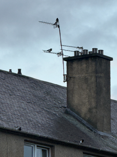
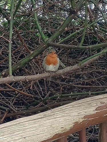
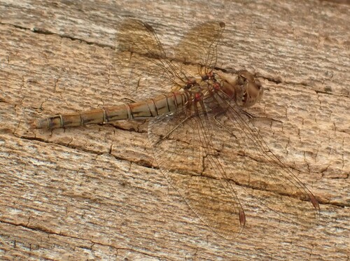
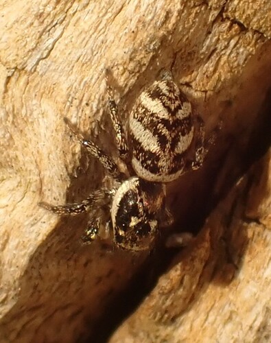
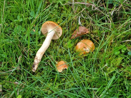
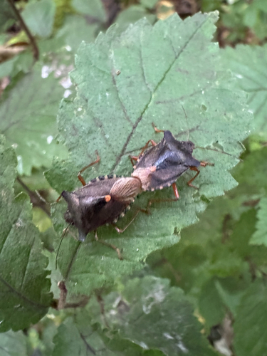
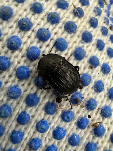
Research-grade observations from iNaturalist (within ~15 mi).
Events
Gallery
Official Identifiers
ONS — UK Office for National Statistics
- ONS code
- osgb4000000074559810
- Local type
- Town
- Region
- Scotland
api.postcodes.io / OS Open Names
Sources
- • Wikipedia
- • iNaturalist
- • Open-Meteo / sunrise-sunset.org
- • Wikipedia Pageviews API
- • Open Library
- • Wikidata SPARQL (CC0) — population, area, elevation, inception, head of government, Commons image
- • ONS / OS Open Names — UK official place gazetteer, via api.postcodes.io (OS code, local type, county/unitary, district/borough, region)
- • ONS — UK Office for National Statistics — api.postcodes.io / OS Open Names