Browse / United Kingdom / England / Callington
Callington
Englandtown

Callington
Demographic figures from UK Office for National Statistics. Overview below cites Wikipedia and may reference a different year.
City facts
Sister cities
Facts from Wikidata (CC0).
Overview
Callington is a town and civil parish in east Cornwall, England. It lies about 7 miles (11 km) north of Saltash and 9 miles (14 km) south of Launceston. The parish had a population of 5,983 in 2021.
Read more on WikipediaHistory & geography
History
The name Callington derives from the Old English calutūn meaning 'bare/bald settlement', most likely referring to a bare hill. Callington has been postulated as one of the possible locations of the ancient site of Celliwig, associated with King Arthur. Nearby ancient monuments include Castlewitch Henge, with a diameter of 96 m and Cadsonbury Iron Age hillfort, as well as Dupath Well built in 1510 on the site of an ancient sacred spring. Callington was recorded in the Domesday Book (1086); the manor had four hides of land and land for thirty ploughs. The lord had land for three ploughs with eleven serfs. Twenty-four villeins and fourteen smallholders had land for fifteen ploughs. There were also one and a half square leagues of pasture and a small amount of woodland. The income of the manor was £6 sterling. In 1267 a market was established in the town. Callington served as the main meeting place for the assemblies of East Wivelshire, one of the ancient hundreds of Cornwall. In 1584 a Callington parliamentary borough (constituency) was established, electing two members of parliament. In 1601 Robert Rolle (died 1633) purchased the manor of Callington, thereby gaining control of one of the constituency's two seats in parliament, making it effectively a pocket borough. He nominated to this seat his brother William Rolle (died 1652) in 1604 and 1614, his son Sir Henry Rolle (1589–1656), of Shapwick, in 1620 and 1624, his son-in-law Thomas Wise (died March 1641) of Sydenham in Devon, in 1625, and another son John Rolle (1598–1648). In the 19th century, Callington was one of the most important mining areas in Great Britain. Deposits of silver were found nearby in Silver Valley. Today, the area is marked by mining remains, but there are no active mines. Granite is…
Geography
The town is situated in east Cornwall between Dartmoor to the east and Bodmin Moor to the west. A former agricultural market town, it lies at the intersection of the south–north A388 Saltash to Launceston road and the east–west A390 Tavistock to Liskeard road. Kit Hill is a mile north-east of the town and rises to with views of Dartmoor, Bodmin Moor and the River Tamar. The hamlets of Bowling Green, Kelly Bray, Frogwell and Downgate are in the parish. The built-up area of Callington had a population of 4,881 in the 2021 census,
Excerpted from the corresponding Wikipedia article (CC BY-SA).
Geography
Coordinates & boundaries from the US Census TIGER/Line shapefiles.
Climate
Air quality
Walkability
Amenities nearby
Wildlife & biodiversity
Earthquake history
Photos
Sights & places nearby
Notable people from here


People born within ~10 km, from Wikidata (CC0). Click any name for their Wikipedia article.
Geography & sun
Elevation, sunrise/sunset and daylight from Open-Meteo. Solar climatology from NASA POWER.
Nearby airports
Public attention
Pageview totals from the Wikimedia Pageviews API.
Books about Callington
Search results from Open Library.
Recent natural events nearby
Ground air-quality sensors
Recently spotted species
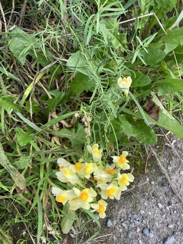
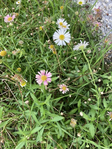
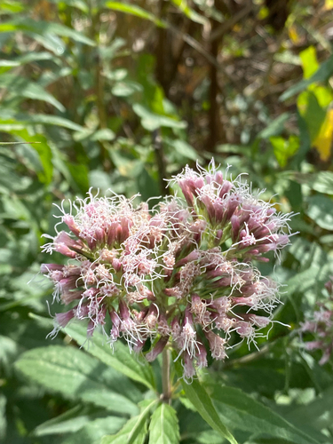
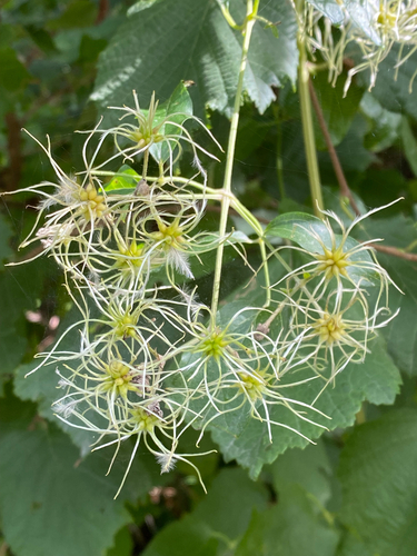
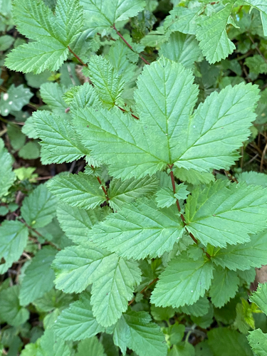
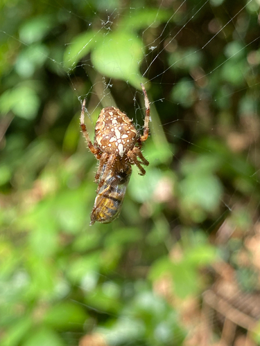

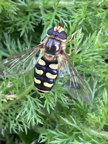
Research-grade observations from iNaturalist (within ~15 mi).
Events
Gallery
Sources
- • Wikipedia
- • Wikidata
- • iNaturalist
- • Open-Meteo / sunrise-sunset.org
- • Wikipedia Pageviews API
- • Open Library