Browse / United Kingdom / England / Cambridge
Cambridge
Englandcity

Cambridge
Total population
145,818
Air quality index
Demographic figures from UK Office for National Statistics. Overview below cites Wikipedia and may reference a different year.
City facts
Sister cities
Facts from Wikidata (CC0).
Overview
Cambridge is a city and non-metropolitan district in the county of Cambridgeshire, England. It is the county town of Cambridgeshire and is located on the River Cam, 55 miles (89 km) north of London. As of the 2021 United Kingdom census, the population of the City of Cambridge was 145,700; the population of the wider built-up area was 181,137. There is archaeological evidence of settlement in the area dating back to as early as the Bronze Age, and Cambridge became an important trading centre during the Roman and Viking eras. The first town charters were granted in the 12th century, although modern city status was not officially conferred until 1951.
Read more on WikipediaHistory & geography
History
Settlements have existed around the Cambridge area since prehistoric times. The earliest clear evidence of occupation is the remains of a year-old farmstead discovered at the site of Fitzwilliam College. Archaeological evidence of occupation through the Iron Age is a settlement on Castle Hill from the 1st century BC, perhaps relating to wider cultural changes occurring in southeastern Britain linked to the arrival of the Belgae. The principal Roman site is a small fort (') Duroliponte''' on Castle Hill, just northwest of the city centre around the location of the earlier British village. The fort was bounded on two sides by the lines formed by the present Mount Pleasant, continuing across Huntingdon Road into Clare Street. The eastern side followed Magrath Avenue, with the southern side running near to Chesterton Lane and Kettle's Yard before turning northwest at Honey Hill. It was constructed around AD 70 and converted to civilian use around 50 years later. Evidence of more widespread Roman settlement has been discovered, including numerous farmsteads and a village in the Cambridge district of Newnham. Following the Roman withdrawal from Britain around 410, the location may have been abandoned by the Britons, although the site is usually identified as , as listed among the 28 cities of Britain in the History of the Britons attributed to Nennius. Evidence exists that the invading Anglo-Saxons had begun occupying the area by the end of the century. Their settlement – also on and around Castle Hill – became known as Grantebrycge{{refn|In the Anglo-Saxon Chronicle, cited by Roach. Cambridge sat on the border between the East and Middle Anglian kingdoms, and the settlement slowly expanded on both sides of the river. Their vigorous trading habits resulted in rapid…
Excerpted from the corresponding Wikipedia article (CC BY-SA).
Geography
Coordinates & boundaries from the US Census TIGER/Line shapefiles.
Climate
Air quality
Current readings from Open-Meteo Air Quality API (Copernicus CAMS European reanalysis).
Walkability
Amenities nearby
Wildlife & biodiversity
Most-observed species
- Common Wood-PigeonColumba palumbus Linnaeus, 1758 · Aves26,380
- Carrion CrowCorvus corone Linnaeus, 1758 · Aves20,618
- European RobinErithacus rubecula (Linnaeus, 1758) · Aves19,780
- Eurasian MagpiePica pica (Linnaeus, 1758) · Aves19,159
- Eurasian Blue TitCyanistes caeruleus (Linnaeus, 1758) · Aves18,235
- Western JackdawColoeus monedula (Linnaeus, 1758) · Aves17,860
- Eurasian BlackbirdTurdus merula Linnaeus, 1758 · Aves17,795
- MallardAnas platyrhynchos Linnaeus, 1758 · Aves17,346
Citizen-science & research observations from the Global Biodiversity Information Facility (GBIF).
Earthquake history
Most recent
- M 3.1 — 2020-09-225 km N of Aylesbury, United Kingdom
- M 3.9 — 2020-09-082 km WSW of Pitstone, United Kingdom
- M 2.8 — 2015-09-222 km W of Cottesmore, United Kingdom
- M 3.8 — 2015-01-282 km WSW of Market Overton, United Kingdom
- M 3.5 — 2014-04-183 km WSW of Market Overton, United Kingdom
- M 2.6 — 2007-07-172 km ENE of Grimston, United Kingdom
Events from the USGS Earthquake Catalog (global) (FDSN Event Web Service).
Photos
Sights & places nearby
Notable people from here


People born within ~10 km, from Wikidata (CC0). Click any name for their Wikipedia article.
Nearby places in England
Geography & sun
Elevation, sunrise/sunset and daylight from Open-Meteo. Solar climatology from NASA POWER.
Nearby airports
Public attention
Pageview totals from the Wikimedia Pageviews API.
Books about Cambridge
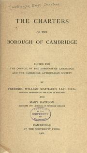



Search results from Open Library.
Recent natural events nearby
Ground air-quality sensors
Recently spotted species
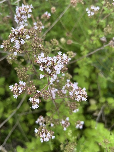
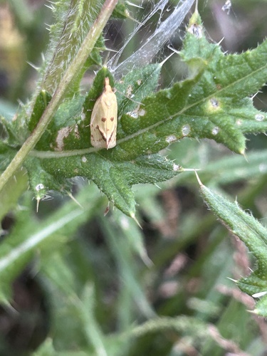
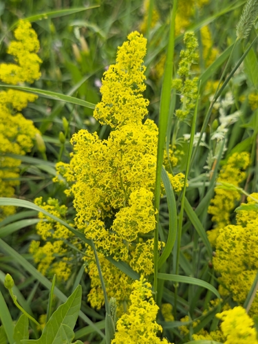
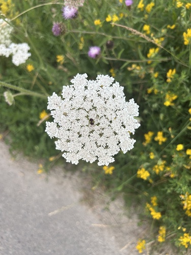
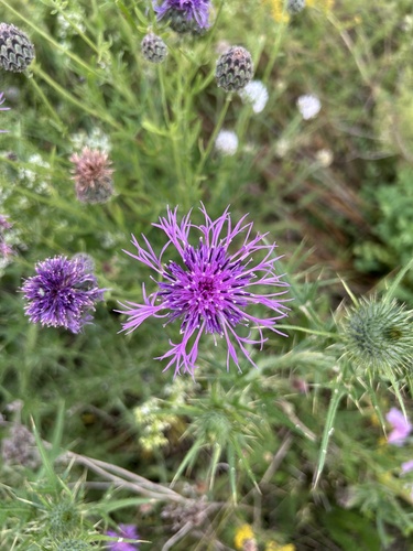
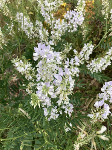
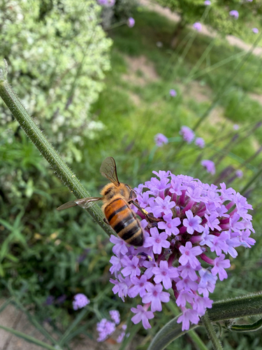
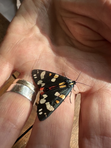
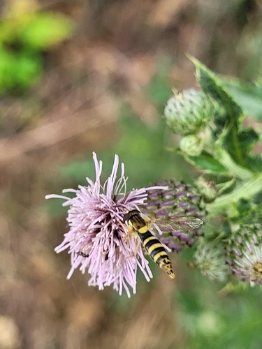
Research-grade observations from iNaturalist (within ~15 mi).
Events
Notable, recurring, and historical events associated with Cambridge, sourced from Wikidata.
- Eleventh Congress of the International Association for Neo-Latin StudiesJan 1, 2000recurring event edition
- 1912 International Congress of MathematiciansAug 22, 1912planned event
5th International Congress of Mathematicians
- World Esperanto Congress 1907Aug 12, 1907recurring event edition
Source: Wikidata (CC0).
Gallery
Geotagged photos within ~6 miles of Cambridge, from Wikimedia Commons contributors.


.jpg)
.jpg)


Photos via Wikimedia Commons — see each image page for license & attribution.
Official Identifiers
ONS — UK Office for National Statistics
- ONS code
- osgb4000000074577087
- Local type
- City
- Region
- Eastern
api.postcodes.io / OS Open Names
Sources
- • Wikipedia
- • Wikimedia Commons
- • Wikidata
- • Open-Meteo Air Quality (CAMS)
- • USGS Earthquake Catalog (global feed)
- • GBIF (Global Biodiversity Information Facility)
- • iNaturalist
- • Open-Elevation
- • Open-Meteo / sunrise-sunset.org
- • Wikipedia Pageviews API
- • Open Library
- • Wikidata SPARQL (CC0) — population, area, elevation, inception, head of government, Commons image
- • ONS / OS Open Names — UK official place gazetteer, via api.postcodes.io (OS code, local type, county/unitary, district/borough, region)
- • ONS — UK Office for National Statistics — api.postcodes.io / OS Open Names