Browse / United Kingdom / England / Carlisle
Carlisle
Englandcity

Carlisle
Total population
72,000
Demographic figures from UK Office for National Statistics. Overview below cites Wikipedia and may reference a different year.
City facts
Facts from Wikidata (CC0).
Overview
Carlisle is a city located in the Cumberland district of Cumbria, England. It is the largest settlement and only city in Cumbria. In 2021, it had a population of 77,730.
Read more on WikipediaHistory & geography
History
The ancient history of Carlisle is derived mainly from archaeological evidence and the works of the Roman historian Tacitus. The earliest recorded inhabitants in the area were the Carvetii tribe of Britons who made up the main population of ancient Cumbria and North Lancashire. According to Boethius and John of Fordun, writing in the 8th and 9th centuries, Carlisle existed before the arrival of the Romans in Britain and was one of the strongest British towns at the time. In the time of the emperor Nero, it was said to have burned down. The Roman settlement was named Luguvalium, based on a native name that has been reconstructed as Brittonic *Luguwaljon, "[city] of Luguwalos", a masculine Celtic given name meaning "strength of Lugus". Excavations undertaken along Annetwell Street in the 1970s dated the Roman timber fort constructed at the site of present Carlisle Castle to the winter of AD 73. It protected a strategic location on the Roman road to the north and overlooking the confluence of the Caldew and Eden rivers. The fort at Carlisle was reconstructed in AD 83 using oak timbers from further afield, rather than local alder as a possible result of the increased Roman control of the area. At this time the Roman fort was garrisoned by a 500-strong cavalry regiment, the '. King Urien and his son and successor Owain became the subjects of a great deal of Arthurian legend. Their capital has been identified as the listed by Nennius among the 28 cities of Britain, which later developed into , whence the city's modern Welsh name Caerliwelydd'''. Rheged came under Northumbrian control before 730, probably by inheritance after Rienmelth, daughter of Royth and great-granddaughter of Urien, married Oswy, King of Northumbria. For the rest of the first millennium, Carlisle…
Geography
Carlisle is situated on a slight rise, in the Cumberland Ward, at the confluence of the rivers Eden, Caldew and Petteril. An important centre for trade, it is located west of Newcastle upon Tyne, north of Lancaster, south-east of Glasgow, south of Edinburgh, north-west of York, and north-north-west of London. Nearby towns and villages include Longtown (north), Penrith (south), Brampton (east), Wigton (west), Haggbeck, Harker, Carwinley, Blackford, Houghton, Scotby, Wreay and Rockcliffe. Carlisle experiences an oceanic climate (Köppen climate classification Cfb). In January 2005, Carlisle was hit by strong gales and heavy rain, and on Saturday 8 January 2005 all roads into Carlisle were closed owing to severe flooding, the worst since 1822, which caused three deaths. Even worse flooding than in 2005 affected Carlisle between 4 and 6 December 2015. During this time, nearly 36 hours of incessant rainfall breached flood defences and left several areas submerged – including Bitts Park, Hardwicke Circus and Warwick Road. This left the Sands Centre (and the nearby Shell petrol station and Bitts Park), marooned from the rest of the city. As several other areas of Cumbria were also badly affected (particularly Appleby and Wigton), all trains to Scotland were postponed indefinitely, with trains on the West Coast Mainline going no further than Preston, as nearby Lancaster suffered flooding and problems with electricity supply. Prime Minister David Cameron visited the city on 7 December 2015 to assess the damage, having earlier called an emergency Cobra meeting. {{Weather box |location = CarlisleWMO ID: 03220; coordinates ; elevation: , 1991–2020 normals | collapsed = | metric first = y | single line = y | Jan record high C = 14.7 | Feb record high C = 16.0 | Mar record…
Excerpted from the corresponding Wikipedia article (CC BY-SA).
Geography
Coordinates & boundaries from the US Census TIGER/Line shapefiles.
Climate
10-year averages from ERA5 reanalysis (Open-Meteo).
Air quality
Walkability
Amenities nearby
Wildlife & biodiversity
Earthquake history
Photos
Sights & places nearby
Notable people from here


People born within ~10 km, from Wikidata (CC0). Click any name for their Wikipedia article.
Geography & sun
Nearby airports
Public attention
Books about this place
Recent natural events nearby
Ground air-quality sensors
Recently spotted species
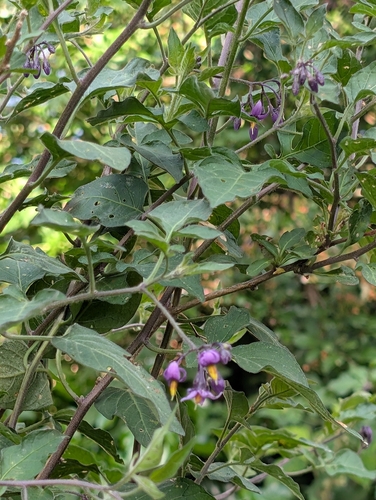
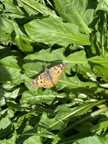
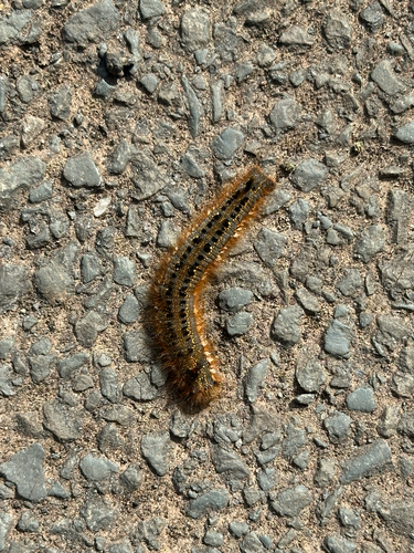
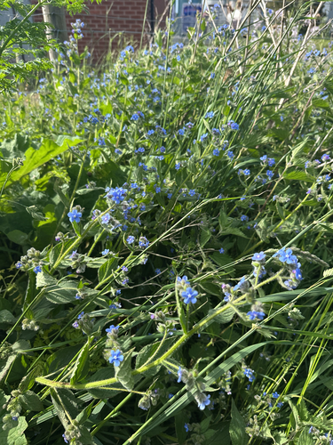
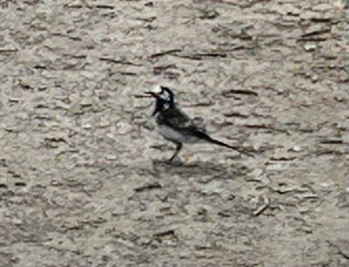
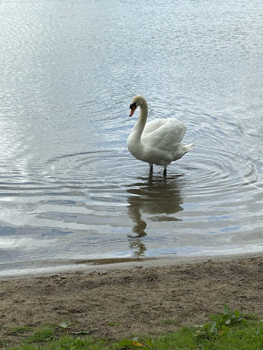
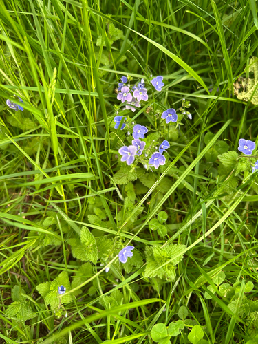
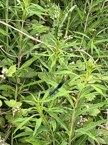
Research-grade observations from iNaturalist (within ~15 mi).
Events
Gallery
Official Identifiers
ONS — UK Office for National Statistics
- ONS code
- osgb4000000074551822
- Local type
- City
- Region
- North West
api.postcodes.io / OS Open Names
Sources
- • Wikipedia
- • Open-Meteo (ERA5 reanalysis)
- • Wikidata
- • iNaturalist
- • Wikidata SPARQL (CC0) — population, area, elevation, inception, head of government, Commons image
- • ONS / OS Open Names — UK official place gazetteer, via api.postcodes.io (OS code, local type, county/unitary, district/borough, region)
- • ONS — UK Office for National Statistics — api.postcodes.io / OS Open Names