Browse / United Kingdom / England / Chester
Chester
Englandcity

Chester
Total population
119,000
Demographic figures from UK Office for National Statistics. Overview below cites Wikipedia and may reference a different year.
City facts
Sister cities
Facts from Wikidata (CC0).
Overview
Chester is a cathedral city in Cheshire, England, on the River Dee, very close to the England–Wales border. It had a built-up area population of 92,760 in 2021, it is the most populous settlement in the borough of Cheshire West and Chester. It is the historic county town of Cheshire and the second-largest settlement in Cheshire after Warrington.
Read more on WikipediaHistory & geography
History
Charles Leigh concluded in 1701 that there was probably a British city called Genuina (or Gunia) before the arrival of the Romans. The Roman Legio II Adiutrix during the reign of the Emperor Vespasian founded Chester around 75 AD as a "castrum" or Roman fort with the name Deva Victrix. It was established in the land of the Celtic Cornovii, according to the ancient cartographer Ptolemy, as a fortress during the Roman expansion northward, and was named Deva either after the goddess of the Dee, or directly from the British name for the river. The 'victrix' part of the name was taken from the title of the Legio XX Valeria Victrix which was based at Deva. Central Chester's four main roads, Eastgate, Northgate, Watergate and Bridge Street, follow routes laid out at this time. A civilian settlement grew around the military base, which probably originated from trade with the fortress. The fortress was 20% larger than other fortresses in the Roman province of Britannia built around the same time at York (Eboracum) and Caerleon (Isca Augusta); this has led to the suggestion that the fortress, rather than London (Londinium), was intended to become the capital of the Roman province of Britannia Superior. The civilian amphitheatre, which was built in the 1st century, could seat between 8,000 and 10,000 people. It is the largest known military amphitheatre in Britain, and is also a Scheduled Monument. The Minerva Shrine in the Roman quarry is the only rock-cut Roman shrine still in situ in Britain. The fortress was garrisoned by the legion until at least the late 4th century. Although the army had abandoned the fortress by 410 when the Romans retreated from Britannia, the Romano-British civilian settlement continued (probably with some Roman veterans staying behind with their…
Geography
Chester lies at the southern end of a Triassic sandstone ridge, rising to a height of 42 m within a natural S-bend in the River Dee (before the course was altered in the 18th century). The bedrock, also known as the Chester Pebble Beds, is notable for the many small stones trapped within its strata. Retreating glacial sheet ice also deposited quantities of sand and marl across the area where boulder clay was absent. The eastern and northern parts of Chester consisted of heathland and forest. The western side towards the Dee Estuary was marsh and wetland habitats. Chester has an oceanic climate (Köppen: Cfb), typical of the British Isles but more susceptible to cold than the extreme south. Despite its proximity to the Irish Sea, the temperature regime is similar to areas further inland, owing to the shelter provided by the Pennines to the northeast and the Welsh Mountains to the southwest. The nearest official weather station is at Hawarden Airport, about west of the city centre. The absolute maximum temperature recorded was on 18 July 2022, the highest temperature reported in Wales. In an average year, the warmest day should reach , and 12.0 days in total should attain a temperature of or higher. Given the correctly aligned breezy conditions, a föhn effect will operate, meaning local temperatures are somewhat higher than the surrounding area. The absolute minimum temperature recorded was during January 1982. Annually, an average of 42.2 air frosts should be recorded. Annual rainfall is barely over 700mm due to a rain shadow effect caused by the Welsh Mountains. Over 1mm of rain is reported on 135.5 days.
Excerpted from the corresponding Wikipedia article (CC BY-SA).
Geography
Coordinates & boundaries from the US Census TIGER/Line shapefiles.
Climate
Air quality
Walkability
Amenities nearby
Wildlife & biodiversity
Most-observed species
- Common Wood-PigeonColumba palumbus Linnaeus, 1758 · Aves10,698
- Eurasian BlackbirdTurdus merula Linnaeus, 1758 · Aves9,558
- European RobinErithacus rubecula (Linnaeus, 1758) · Aves8,672
- Eurasian MagpiePica pica (Linnaeus, 1758) · Aves8,467
- MallardAnas platyrhynchos Linnaeus, 1758 · Aves8,309
- Carrion CrowCorvus corone Linnaeus, 1758 · Aves7,914
- Eurasian Blue TitCyanistes caeruleus (Linnaeus, 1758) · Aves7,064
- Black-headed GullChroicocephalus ridibundus (Linnaeus, 1766) · Aves6,606
Citizen-science & research observations from the Global Biodiversity Information Facility (GBIF).
Earthquake history
Most recent
- M 2.7 — 2023-06-282 km SE of Cheadle, United Kingdom
- M 3.6 — 2022-05-302 km ESE of Prees, United Kingdom
- M 3.2 — 2022-02-215 km N of Hockley, United Kingdom
- M 3 — 2015-05-266 km WSW of Caernarfon, United Kingdom
- M 3.2 — 2013-08-2523 km W of Cleveleys, United Kingdom
- M 3.3 — 2007-11-304 km NNE of Llanrhaeadr-ym-Mochnant, United Kingdom
Events from the USGS Earthquake Catalog (global) (FDSN Event Web Service).
Photos
Sights & places nearby
Notable people from here


People born within ~10 km, from Wikidata (CC0). Click any name for their Wikipedia article.
Nearby places in England
Geography & sun
Elevation, sunrise/sunset and daylight from Open-Meteo. Solar climatology from NASA POWER.
Nearby airports
Public attention
Pageview totals from the Wikimedia Pageviews API.
Books about Chester


Search results from Open Library.
Recent natural events nearby
Ground air-quality sensors
Recently spotted species
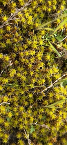
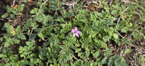
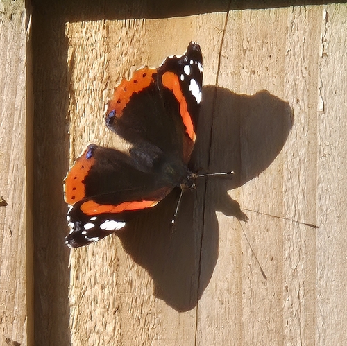
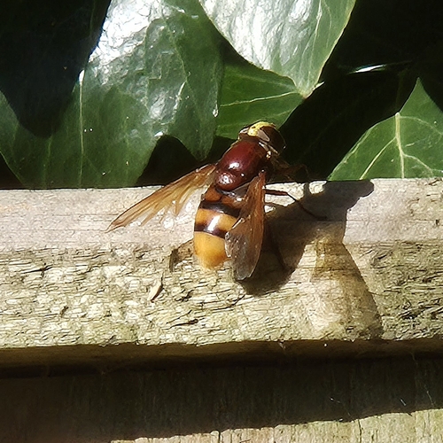

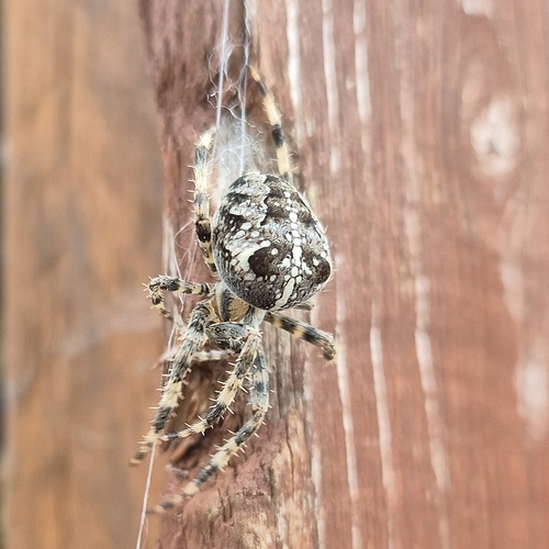
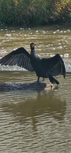
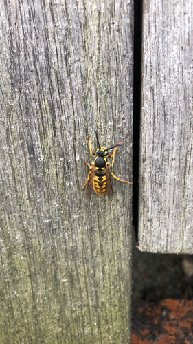
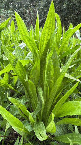
Research-grade observations from iNaturalist (within ~15 mi).
Events
Gallery
Official Identifiers
ONS — UK Office for National Statistics
- ONS code
- osgb4000000074556976
- Local type
- City
- Region
- North West
api.postcodes.io / OS Open Names
Sources
- • Wikipedia
- • Wikidata
- • USGS Earthquake Catalog (global feed)
- • GBIF (Global Biodiversity Information Facility)
- • iNaturalist
- • Open-Meteo / sunrise-sunset.org
- • Wikipedia Pageviews API
- • Open Library
- • Wikidata SPARQL (CC0) — population, area, elevation, inception, head of government, Commons image
- • ONS / OS Open Names — UK official place gazetteer, via api.postcodes.io (OS code, local type, county/unitary, district/borough, region)
- • ONS — UK Office for National Statistics — api.postcodes.io / OS Open Names