Browse / United Kingdom / England / Clun
Clun
Englandtown

Clun
Total population
680
Demographic figures from UK Office for National Statistics. Overview below cites Wikipedia and may reference a different year.
City facts
Facts from Wikidata (CC0).
Overview
Clun is a town in south west Shropshire, England, and the Shropshire Hills National Landscape. The 2011 census recorded 680 people living in the town. Research by the Campaign for the Protection of Rural England suggests that Clun is one of the "most tranquil" locations in England.
Read more on WikipediaHistory & geography
History
Clun takes its name from the river upon whose banks it stands. Deriving from the Welsh , it shares its very early Brythonic root with the two rivers Colne, in Lancashire and Essex, each of which has a town of the same name on its banks. Clun grew up around the site of an Anglo-Saxon church towards the end of the 7th century AD. However, in the surrounding area there was a scattered population at least as early as the Neolithic period, about 5000 years ago. Clun was on the historic drove road where flocks and herds were driven from Wales to the markets in the Midlands and London. At the time of the Norman Conquest Clun formed part of the extensive lands of Eadric the Wild, who led a revolt against King William I, whereon his lands were confiscated and given to Roger de Montgomery who was created Earl of Shrewsbury. Roger in turn granted 27 manors, of which Clun was the largest, to Picot de Say. These lands constituted a single Marcher Lordship which became known as the Barony of Clun. The de Say family established Clun Castle. The 14th-century Clun Bridge, a pack horse bridge that crosses the river connecting Saxon Clun to Norman Clun, has given rise to a local saying: "whoever crosses Clun Bridge comes back sharper than he went". Clun Mill located to the north of the town is nicknamed the "malevolent mill" on account of numerous deaths having been recorded there and occupants disappearing after purchasing it. Last used around 1920, it opened as a youth hostel in 1932.
Geography
The town's name is taken from that of the River Clun (), which flows from west to east through the settlement. The Clun Valley is dominated by agriculture, though some areas of woodland remain. The River Unk joins the Clun just to the west of the town. The A488 and B4368 roads cross in the town of Clun. Craven Arms, Bishop's Castle and Ludlow are the neighbouring Shropshire towns, and Knighton, which is in Wales, is to the south. Nearby is Offa's Dyke and the Offa's Dyke Path. Clun Forest is to the west of the town, further upstream of the Rivers Unk and Clun. The Jack Mytton Way passes through the town as does the Shropshire Way and further significant historic routes pass through the area. The town centre on the north bank of the River Clun lies above sea level while the oldest part of the settlement, by St George's Church on the south bank, is a little more elevated, at . Between the two, Clun Bridge above sea level) carries the A488 and B4368 routes across the river. In addition to Clun Bridge there is also a ford further downstream, at Waterloo, which has recently been made usable to most motor vehicles, A third crossing point, a footbridge just upstream of Clun Bridge, connects the town's main car park to the castle grounds. The population of the civil parish of Clun was 1,184 as measured by the 2011 census. The population of the town is considerably less than that of its much wider parish, recorded as just 680 people in 2011,
Excerpted from the corresponding Wikipedia article (CC BY-SA).
Geography
Coordinates & boundaries from the US Census TIGER/Line shapefiles.
Climate
Air quality
Walkability
Amenities nearby
Wildlife & biodiversity
Earthquake history
Photos
Sights & places nearby
Notable people from here
Nearby places in England
Geography & sun
Elevation, sunrise/sunset and daylight from Open-Meteo. Solar climatology from NASA POWER.
Nearby airports
Public attention
Pageview totals from the Wikimedia Pageviews API.
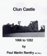
Books about Clun
![[Report 1938]](https://covers.openlibrary.org/b/id/11792672-M.jpg)

![[Report 1969]](https://covers.openlibrary.org/b/id/7925141-M.jpg)
![[Report 1970]](https://covers.openlibrary.org/b/id/7937306-M.jpg)
Search results from Open Library.
Recent natural events nearby
Ground air-quality sensors
Recently spotted species
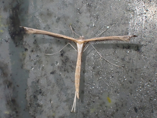
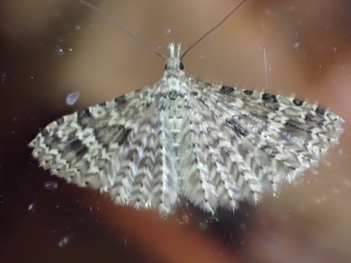
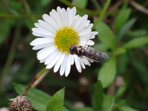
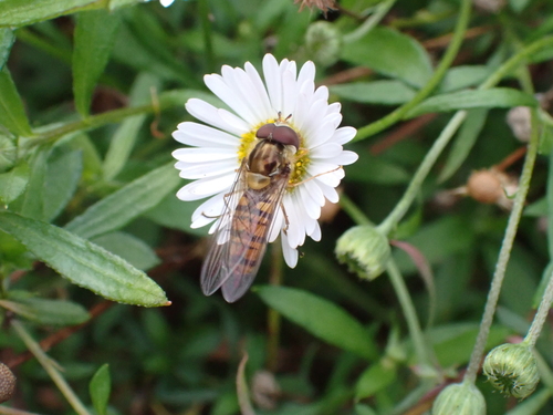
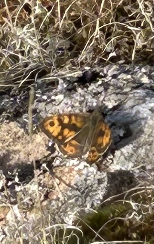
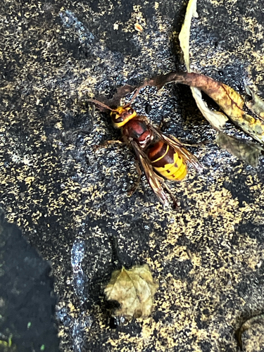
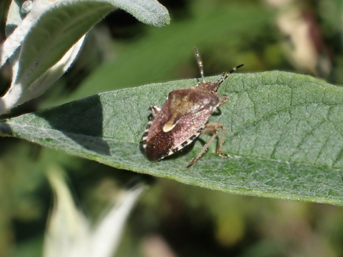
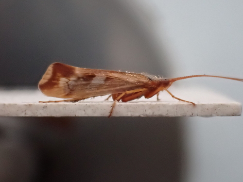
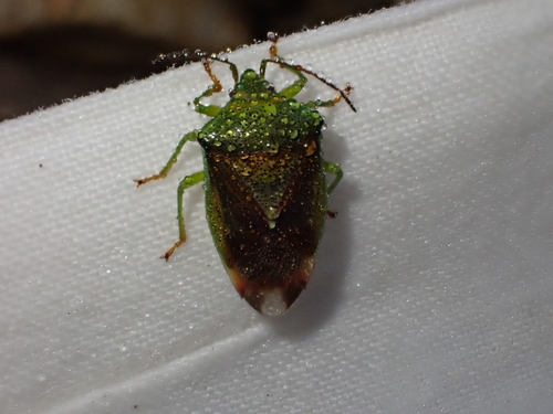
Research-grade observations from iNaturalist (within ~15 mi).
Events
Gallery
Official Identifiers
ONS — UK Office for National Statistics
- ONS code
- osgb4000000074560568
- Local type
- Village
- Region
- West Midlands
api.postcodes.io / OS Open Names
Sources
- • Wikipedia
- • Wikidata
- • iNaturalist
- • Open-Meteo / sunrise-sunset.org
- • Wikipedia Pageviews API
- • Open Library
- • ONS / OS Open Names — UK official place gazetteer, via api.postcodes.io (OS code, local type, county/unitary, district/borough, region)
- • ONS — UK Office for National Statistics — api.postcodes.io / OS Open Names