Browse / United Kingdom / Northern Ireland / Coleraine
Coleraine
Northern Irelandtown

Coleraine
Total population
24,630
Demographic figures from UK Office for National Statistics. Overview below cites Wikipedia and may reference a different year.
City facts
Sister cities
Facts from Wikidata (CC0).
Overview
Coleraine is a town and civil parish near the mouth of the River Bann in County Londonderry, Northern Ireland, of which it is the county town. It is 55 miles (89 km) north-west of Belfast and 30 miles (48 km) east of Derry, both of which are linked by major roads and railway connections. It is part of Causeway Coast and Glens district. Coleraine had a population of 24,483 people in the 2021 census.
Read more on WikipediaHistory & geography
History
Coleraine has some of the oldest evidence of human settlement in Ireland. Mount Sandel dates from approximately 5935 BC. The Iron Age souterrain and Ogham Stone and be found just southwest of Coleraine at Dunalis. The 9th Century hagiography, Tripartite Life of Saint Patrick, records how the town got its name. When Patrick arrived in the neighbourhood, he was received with great honour and hospitality by the local chieftain, Nadslua, who offered him a piece of ground on which to build a church. The spot was next to the river Bann and was overgrown with ferns, which were being burned by some boys to amuse themselves. This incident led to the area being called ('nook of ferns'), which was later anglicised as Coulrath, Colrain, Colerain and Coleraine. It was translated by Colgan into Latin as . The town's main Church of Ireland church, St. Patrick's Church, is named in reference to this history. It was heavily remodelled by the architect Sir Thomas Drew in the 1880s. The town was one of the two urban communities developed by the London Companies in County Londonderry in the Plantation of Ulster at the start of the 17th century. In particular, The Honourable the Irish Society was made responsible for much of Coleraine and it remains so today. The slightly skewed street pattern of Coleraine's town centre is the legacy of that early exercise in town planning, along with traces of the lines of the ramparts that provided the Plantation town with its defences. During the War of the Two Kings (1689–91) Coleraine was a centre of Protestant resistance to the rule of James II. Richard Hamilton's Irish Army made an attempt to seize the town but was repulsed. The Protestants were forced to abandon the town shortly afterwards and withdrew to Derry. Later the same year,…
Geography
Coleraine is at the lowest bridgeable point of the River Bann, where the river is wide. The town square is called 'The Diamond' and is the location of Coleraine Town Hall. The three bridges in Coleraine are the Sandelford Bridge, Coleraine Bridge and the Bann Bridge. The town has a large catchment area and is designated as a "major growth area" in the Northern Ireland Development Strategy.
Excerpted from the corresponding Wikipedia article (CC BY-SA).
Geography
Coordinates & boundaries from the US Census TIGER/Line shapefiles.
Climate
Air quality
Walkability
Amenities nearby
Wildlife & biodiversity
Earthquake history
Photos
Sights & places nearby
Notable people from here


People born within ~10 km, from Wikidata (CC0). Click any name for their Wikipedia article.
Geography & sun
Elevation, sunrise/sunset and daylight from Open-Meteo. Solar climatology from NASA POWER.
Nearby airports
Public attention
Pageview totals from the Wikimedia Pageviews API.
Books about Coleraine

Search results from Open Library.
Recent natural events nearby
Ground air-quality sensors
Recently spotted species
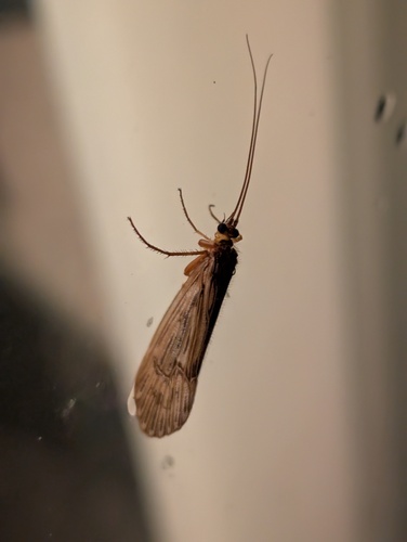
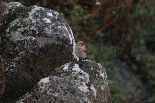
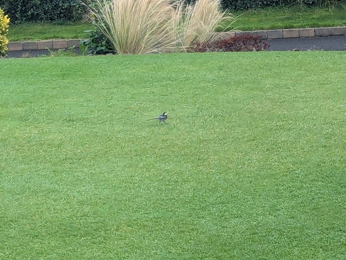
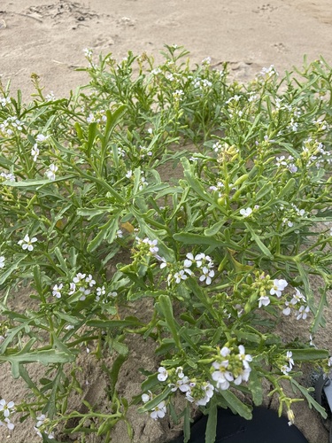
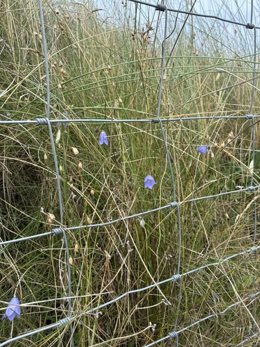
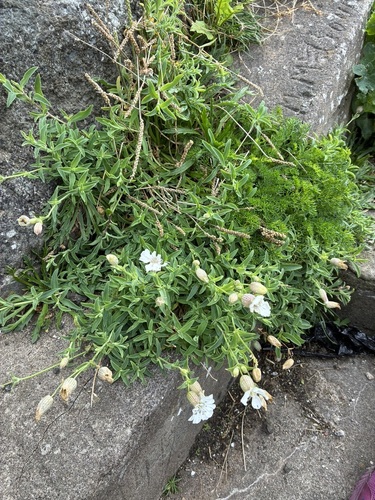
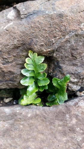
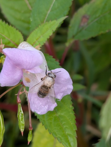
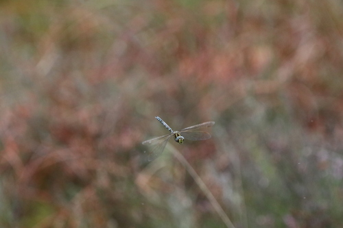
Research-grade observations from iNaturalist (within ~15 mi).
Events
Gallery
Sources
- • Wikipedia
- • Wikidata
- • iNaturalist
- • Open-Meteo / sunrise-sunset.org
- • Wikipedia Pageviews API
- • Open Library
- • Wikidata SPARQL (CC0) — population, area, elevation, inception, head of government, Commons image